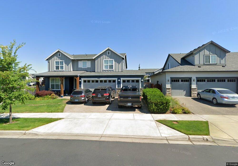
1869 Silverstone Dr Forest Grove, OR 97116
Estimated Value: $678,000 - $814,000
About This Home
This home is located at 1869 Silverstone Dr, Forest Grove, OR 97116 and is currently estimated at $734,941, approximately $222 per square foot. 1869 Silverstone Dr is a home with nearby schools including Harvey Clarke Elementary School, Tom McCall Upper Elementary School, and Neil Armstrong Middle School.
Ownership History
We collect this data history from publicly available records. To have your information removed, we recommend requesting removal directly through your county’s website.
Purchase Details
Home Financials for this Owner
Home Financials are based on the most recent Mortgage that was taken out on this home.Purchase History
We collect this data history from publicly available records. To have your information removed, we recommend requesting removal directly through your county’s website.
| Date | Buyer | Sale Price | Title Company |
|---|---|---|---|
| $580,356 | First American Title |
Mortgage History
We collect this data history from publicly available records. To have your information removed, we recommend requesting removal directly through your county’s website.
| Date | Status | Borrower | Loan Amount |
|---|---|---|---|
| Closed | $435,267 |
Tax History
We collect this data history from publicly available records. To have your information removed, we recommend requesting removal directly through your county’s website.
| Year | Tax Paid | Tax Assessment Tax Assessment Total Assessment is a certain percentage of the fair market value that is determined by local assessors to be the total taxable value of land and additions on the property. | Land | Improvement |
|---|---|---|---|---|
| 2026 | $7,848 | $428,810 | -- | -- |
| 2025 | $7,636 | $416,330 | -- | -- |
| 2024 | $7,367 | $404,210 | -- | -- |
| 2023 | $7,367 | $392,440 | $0 | $0 |
| 2022 | $6,441 | $392,440 | $0 | $0 |
| 2021 | $6,358 | $369,920 | $0 | $0 |
| 2020 | $6,324 | $359,150 | $0 | $0 |
| 2019 | $6,183 | $348,690 | $0 | $0 |
| 2018 | $1,145 | $64,680 | $0 | $0 |
Map
- 1992 Aspen Ln
- 3651 Main St Unit Lot 121
- 2043 35th Ave
- 3692 Ash St Unit Lot 114
- 3686 Ash St Unit Lot 115
- 3660 Ash St Unit Lot 117
- 3698 Ash St Unit Lot 113
- 3702 Ash St Unit Lot 112
- 2081 Silverstone Dr
- 3316 B St
- 2133 36th Ave
- 2123 Colby Ln Unit Lot 74
- 2088 37th Ave Unit Lot 110
- 2096 37th Ave Unit Lot 109
- 3300 N Main St Unit 105
- 2143 Colby Ln Unit Lot 77
- 1627 36th Ave
- 3658 Tiana St
- 1636 Bonnie Ln
- 3102 B St
- 1875 Silverstone Dr
- 2465 NW Highway 47
- 3503 Hank Ct
- 3514 Arleen Ct
- 3511 Hank Ct
- 1872 Silverstone Dr
- 3432 Hank Ct
- 3524 Hank Ct
- 1851 Silverstone Dr
- 1883 Silverstone Dr
- 1857 Silverstone Dr
- 1880 Silverstone Dr
- 3525 Arleen Ct
- 3508 Hank Ct
- 1845 Silverstone Dr
- 1901 Silverstone Dr
- 1888 Silverstone Dr
- 3521 Arleen Ct
- 3512 Hank Ct
- 1857 35th Ave
Ask me questions while you tour the home.