1869 Utility Rd Rocky Face, GA 30740
Estimated Value: $296,020 - $397,000
--
Bed
2
Baths
1,972
Sq Ft
$173/Sq Ft
Est. Value
About This Home
This home is located at 1869 Utility Rd, Rocky Face, GA 30740 and is currently estimated at $341,255, approximately $173 per square foot. 1869 Utility Rd is a home located in Whitfield County with nearby schools including Westside Elementary School, Westside Middle School, and Northwest Whitfield County High School.
Ownership History
Date
Name
Owned For
Owner Type
Purchase Details
Closed on
Jul 5, 2023
Sold by
Gentry James Larry and Gentry Dee Anne
Bought by
Dale Harold and Dale Flossie
Current Estimated Value
Purchase Details
Closed on
Sep 23, 2005
Sold by
Not Provided
Bought by
Dale Harold and Dale Flossie
Purchase Details
Closed on
Feb 11, 2004
Sold by
Brown Waymon Harold
Bought by
Gregory Chad and Gregory Jamie
Purchase Details
Closed on
Aug 26, 2002
Sold by
Bagley Charlie E and Rosa Arminda
Bought by
Brown Waymon Harold
Create a Home Valuation Report for This Property
The Home Valuation Report is an in-depth analysis detailing your home's value as well as a comparison with similar homes in the area
Home Values in the Area
Average Home Value in this Area
Purchase History
| Date | Buyer | Sale Price | Title Company |
|---|---|---|---|
| Dale Harold | -- | None Listed On Document | |
| Dale Harold | $155,000 | -- | |
| Gregory Chad | $141,000 | -- | |
| Brown Waymon Harold | $36,000 | -- |
Source: Public Records
Tax History Compared to Growth
Tax History
| Year | Tax Paid | Tax Assessment Tax Assessment Total Assessment is a certain percentage of the fair market value that is determined by local assessors to be the total taxable value of land and additions on the property. | Land | Improvement |
|---|---|---|---|---|
| 2024 | $158 | $115,005 | $37,380 | $77,625 |
| 2023 | $158 | $96,388 | $25,258 | $71,130 |
| 2022 | $546 | $70,886 | $21,290 | $49,596 |
| 2021 | $547 | $70,886 | $21,290 | $49,596 |
| 2020 | $578 | $69,212 | $19,616 | $49,596 |
| 2019 | $603 | $69,212 | $19,616 | $49,596 |
| 2018 | $594 | $66,571 | $16,975 | $49,596 |
| 2017 | $595 | $66,571 | $16,975 | $49,596 |
| 2016 | $488 | $62,252 | $16,975 | $45,277 |
| 2014 | $330 | $60,956 | $15,680 | $45,277 |
| 2013 | -- | $60,956 | $15,679 | $45,276 |
Source: Public Records
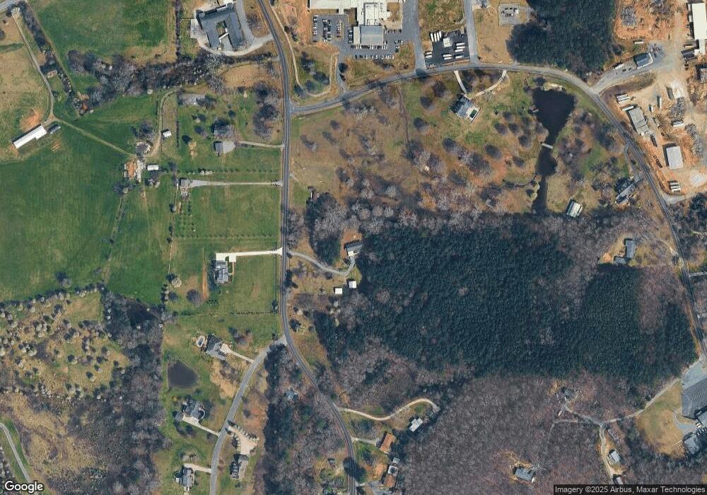
Map
Nearby Homes
- 3365 Crider Rd
- 2015 Westin Way
- 3231 Leona Dr
- 3149 Old Crider Rd
- 304 Eden Park Dr
- 3218 Leona Dr
- 00 Crider Rd
- Lot 6 Eden Park Dr
- Lot 5 Eden Park Dr
- 259 Paradise Dr
- 37 Turkey Trot Dr
- 140 Ault Dr
- 967 Lafayette Rd
- 359 Lafayette Rd
- 000 Bishop Trail
- 2020 Deer Crossing
- 2045 Deer Crossing
- 0 Lamory Ln Unit 7494272
- 0 Lamory Ln Unit 10422540
- 163 Gladstone Way
- 1869 Utility Rd
- 1868 Utility Rd
- 1906 Utility Rd
- 2002 Westin Way
- 1830 Utility Rd
- 1921 Utility Rd
- 1927 Utility Rd
- 1931 Utility Rd
- 2006 Westin Way
- 2005 Westin Way
- 1933 Utility Rd
- 1930 Utility Rd
- 3371 Crider Rd
- 2010 Westin Way
- 208 Goforth Way
- 1957 Utility Rd
- LOT 4 Crider Rd
- 3300* Crider Rd
- 3366 Crider Rd
- 661 Lafayette Rd