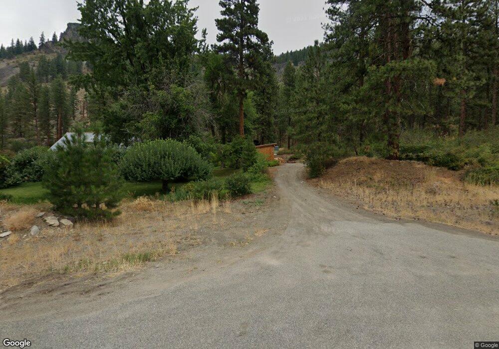
18693 State Route 20 Winthrop, WA 98862
Estimated Value: $375,000 - $599,000
--
Bed
--
Bath
1,973
Sq Ft
$230/Sq Ft
Est. Value
About This Home
This home is located at 18693 State Route 20, Winthrop, WA 98862 and is currently estimated at $453,500, approximately $229 per square foot. 18693 State Route 20 is a home with nearby schools including Methow Valley Elementary School, Liberty Bell Junior/Senior High School, and Methow Valley Independent Learning Center.
Ownership History
Date
Name
Owned For
Owner Type
Purchase Details
Closed on
Sep 17, 2013
Sold by
Graybeal Douglas L and Graybeal Brenda M
Bought by
Knudsen Nils and Knudsen Sarah
Current Estimated Value
Purchase Details
Closed on
Sep 5, 2006
Sold by
Holcomb Walter R and Holcomb Beverly A
Bought by
Graybeal Douglas L and Graybeal Brenda M
Home Financials for this Owner
Home Financials are based on the most recent Mortgage that was taken out on this home.
Original Mortgage
$171,000
Interest Rate
6.67%
Mortgage Type
New Conventional
Create a Home Valuation Report for This Property
The Home Valuation Report is an in-depth analysis detailing your home's value as well as a comparison with similar homes in the area
Home Values in the Area
Average Home Value in this Area
Purchase History
| Date | Buyer | Sale Price | Title Company |
|---|---|---|---|
| Knudsen Nils | $193,000 | Inland Professional Title | |
| Graybeal Douglas L | $180,000 | Transnation Title |
Source: Public Records
Mortgage History
| Date | Status | Borrower | Loan Amount |
|---|---|---|---|
| Previous Owner | Graybeal Douglas L | $171,000 |
Source: Public Records
Tax History Compared to Growth
Tax History
| Year | Tax Paid | Tax Assessment Tax Assessment Total Assessment is a certain percentage of the fair market value that is determined by local assessors to be the total taxable value of land and additions on the property. | Land | Improvement |
|---|---|---|---|---|
| 2025 | $2,007 | $283,900 | $35,000 | $248,900 |
| 2024 | $2,007 | $250,700 | $35,000 | $215,700 |
| 2022 | $1,616 | $145,200 | $17,500 | $127,700 |
| 2021 | $1,580 | $145,200 | $17,500 | $127,700 |
| 2020 | $1,253 | $134,900 | $17,500 | $117,400 |
| 2019 | $1,191 | $107,800 | $17,500 | $90,300 |
| 2018 | $1,234 | $107,800 | $17,500 | $90,300 |
| 2017 | $1,123 | $107,800 | $17,500 | $90,300 |
| 2016 | $1,105 | $107,700 | $15,800 | $91,900 |
| 2015 | -- | $107,700 | $15,800 | $91,900 |
| 2013 | -- | $107,700 | $15,800 | $91,900 |
Source: Public Records
Map
Nearby Homes
- 19 Green Rd
- 0 Wolf Creek Rd Unit NWM2363958
- 0 Wolf Creek Rd Unit 19887277
- 45 W Fawn Creek Rd
- 11 Highland Meadow Rd
- 427 Rendezvous Rd
- 28 Cottonwood Dr
- 57 Lealand
- 58 Homestead Rd
- 78 Homestead Rd
- 94 Homestead Rd
- 56 Fawn Meadow Ln
- 1 Perrow Dr
- 40 Rolling Rock Rd
- 18 Liberty Ln
- 3 B Johnny Haase Ln
- 13 Sundance Rd
- 572 B W Chewuch Rd (Barron Blvd) Rd
- 599 W Chewuch Rd
- 67 Northcott Rd
