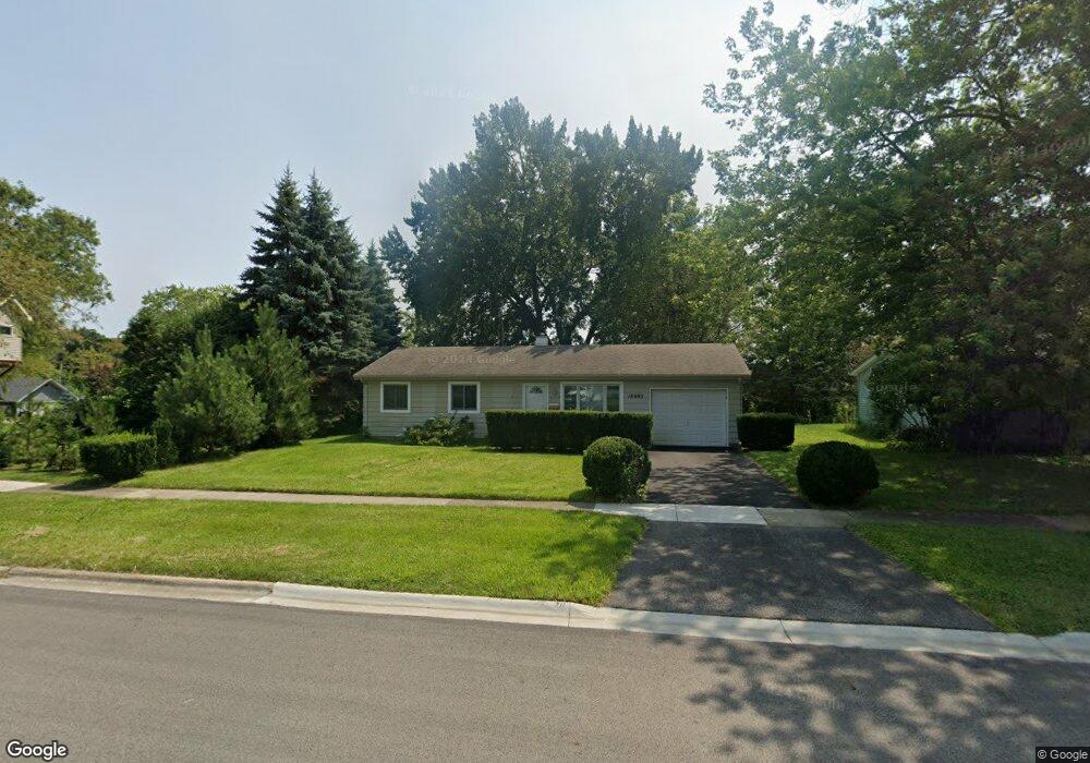
18693 W Ash Dr Gurnee, IL 60031
Estimated Value: $227,000 - $251,000
--
Bed
2
Baths
925
Sq Ft
$260/Sq Ft
Est. Value
About This Home
This home is located at 18693 W Ash Dr, Gurnee, IL 60031 and is currently estimated at $240,592, approximately $260 per square foot. 18693 W Ash Dr is a home located in Lake County with nearby schools including Woodland Primary School, Woodland Intermediate School, and Woodland Elementary School.
Ownership History
Date
Name
Owned For
Owner Type
Purchase Details
Closed on
Aug 14, 2002
Sold by
Hughes Patrice A and Estate Of David D Phillips
Bought by
Dworak Ann J
Current Estimated Value
Home Financials for this Owner
Home Financials are based on the most recent Mortgage that was taken out on this home.
Original Mortgage
$113,600
Interest Rate
6.56%
Purchase Details
Closed on
Jan 18, 1996
Sold by
Phillips David C and Phillips Timothy J
Bought by
Phillips David C
Create a Home Valuation Report for This Property
The Home Valuation Report is an in-depth analysis detailing your home's value as well as a comparison with similar homes in the area
Home Values in the Area
Average Home Value in this Area
Purchase History
| Date | Buyer | Sale Price | Title Company |
|---|---|---|---|
| Dworak Ann J | $142,000 | First American Title | |
| Phillips David C | -- | Chicago Title Insurance Co |
Source: Public Records
Mortgage History
| Date | Status | Borrower | Loan Amount |
|---|---|---|---|
| Closed | Dworak Ann J | $113,600 | |
| Closed | Dworak Ann J | $14,200 |
Source: Public Records
Tax History Compared to Growth
Tax History
| Year | Tax Paid | Tax Assessment Tax Assessment Total Assessment is a certain percentage of the fair market value that is determined by local assessors to be the total taxable value of land and additions on the property. | Land | Improvement |
|---|---|---|---|---|
| 2024 | $5,195 | $65,202 | $12,074 | $53,128 |
| 2023 | $4,979 | $58,772 | $10,883 | $47,889 |
| 2022 | $4,979 | $52,246 | $11,320 | $40,926 |
| 2021 | $4,328 | $48,221 | $10,448 | $37,773 |
| 2020 | $4,163 | $47,036 | $10,191 | $36,845 |
| 2019 | $4,078 | $45,670 | $9,895 | $35,775 |
| 2018 | $3,510 | $40,994 | $13,553 | $27,441 |
| 2017 | $3,535 | $39,820 | $13,165 | $26,655 |
| 2016 | $3,472 | $38,047 | $12,579 | $25,468 |
| 2015 | $3,344 | $36,084 | $11,930 | $24,154 |
| 2014 | $2,904 | $32,974 | $12,491 | $20,483 |
| 2012 | $3,084 | $33,227 | $12,587 | $20,640 |
Source: Public Records
Map
Nearby Homes
- 18705 W Ash Dr
- 18758 W Highfield Dr
- 36225 N Us Highway 45
- 18325 W Lakeview Terrace
- 36688 N Yew Tree Dr
- 18595 W Judy Dr
- 36712 N Traer Terrace
- 36873 N Deer Trail Dr
- 19151 W Grand Ave
- 1593 Vineyard Dr
- 1603 Napa Dr
- 18229 W Banbury Dr
- 7631 Beringer Ct
- 7623 Beringer Ct
- 19414 W Grand Ave
- 2895 Briargate Dr
- 2893 Briargate Dr
- 17876 W Braewick Rd
- Abbeyville Plan at Briargate
- Ascend with Basement Plan at Briargate
- 36696 N Grandwood Dr
- 36678 N Grandwood Dr
- 18716 W Ash Dr
- 18694 W Ash Dr
- 36726 N Grandwood Dr
- 18706 W Ash Dr
- 36689 N Grandwood Dr
- 36273 N Yew Tree Dr
- 36705 N Grandwood Dr
- 36673 N Grandwood Dr
- 36740 N Grandwood Dr
- 36659 N Grandwood Dr Unit 4
- 36268 N Mill Ct
- 36293 N Yew Tree Dr
- 18693 W Westwood Place
- 18681 W Westwood Place
- 18705 W Westwood Place
- 36246 N Mill Ct
- 18675 W Westwood Place
- 36274 N Yew Tree Dr