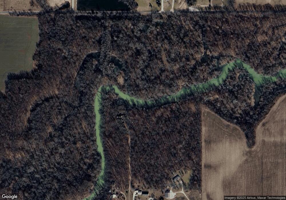
18697 Road 156 Paulding, OH 45879
Estimated Value: $232,000 - $287,000
3
Beds
1
Bath
1,836
Sq Ft
$139/Sq Ft
Est. Value
About This Home
This home is located at 18697 Road 156, Paulding, OH 45879 and is currently estimated at $255,466, approximately $139 per square foot. 18697 Road 156 is a home located in Paulding County with nearby schools including Paulding High School.
Ownership History
Date
Name
Owned For
Owner Type
Purchase Details
Closed on
Apr 29, 2011
Sold by
Fannie Mae
Bought by
Manz Alan J
Current Estimated Value
Home Financials for this Owner
Home Financials are based on the most recent Mortgage that was taken out on this home.
Original Mortgage
$51,000
Outstanding Balance
$19,748
Interest Rate
6.04%
Mortgage Type
New Conventional
Estimated Equity
$235,718
Purchase Details
Closed on
Dec 2, 2010
Sold by
Theis Robert J and The State Bank And Trust Co
Bought by
Federal National Mortgage Association
Purchase Details
Closed on
Sep 11, 1997
Bought by
Manz Alan J
Create a Home Valuation Report for This Property
The Home Valuation Report is an in-depth analysis detailing your home's value as well as a comparison with similar homes in the area
Purchase History
| Date | Buyer | Sale Price | Title Company |
|---|---|---|---|
| Manz Alan J | $68,000 | Omega Title Agency Llc | |
| Federal National Mortgage Association | $69,000 | None Available | |
| Manz Alan J | $43,000 | -- |
Source: Public Records
Mortgage History
| Date | Status | Borrower | Loan Amount |
|---|---|---|---|
| Open | Manz Alan J | $51,000 |
Source: Public Records
Tax History
| Year | Tax Paid | Tax Assessment Tax Assessment Total Assessment is a certain percentage of the fair market value that is determined by local assessors to be the total taxable value of land and additions on the property. | Land | Improvement |
|---|---|---|---|---|
| 2025 | $809 | $32,700 | $18,870 | $13,830 |
| 2024 | $809 | $49,010 | $14,600 | $34,410 |
| 2023 | $774 | $49,010 | $14,600 | $34,410 |
| 2022 | $1,454 | $49,010 | $14,600 | $34,410 |
| 2021 | $1,354 | $42,770 | $14,070 | $28,700 |
| 2020 | $1,420 | $42,770 | $14,070 | $28,700 |
| 2019 | $1,440 | $34,130 | $11,830 | $22,300 |
| 2018 | $1,182 | $34,130 | $11,830 | $22,300 |
| 2017 | $1,183 | $34,130 | $11,830 | $22,300 |
| 2016 | $1,183 | $34,130 | $11,830 | $22,300 |
| 2015 | $1,193 | $35,670 | $12,710 | $22,960 |
| 2014 | $1,186 | $35,670 | $12,710 | $22,960 |
| 2013 | $1,233 | $35,490 | $12,530 | $22,960 |
Source: Public Records
Map
Nearby Homes
- 14364 Road 171
- 14817 Road 171
- 12288 Road 179
- 18740 County Road 218
- 18920 County Road 218
- 17341 Road 139
- 22585 Defiance-Paulding County Line Rd
- 14255 Road 126
- 13688 Kay St
- 14309 Singer Rd
- 1065 Emerald Rd
- 741 Tom Tim Dr
- 23987 S State Route 66
- 701 E Wayne St
- 24220 County Road 196
- 742 E Perry St
- 726 N Main St
- 23235 Road 110
- 301 N Main St
- 308 N Main St
- 18637 Road 156
- 18401 Road 156
- 18551 Road 156
- 18609 Road 156
- 18221 Road 156
- 18133 Road 156
- 12625 Road 151
- 18025 Road 156
- 18112 Road 168
- 13351 County Road 163
- 18946 County Road 168
- 12847 State Route 637
- 13346 County Road 163
- 17972 Road 156
- 17868 Road 156
- 19286 Road 156
- 13769 County Road 147
- 17830 County Road 156
- 17830 Co Rd 156
- 12517 State Route 637
Your Personal Tour Guide
Ask me questions while you tour the home.
