186A Compo Rd S Westport, CT 06880
Westport Village NeighborhoodEstimated Value: $1,235,000 - $1,687,000
4
Beds
3
Baths
2,009
Sq Ft
$703/Sq Ft
Est. Value
About This Home
This home is located at 186A Compo Rd S, Westport, CT 06880 and is currently estimated at $1,411,562, approximately $702 per square foot. 186A Compo Rd S is a home located in Fairfield County with nearby schools including Saugatuck Elementary School, Bedford Middle School, and Staples High School.
Ownership History
Date
Name
Owned For
Owner Type
Purchase Details
Closed on
May 26, 2005
Sold by
Merryweather Mark I and Graves Sally Claire
Bought by
Parson Francis C and Parson Brinton T
Current Estimated Value
Home Financials for this Owner
Home Financials are based on the most recent Mortgage that was taken out on this home.
Original Mortgage
$450,000
Outstanding Balance
$217,170
Interest Rate
4.6%
Estimated Equity
$1,194,392
Purchase Details
Closed on
Sep 30, 1998
Sold by
Moeller Paul
Bought by
Merryweather Mary
Home Financials for this Owner
Home Financials are based on the most recent Mortgage that was taken out on this home.
Original Mortgage
$361,000
Interest Rate
6.89%
Create a Home Valuation Report for This Property
The Home Valuation Report is an in-depth analysis detailing your home's value as well as a comparison with similar homes in the area
Home Values in the Area
Average Home Value in this Area
Purchase History
| Date | Buyer | Sale Price | Title Company |
|---|---|---|---|
| Parson Francis C | $700,000 | -- | |
| Parson Francis C | $700,000 | -- | |
| Merryweather Mary | $380,000 | -- | |
| Merryweather Mary | $380,000 | -- |
Source: Public Records
Mortgage History
| Date | Status | Borrower | Loan Amount |
|---|---|---|---|
| Open | Merryweather Mary | $450,000 | |
| Closed | Merryweather Mary | $450,000 | |
| Previous Owner | Merryweather Mary | $350,000 | |
| Previous Owner | Merryweather Mary | $361,000 |
Source: Public Records
Tax History
| Year | Tax Paid | Tax Assessment Tax Assessment Total Assessment is a certain percentage of the fair market value that is determined by local assessors to be the total taxable value of land and additions on the property. | Land | Improvement |
|---|---|---|---|---|
| 2025 | $9,811 | $520,200 | $319,200 | $201,000 |
| 2024 | $9,686 | $520,200 | $319,200 | $201,000 |
| 2023 | $9,546 | $520,200 | $319,200 | $201,000 |
| 2022 | $9,400 | $520,200 | $319,200 | $201,000 |
| 2021 | $9,400 | $520,200 | $319,200 | $201,000 |
| 2020 | $9,294 | $556,200 | $337,200 | $219,000 |
| 2019 | $9,378 | $556,200 | $337,200 | $219,000 |
| 2018 | $9,378 | $556,200 | $337,200 | $219,000 |
| 2017 | $9,378 | $556,200 | $337,200 | $219,000 |
| 2016 | $9,378 | $556,200 | $337,200 | $219,000 |
| 2015 | $8,412 | $465,000 | $248,200 | $216,800 |
| 2014 | $8,342 | $465,000 | $248,200 | $216,800 |
Source: Public Records
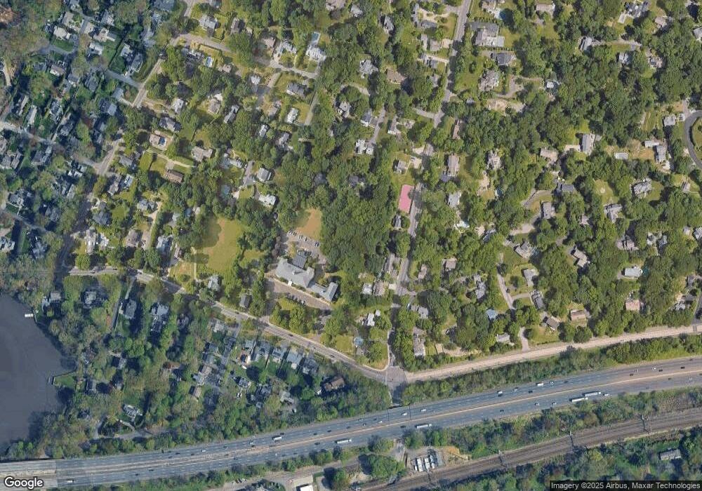
Map
Nearby Homes
- 23 Bridge St
- 5 Franklin Ave
- 3 Laurel Ln
- 32 Narrow Rocks Rd
- 31 Franklin St
- 11 Manitou Ct
- 29 Guyer Rd
- 26 Treadwell Ave
- 39 Compo Pkwy
- 24 Compo Pkwy
- 102 Compo Rd S
- 9 Pond Edge Rd
- 5 Over Rock Ln
- 79 Riverside Ave
- 11 Dogwood Ln
- 32 Edgewater Hillside
- 69 Grove Point
- 24 Edgemarth Hill Rd
- 123 Greens Farms Rd
- 14 Owenoke Park
- 186 Compo Rd S
- 35 Bridge St Unit 112
- 35 Bridge St Unit 201
- 35 Bridge St Unit 210
- 35 Bridge St Unit 113
- 35 Bridge St Unit 302
- 35 Bridge St Unit 214
- 35 Bridge St Unit 305
- 35 Bridge St Unit 102
- 35 Bridge St Unit 308
- 35 Bridge St
- 35 Bridge St Unit 101
- 35 Bridge St Unit 208
- 35 Bridge St Unit 110
- 35 Bridge St Unit 103
- 35 Bridge St Unit 104
- 35 Bridge St Unit 111
- 35 Bridge St Unit 107
- 35 Bridge St Unit 209
- 6 Pondside Dr