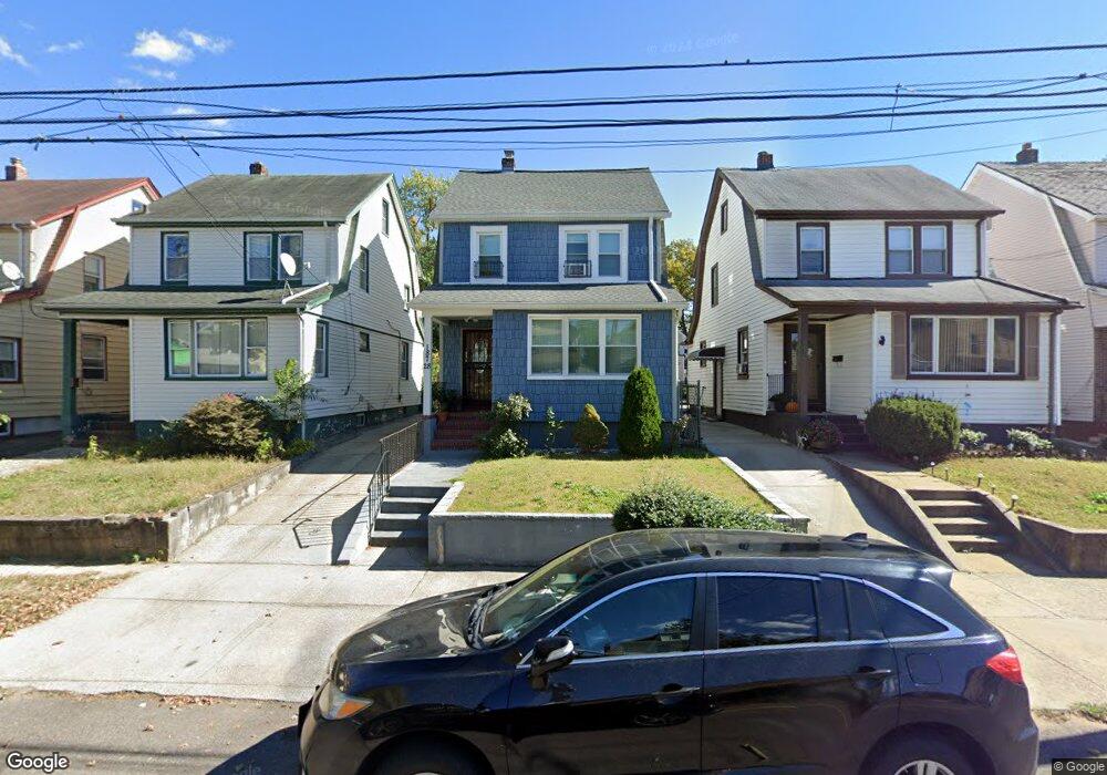
187-28 Mangin Ave Jamaica, NY 11412
Hollis NeighborhoodEstimated Value: $706,405 - $736,000
3
Beds
2
Baths
1,386
Sq Ft
$519/Sq Ft
Est. Value
About This Home
This home is located at 187-28 Mangin Ave, Jamaica, NY 11412 and is currently estimated at $719,851, approximately $519 per square foot. 187-28 Mangin Ave is a home located in Queens County with nearby schools including P.S. 118 Lorraine Hansberry, I.S. 192 The Linden, and Riverton Street Charter School.
Ownership History
Date
Name
Owned For
Owner Type
Purchase Details
Closed on
Mar 28, 2014
Sold by
Rosh Acquisition Llc
Bought by
Beale Patricia B and Page Kimberly
Current Estimated Value
Home Financials for this Owner
Home Financials are based on the most recent Mortgage that was taken out on this home.
Original Mortgage
$380,000
Interest Rate
3.59%
Mortgage Type
Purchase Money Mortgage
Purchase Details
Closed on
Mar 20, 2013
Sold by
Foster Evelyn
Bought by
Rosh Acquisition Llc
Create a Home Valuation Report for This Property
The Home Valuation Report is an in-depth analysis detailing your home's value as well as a comparison with similar homes in the area
Home Values in the Area
Average Home Value in this Area
Purchase History
| Date | Buyer | Sale Price | Title Company |
|---|---|---|---|
| Beale Patricia B | $400,000 | -- | |
| Rosh Acquisition Llc | $235,000 | -- |
Source: Public Records
Mortgage History
| Date | Status | Borrower | Loan Amount |
|---|---|---|---|
| Previous Owner | Beale Patricia B | $380,000 |
Source: Public Records
Tax History Compared to Growth
Tax History
| Year | Tax Paid | Tax Assessment Tax Assessment Total Assessment is a certain percentage of the fair market value that is determined by local assessors to be the total taxable value of land and additions on the property. | Land | Improvement |
|---|---|---|---|---|
| 2025 | $5,300 | $27,971 | $8,115 | $19,856 |
| 2024 | $5,300 | $26,388 | $7,328 | $19,060 |
| 2023 | $5,000 | $24,895 | $7,660 | $17,235 |
| 2022 | $4,689 | $38,520 | $11,280 | $27,240 |
| 2021 | $4,943 | $35,700 | $11,280 | $24,420 |
| 2020 | $4,934 | $35,820 | $11,280 | $24,540 |
| 2019 | $4,600 | $32,580 | $11,280 | $21,300 |
| 2018 | $4,229 | $20,746 | $8,424 | $12,322 |
| 2017 | $3,990 | $19,573 | $7,829 | $11,744 |
| 2016 | $3,913 | $19,573 | $7,829 | $11,744 |
| 2015 | $2,007 | $19,425 | $11,976 | $7,449 |
| 2014 | $2,007 | $18,326 | $12,044 | $6,282 |
Source: Public Records
Map
Nearby Homes
- 188-07 Mangin Ave
- 18823 Mangin Ave
- 188-25 Mangin Ave
- 18833 Keeseville Ave
- 187-44 Jordan Ave
- 186-16 Hilburn Ave
- 18908 114th Rd
- 188-45 Quencer Rd
- 188-31 Jordan Ave
- 111-06 Farmers Blvd
- 183-34 Fonda Ave
- 19022 111th Rd
- 179-07 Murdock Ave
- 11176 180th St
- 187-15 Tioga Dr
- 191-40 112th Rd
- 191-16 114th Rd
- 183-29 Brinkerhoff Ave
- 183-12 Elmira Ave
- 190-59 112th Ave
- 18728 Mangin Ave
- 18730 Mangin Ave
- 18726 Mangin Ave
- 18734 Mangin Ave
- 18734 Mangin Ave
- 18724 Mangin Ave
- 18736 Mangin Ave
- 18720 Mangin Ave
- 18740 Mangin Ave
- 18729 Keeseville Ave
- 18731 Keeseville Ave
- 18725 Keeseville Ave
- 18716 Mangin Ave
- 187-16 Mangin Ave
- 18735 Keeseville Ave
- 18719 Keeseville Ave
- 18731 Mangin Ave
- 18737 Keeseville Ave
- 18742 Mangin Ave