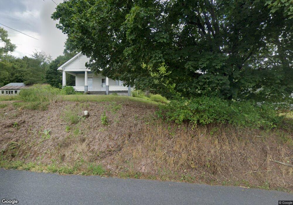
187 Airport Rd Shamokin, PA 17872
Estimated Value: $56,335 - $231,000
--
Bed
--
Bath
--
Sq Ft
0.47
Acres
About This Home
This home is located at 187 Airport Rd, Shamokin, PA 17872 and is currently estimated at $170,334. 187 Airport Rd is a home located in Northumberland County with nearby schools including Hartman Elementary Center, Southern Columbia Middle School, and Southern Columbia High School.
Ownership History
Date
Name
Owned For
Owner Type
Purchase Details
Closed on
Aug 15, 2006
Sold by
Peters United Church Of Christ St
Bought by
Hoffman Tina L
Current Estimated Value
Home Financials for this Owner
Home Financials are based on the most recent Mortgage that was taken out on this home.
Original Mortgage
$72,760
Outstanding Balance
$43,968
Interest Rate
6.88%
Mortgage Type
New Conventional
Estimated Equity
$126,366
Create a Home Valuation Report for This Property
The Home Valuation Report is an in-depth analysis detailing your home's value as well as a comparison with similar homes in the area
Home Values in the Area
Average Home Value in this Area
Purchase History
| Date | Buyer | Sale Price | Title Company |
|---|---|---|---|
| Hoffman Tina L | $68,000 | None Available |
Source: Public Records
Mortgage History
| Date | Status | Borrower | Loan Amount |
|---|---|---|---|
| Open | Hoffman Tina L | $72,760 |
Source: Public Records
Tax History Compared to Growth
Tax History
| Year | Tax Paid | Tax Assessment Tax Assessment Total Assessment is a certain percentage of the fair market value that is determined by local assessors to be the total taxable value of land and additions on the property. | Land | Improvement |
|---|---|---|---|---|
| 2025 | $1,565 | $13,250 | $2,540 | $10,710 |
| 2024 | $1,444 | $13,250 | $2,540 | $10,710 |
| 2023 | $1,444 | $13,250 | $2,540 | $10,710 |
| 2022 | $1,447 | $13,250 | $2,540 | $10,710 |
| 2021 | $1,415 | $13,250 | $2,540 | $10,710 |
| 2020 | $1,381 | $13,250 | $2,540 | $10,710 |
| 2019 | $1,346 | $13,250 | $2,540 | $10,710 |
| 2018 | $1,297 | $13,250 | $2,540 | $10,710 |
| 2017 | $1,197 | $13,250 | $2,540 | $10,710 |
| 2016 | -- | $13,250 | $2,540 | $10,710 |
| 2015 | -- | $13,250 | $2,540 | $10,710 |
| 2014 | -- | $13,250 | $2,540 | $10,710 |
Source: Public Records
Map
Nearby Homes
- 459 Overlook Blvd
- 0 Mountain Rd
- LOT 13 Oak Grove Rd
- 954 Center St
- 1100 Center St
- LOT 8 Mountain Rd
- 633 Center St
- 108 Center St
- 3101 Irish Valley Rd
- 925 N Orange St
- 1219 W Walnut St
- 1405 W Walnut St
- 1635 W Walnut St
- 221 E Cameron St
- 1950 W Independence St
- 29 E Sunbury St
- 127 E Sunbury St
- 1324 W Walnut St
- 233 W Sunbury St
- 1104 W Walnut St
- 197 Airport Rd
- 179 Airport Rd
- 209 Airport Rd
- 165 Airport Rd
- 9 S Harding Ave
- 221 Airport Rd
- 6 S Harding Ave
- 7 S Harding Ave
- 227 Airport Rd
- 31 Clinton Ave
- 439 Overlook Blvd
- 137 Airport Rd
- 243 Airport Rd
- 5 S Harding Ave
- 421 Overlook Blvd
- 138 Airport Rd
- 401 Overlook Blvd
- 409 Overlook Blvd
- 442 Overlook Blvd
- 491 Overlook Blvd