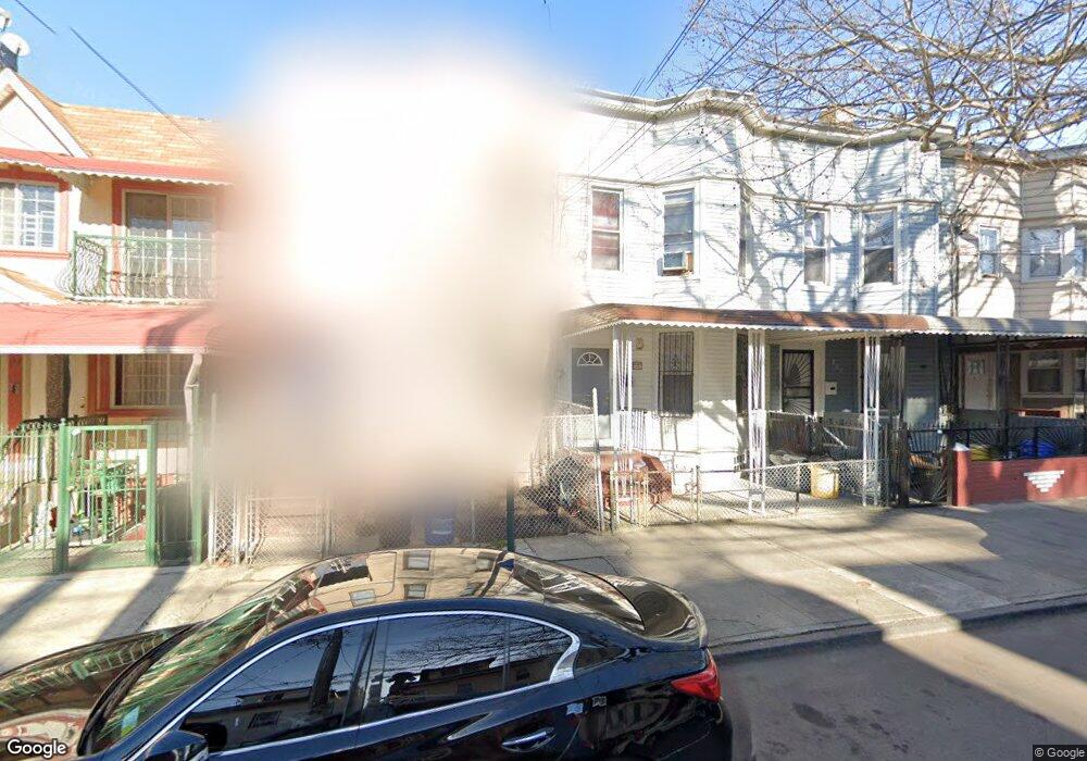
187 Ashford St Brooklyn, NY 11207
Cypress Hills NeighborhoodEstimated Value: $663,727 - $901,000
--
Bed
--
Bath
1,856
Sq Ft
$438/Sq Ft
Est. Value
About This Home
This home is located at 187 Ashford St, Brooklyn, NY 11207 and is currently estimated at $812,182, approximately $437 per square foot. 187 Ashford St is a home located in Kings County with nearby schools including P.S. 108 - Sal Abbracciamento, Liberty Avenue Middle School, and Vista Academy.
Ownership History
Date
Name
Owned For
Owner Type
Purchase Details
Closed on
Sep 12, 2002
Sold by
Sugar Equities Inc
Bought by
Komar Devendra
Current Estimated Value
Purchase Details
Closed on
Jun 24, 2002
Sold by
Wells Fargo Home Mortgag
Bought by
Sugar Equities Inc
Purchase Details
Closed on
May 10, 2001
Sold by
Veterans Affairs Adminis
Bought by
Wells Fargo Home Mortgag
Purchase Details
Closed on
Apr 29, 1999
Sold by
Crespo Carlos A and Norwest Mtg Inc
Bought by
Department Of Veterans Affairs
Create a Home Valuation Report for This Property
The Home Valuation Report is an in-depth analysis detailing your home's value as well as a comparison with similar homes in the area
Home Values in the Area
Average Home Value in this Area
Purchase History
| Date | Buyer | Sale Price | Title Company |
|---|---|---|---|
| Komar Devendra | -- | -- | |
| Sugar Equities Inc | -- | -- | |
| Wells Fargo Home Mortgag | -- | -- | |
| Department Of Veterans Affairs | $123,086 | -- |
Source: Public Records
Tax History Compared to Growth
Tax History
| Year | Tax Paid | Tax Assessment Tax Assessment Total Assessment is a certain percentage of the fair market value that is determined by local assessors to be the total taxable value of land and additions on the property. | Land | Improvement |
|---|---|---|---|---|
| 2025 | $4,295 | $45,540 | $9,480 | $36,060 |
| 2024 | $4,295 | $46,380 | $9,480 | $36,900 |
| 2023 | $4,081 | $40,980 | $9,480 | $31,500 |
| 2022 | $3,961 | $44,460 | $9,480 | $34,980 |
| 2021 | $3,934 | $40,380 | $9,480 | $30,900 |
| 2020 | $2,950 | $40,560 | $9,480 | $31,080 |
| 2019 | $3,679 | $36,180 | $9,480 | $26,700 |
| 2018 | $3,354 | $17,914 | $5,921 | $11,993 |
| 2017 | $3,315 | $17,733 | $7,093 | $10,640 |
| 2016 | $3,038 | $16,748 | $6,197 | $10,551 |
| 2015 | $1,798 | $16,744 | $6,944 | $9,800 |
| 2014 | $1,798 | $15,823 | $7,866 | $7,957 |
Source: Public Records
Map
Nearby Homes
- 206 Elton St
- 253 Ashford St
- 2880 Fulton St
- 221 Barbey St
- 126 Jerome St
- 168 Warwick St
- 278 Ashford St
- 599 Liberty Ave
- 597 Liberty Ave
- 203 Essex St
- 171 Arlington Ave
- 295 Ashford St
- 87 Schenck Ave
- 2830 Fulton St
- 196 Shepherd Ave
- 400 Linwood St
- 399 Linwood St
- 147 Essex St
- 283 Shepherd Ave
- 202 Schenck Ave
- 185 Ashford St
- 183 Ashford St
- 183 Ashford St
- 189 Ashford St
- 179 Ashford St
- 177 Ashford St
- 191 Ashford St
- 175 Ashford St
- 173 Ashford St
- 274 Cleveland St
- 272 Cleveland St
- 280 Cleveland St
- 270 Cleveland St
- 171 Ashford St
- 268 Cleveland St
- 268 Cleveland St Unit 2
- 2937 Atlantic Ave
- 266 Cleveland St
- 266 Cleveland St Unit 2
- 2941 Atlantic Ave