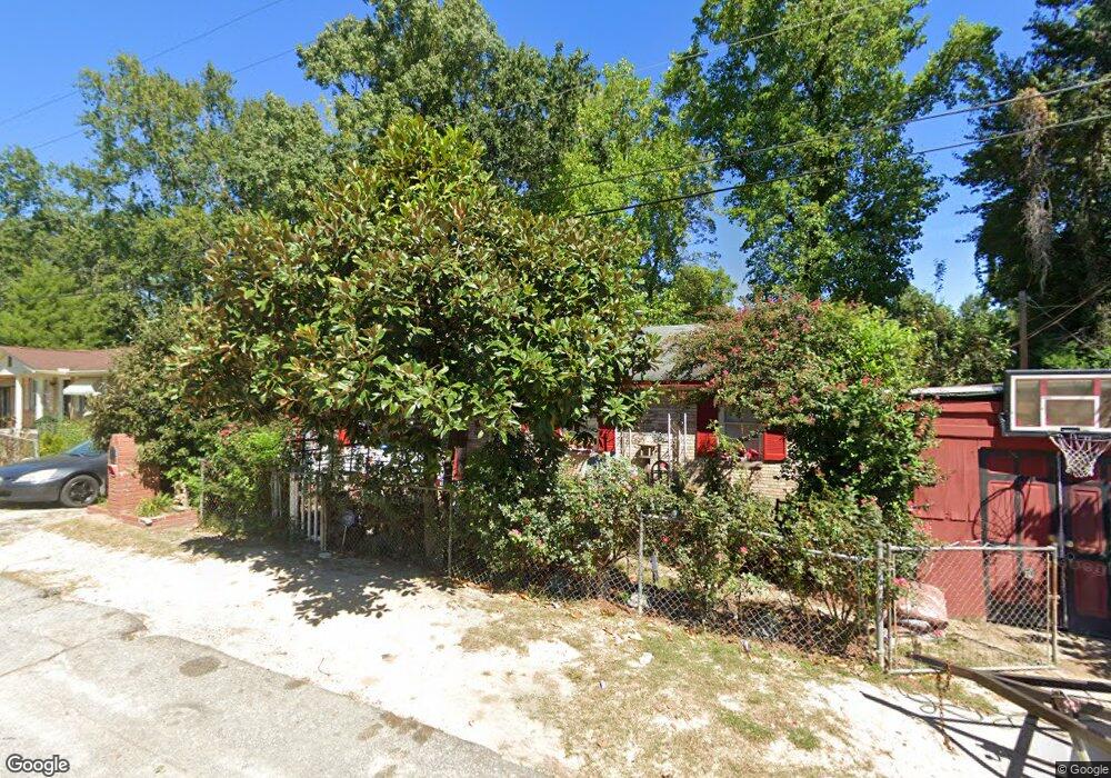
187 Aster Cir Columbia, SC 29201
Arthurtown NeighborhoodEstimated Value: $128,000 - $153,000
3
Beds
1
Bath
1,350
Sq Ft
$106/Sq Ft
Est. Value
About This Home
This home is located at 187 Aster Cir, Columbia, SC 29201 and is currently estimated at $143,676, approximately $106 per square foot. 187 Aster Cir is a home located in Richland County with nearby schools including South Kilbourne Elementary School, Hand Middle School, and Dreher High School.
Ownership History
Date
Name
Owned For
Owner Type
Purchase Details
Closed on
Dec 17, 2004
Sold by
Jacobs Thomas
Bought by
Bynum James
Current Estimated Value
Home Financials for this Owner
Home Financials are based on the most recent Mortgage that was taken out on this home.
Original Mortgage
$54,000
Outstanding Balance
$31,426
Interest Rate
8.25%
Mortgage Type
Purchase Money Mortgage
Estimated Equity
$112,250
Purchase Details
Closed on
May 7, 2004
Sold by
Deutsche Bank Trust Co Americas
Bought by
Jacobs Thomas
Purchase Details
Closed on
Nov 29, 2002
Sold by
Reese Nathaniel
Bought by
Bankers Trust Co
Create a Home Valuation Report for This Property
The Home Valuation Report is an in-depth analysis detailing your home's value as well as a comparison with similar homes in the area
Home Values in the Area
Average Home Value in this Area
Purchase History
| Date | Buyer | Sale Price | Title Company |
|---|---|---|---|
| Bynum James | $67,500 | -- | |
| Jacobs Thomas | $19,900 | -- | |
| Bankers Trust Co | $39,231 | -- |
Source: Public Records
Mortgage History
| Date | Status | Borrower | Loan Amount |
|---|---|---|---|
| Open | Bynum James | $54,000 |
Source: Public Records
Tax History Compared to Growth
Tax History
| Year | Tax Paid | Tax Assessment Tax Assessment Total Assessment is a certain percentage of the fair market value that is determined by local assessors to be the total taxable value of land and additions on the property. | Land | Improvement |
|---|---|---|---|---|
| 2024 | $679 | $46,600 | $0 | $0 |
| 2023 | $679 | $1,620 | $0 | $0 |
| 2022 | $617 | $40,500 | $5,000 | $35,500 |
| 2021 | $598 | $1,620 | $0 | $0 |
| 2020 | $604 | $1,620 | $0 | $0 |
| 2019 | $571 | $1,620 | $0 | $0 |
| 2018 | $526 | $1,540 | $0 | $0 |
| 2017 | $518 | $1,540 | $0 | $0 |
| 2016 | $517 | $1,540 | $0 | $0 |
| 2015 | $508 | $1,540 | $0 | $0 |
| 2014 | $498 | $38,400 | $0 | $0 |
| 2013 | -- | $1,540 | $0 | $0 |
Source: Public Records
Map
Nearby Homes
- 127 Aster Cir
- 0 Bluff Rd Unit 566798
- 1218 Walcott St
- 1213 Walcott St
- 1929 Bluff Rd Unit 49
- 1929 Bluff Rd Unit 193
- 1929 Bluff Rd Unit UNT96
- 1929 Bluff Rd Unit UNT66
- 1929 Bluff Rd Unit UNT70
- 1929 Bluff Rd Unit UNT65
- 1929 Bluff Rd Unit UNT126
- 1929 Bluff Rd Unit UNT26
- 1929 Bluff Rd Unit UNT25
- 1929 Bluff Rd Unit UNT44
- 1929 Bluff Rd Unit 148
- 1929 Bluff Rd Unit UNT123
- 1929 Bluff Rd Unit UNT24
- 1929 Bluff Rd Unit 151
- 1929 Bluff Rd Unit 181
- 3604 Hydrangea St