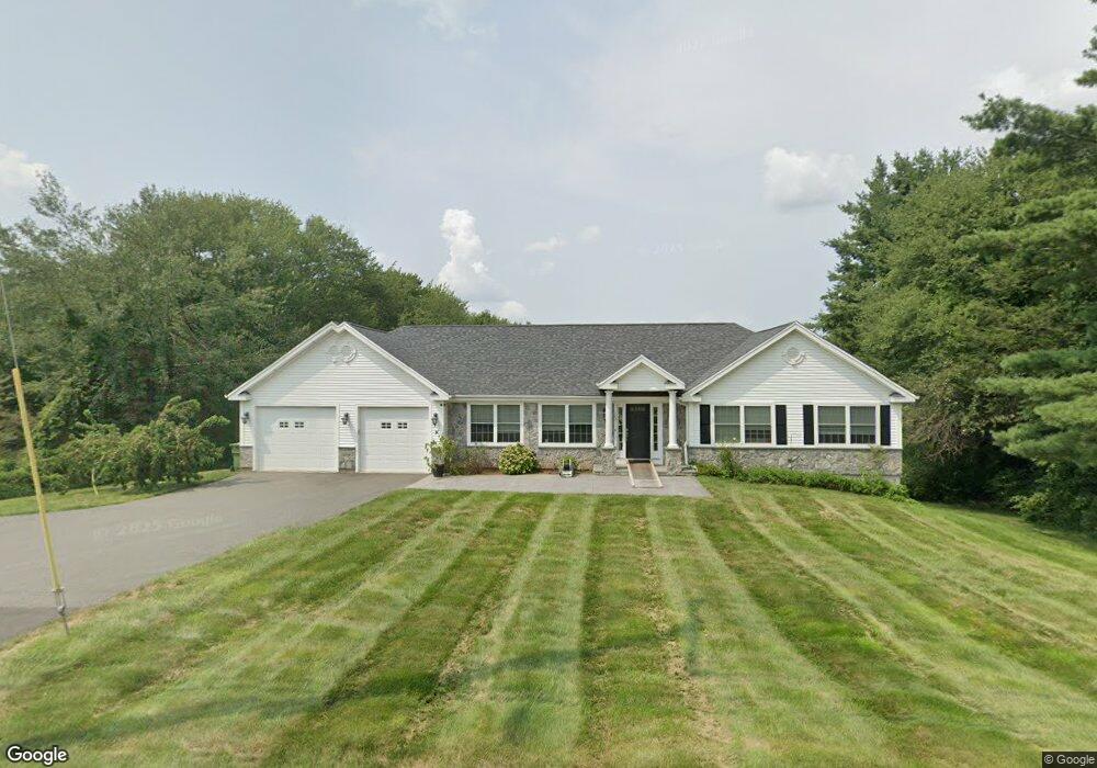
187 Coles Rd Cromwell, CT 06416
Estimated Value: $510,930 - $616,000
3
Beds
4
Baths
1,795
Sq Ft
$323/Sq Ft
Est. Value
About This Home
This home is located at 187 Coles Rd, Cromwell, CT 06416 and is currently estimated at $579,233, approximately $322 per square foot. 187 Coles Rd is a home located in Middlesex County with nearby schools including Edna C. Stevens School, Woodside Intermediate School, and Cromwell Middle School.
Ownership History
Date
Name
Owned For
Owner Type
Purchase Details
Closed on
Mar 30, 2020
Sold by
Tine Vincenza
Bought by
Calafiore Serafino
Current Estimated Value
Home Financials for this Owner
Home Financials are based on the most recent Mortgage that was taken out on this home.
Original Mortgage
$351,500
Outstanding Balance
$311,386
Interest Rate
3.4%
Mortgage Type
New Conventional
Estimated Equity
$267,847
Purchase Details
Closed on
Jul 5, 2018
Sold by
Tine Angelo
Bought by
Connecticut State Of
Home Financials for this Owner
Home Financials are based on the most recent Mortgage that was taken out on this home.
Original Mortgage
$45,160
Interest Rate
4.5%
Mortgage Type
Unknown
Purchase Details
Closed on
Dec 12, 1988
Sold by
Durkee Lance D
Bought by
Tine Angelo S
Create a Home Valuation Report for This Property
The Home Valuation Report is an in-depth analysis detailing your home's value as well as a comparison with similar homes in the area
Home Values in the Area
Average Home Value in this Area
Purchase History
| Date | Buyer | Sale Price | Title Company |
|---|---|---|---|
| Calafiore Serafino | $370,000 | None Available | |
| Calafiore Serafino | $370,000 | None Available | |
| Connecticut State Of | $4,850 | -- | |
| Connecticut State Of | $4,850 | -- | |
| Tine Angelo S | $190,000 | -- |
Source: Public Records
Mortgage History
| Date | Status | Borrower | Loan Amount |
|---|---|---|---|
| Open | Calafiore Serafino | $351,500 | |
| Closed | Calafiore Serafino | $351,500 | |
| Previous Owner | Tine Angelo S | $45,160 |
Source: Public Records
Tax History
| Year | Tax Paid | Tax Assessment Tax Assessment Total Assessment is a certain percentage of the fair market value that is determined by local assessors to be the total taxable value of land and additions on the property. | Land | Improvement |
|---|---|---|---|---|
| 2025 | $8,884 | $288,540 | $80,990 | $207,550 |
| 2024 | $8,676 | $288,540 | $80,990 | $207,550 |
| 2023 | $8,486 | $288,540 | $80,990 | $207,550 |
| 2022 | $6,962 | $208,880 | $74,270 | $134,610 |
| 2021 | $6,962 | $208,880 | $74,270 | $134,610 |
| 2020 | $6,858 | $208,880 | $74,270 | $134,610 |
| 2019 | $6,858 | $208,880 | $74,270 | $134,610 |
| 2018 | $6,977 | $212,520 | $74,270 | $138,250 |
| 2017 | $6,622 | $195,180 | $77,700 | $117,480 |
| 2016 | $6,564 | $195,180 | $77,700 | $117,480 |
| 2015 | $6,125 | $195,180 | $77,700 | $117,480 |
| 2014 | $6,496 | $195,180 | $77,700 | $117,480 |
Source: Public Records
Map
Nearby Homes
- 159 Evergreen Rd
- 23 Beecher Ln Unit 23
- 103 The Mews
- 53 Geer St
- 104 North Rd
- 30 Larkspur Dr
- 180 Skyview Dr Unit 180
- 8 Cortland Way
- 254 Sunset Ridge
- 34 Woodsboro Cir Unit 34
- 21 Hawthorn Ct Unit 21
- 234 Skyview Dr Unit 234
- 43 Sunridge Ln
- 16 Autumn Cir
- 147 Highland St
- 3 Avon Dale Rd Unit 3
- 1 Great Oak Ct
- 55 North Rd
- 11 Valley Run Dr Unit 11
- 9 Willow Ct
Your Personal Tour Guide
Ask me questions while you tour the home.