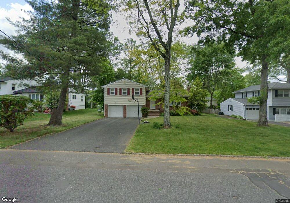
187 Commonwealth Ave New Providence, NJ 07974
Estimated Value: $851,974 - $1,037,000
Studio
--
Bath
1,978
Sq Ft
$499/Sq Ft
Est. Value
About This Home
This home is located at 187 Commonwealth Ave, New Providence, NJ 07974 and is currently estimated at $986,494, approximately $498 per square foot. 187 Commonwealth Ave is a home located in Union County with nearby schools including New Providence High School, The Academy of Our Lady of Peace, and Oak Knoll School of the Holy Child.
Ownership History
Date
Name
Owned For
Owner Type
Purchase Details
Closed on
Mar 16, 2001
Sold by
Duyckinck Lois R
Bought by
Mohl Alan S
Current Estimated Value
Home Financials for this Owner
Home Financials are based on the most recent Mortgage that was taken out on this home.
Original Mortgage
$168,000
Outstanding Balance
$60,762
Interest Rate
6.93%
Estimated Equity
$925,732
Purchase Details
Closed on
May 28, 1999
Sold by
Duyckinck Robert W and Duyckinck Lois R
Bought by
Duyckinck Lois R
Create a Home Valuation Report for This Property
The Home Valuation Report is an in-depth analysis detailing your home's value as well as a comparison with similar homes in the area
Home Values in the Area
Average Home Value in this Area
Purchase History
| Date | Buyer | Sale Price | Title Company |
|---|---|---|---|
| Mohl Alan S | $368,000 | -- | |
| Duyckinck Lois R | -- | -- |
Source: Public Records
Mortgage History
| Date | Status | Borrower | Loan Amount |
|---|---|---|---|
| Open | Mohl Alan S | $168,000 |
Source: Public Records
Tax History
| Year | Tax Paid | Tax Assessment Tax Assessment Total Assessment is a certain percentage of the fair market value that is determined by local assessors to be the total taxable value of land and additions on the property. | Land | Improvement |
|---|---|---|---|---|
| 2025 | $15,579 | $301,800 | $145,000 | $156,800 |
| 2024 | $15,111 | $301,800 | $145,000 | $156,800 |
| 2023 | $15,111 | $301,800 | $145,000 | $156,800 |
| 2022 | $14,903 | $301,800 | $145,000 | $156,800 |
| 2021 | $14,794 | $301,800 | $145,000 | $156,800 |
| 2020 | $14,788 | $301,800 | $145,000 | $156,800 |
| 2019 | $14,698 | $301,800 | $145,000 | $156,800 |
| 2018 | $14,622 | $301,800 | $145,000 | $156,800 |
| 2017 | $14,384 | $301,800 | $145,000 | $156,800 |
| 2016 | $14,182 | $301,800 | $145,000 | $156,800 |
| 2015 | $13,985 | $301,800 | $145,000 | $156,800 |
| 2014 | $13,774 | $301,800 | $145,000 | $156,800 |
Source: Public Records
Map
Nearby Homes
- 100 Commonwealth Ave
- 76 Pine Way
- 77 Commonwealth Ave
- 297 Elkwood Ave
- 47 Clinton Ave
- 10C Heritage Dr Unit C
- 240 Riveredge Dr
- 19I Heritage Dr Unit I
- 19C Heritage Dr
- 20C Heritage Dr Unit C
- 5G Terrace Dr
- 18H Heritage Dr Unit H
- 2H Heritage Dr Unit H
- 50 Livingston Ave
- 22C Heritage Dr Unit C
- 2F Terrace Dr Unit F
- 418 River Rd
- 32 Charnwood Rd
- 107 Pleasantview Ave
- 18F Manchester Ct Unit F
- 195 Commonwealth Ave
- 181 Commonwealth Ave
- 147 Madison Ave
- 183 Elkwood Ave
- 191 Elkwood Ave
- 186 Commonwealth Ave
- 169 Commonwealth Ave
- 139 Madison Ave
- 180 Commonwealth Ave
- 194 Commonwealth Ave
- 175 Elkwood Ave
- 209 Commonwealth Ave
- 200 Commonwealth Ave
- 26 Hedden Place
- 172 Commonwealth Ave
- 6 Woodbine Cir
- 163 Commonwealth Ave
- 20 Hedden Place
- 219 Commonwealth Ave
- 78 Woodbine Cir
Your Personal Tour Guide
Ask me questions while you tour the home.