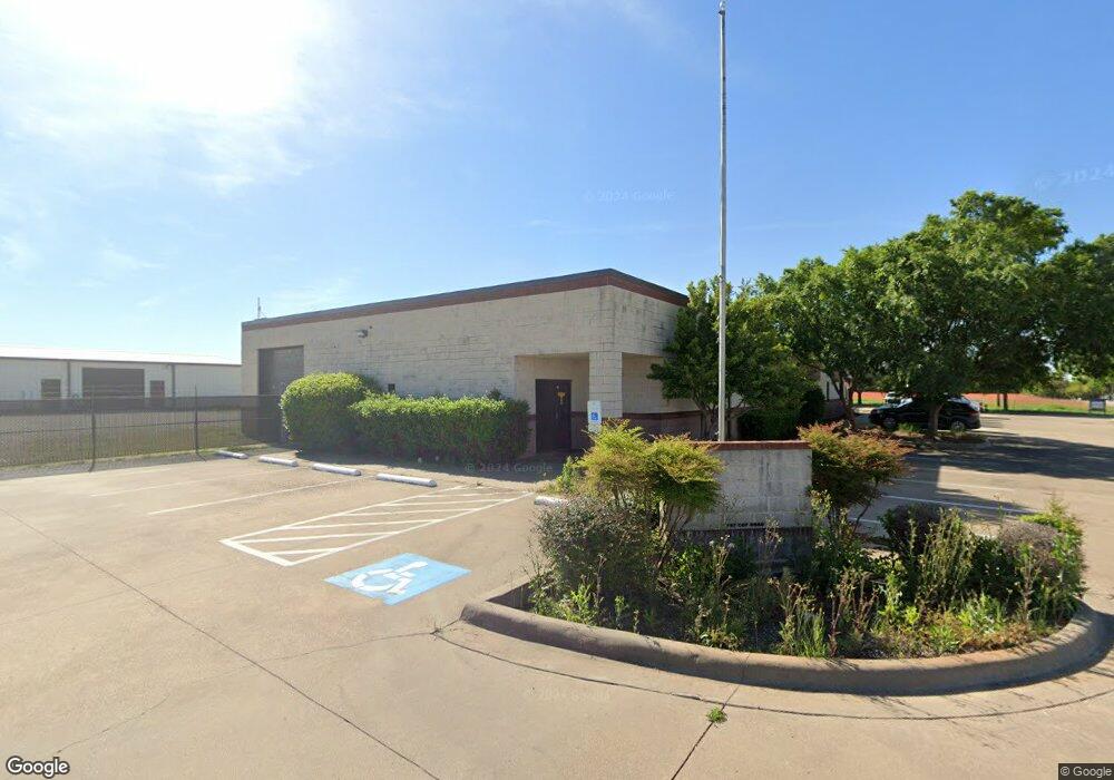
187 Coy Rd Weatherford, TX 76087
Estimated Value: $806,125
--
Bed
--
Bath
8,063
Sq Ft
$100/Sq Ft
Est. Value
About This Home
This home is located at 187 Coy Rd, Weatherford, TX 76087 and is currently estimated at $806,125, approximately $99 per square foot. 187 Coy Rd is a home located in Parker County with nearby schools including Brock Intermediate School, Brock Junior High School, and Brock High School.
Ownership History
Date
Name
Owned For
Owner Type
Purchase Details
Closed on
Jul 3, 2019
Sold by
Lank Buildings Llc
Bought by
Jdjs Investments Inc
Current Estimated Value
Purchase Details
Closed on
May 16, 2014
Sold by
Lank Bryan C and Lank Jill R
Bought by
Lank Buildings Llc
Purchase Details
Closed on
Sep 6, 2006
Bought by
Lank Buildings Llc
Purchase Details
Closed on
Sep 5, 2006
Sold by
Jdjh Enterprises A Tex Gen Prtnrshp
Bought by
Lank Buildings Llc
Purchase Details
Closed on
May 15, 2001
Sold by
Imperial Construction Inc
Bought by
Lank Buildings Llc
Purchase Details
Closed on
Oct 20, 2000
Sold by
Ingram D L
Bought by
Lank Buildings Llc
Create a Home Valuation Report for This Property
The Home Valuation Report is an in-depth analysis detailing your home's value as well as a comparison with similar homes in the area
Home Values in the Area
Average Home Value in this Area
Purchase History
| Date | Buyer | Sale Price | Title Company |
|---|---|---|---|
| Jdjs Investments Inc | -- | Providence Title Company | |
| Lank Buildings Llc | -- | None Available | |
| Lank Buildings Llc | -- | -- | |
| Lank Buildings Llc | -- | -- | |
| Lank Buildings Llc | -- | -- | |
| Lank Buildings Llc | -- | -- |
Source: Public Records
Tax History Compared to Growth
Tax History
| Year | Tax Paid | Tax Assessment Tax Assessment Total Assessment is a certain percentage of the fair market value that is determined by local assessors to be the total taxable value of land and additions on the property. | Land | Improvement |
|---|---|---|---|---|
| 2025 | $12,208 | $650,000 | $130,680 | $519,320 |
| 2024 | $12,208 | $568,205 | $65,340 | $502,865 |
| 2023 | $12,208 | $568,205 | $65,340 | $502,865 |
| 2022 | $12,405 | $519,790 | $65,340 | $454,450 |
| 2021 | $13,088 | $519,790 | $65,340 | $454,450 |
| 2020 | $12,502 | $487,000 | $65,340 | $421,660 |
| 2019 | $13,269 | $487,000 | $65,340 | $421,660 |
| 2018 | $12,682 | $464,350 | $65,340 | $399,010 |
| 2017 | $10,683 | $464,350 | $65,340 | $399,010 |
| 2016 | $10,653 | $463,060 | $65,340 | $397,720 |
| 2015 | $10,517 | $463,060 | $65,340 | $397,720 |
| 2014 | $10,375 | $455,140 | $65,340 | $389,800 |
Source: Public Records
Map
Nearby Homes
- 111 Diamond Ridge Ln
- TBD Diamond Ridge Ln
- 112 Tigers Eye Ct
- 2045 Eagles Ridge Dr
- 2894 Ranger Hwy
- 2800 Ranger Hwy
- 3180 Old Brock Rd
- 330 Pack Saddle Ct
- 169 Pack Saddle Trail
- 177 Pack Saddle Trail
- TBD Old Brock Rd
- 305 Wrangler Ct
- 313 Wrangler Ct
- 4600 Old Brock Rd
- 121 Desperado Way
- 143 Desperado Way
- 124 Desperado Way
- 142 Wood Oak Trail
- 3380 Westridge Dr Unit B
- 3380 Westridge Dr
- 187 Coy Rd Unit sale
- 187 Coy Rd Unit 1
- 193 Coy Rd
- 277 Coy Rd
- 1252 Eagles Bluff Dr
- 310 Coy Rd
- 158 Hunters Cir
- 2901 W Interstate 20
- 2901 W I20 Fwy
- 100 Deep Wood Ln
- 2901 W I 20
- 104 Deep Wood Ln
- 150 Hunters Cir
- 11 Falcons Eye Ct
- 12 Falcons Eye Ct
- 14 Falcons Eye Ct
- 108 Deep Wood Ln
- 146 Hunters Cir
- 312 Coy Rd
- 112 Deep Wood Ln