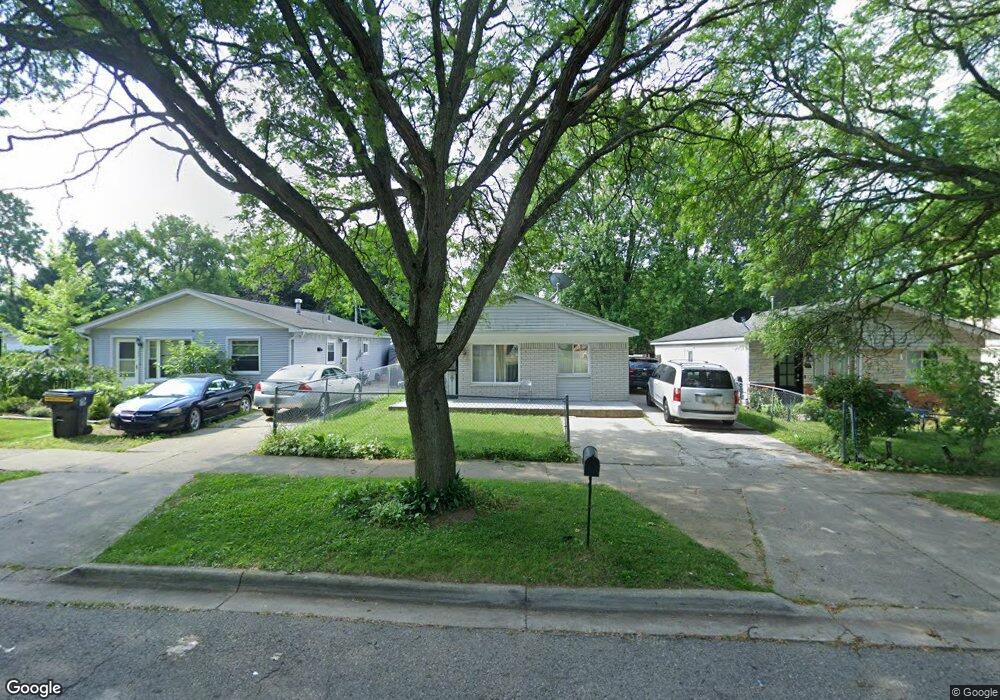
187 Dearborn Rd Pontiac, MI 48340
Estimated Value: $132,000 - $142,000
3
Beds
1
Bath
1,109
Sq Ft
$122/Sq Ft
Est. Value
About This Home
This home is located at 187 Dearborn Rd, Pontiac, MI 48340 and is currently estimated at $135,302, approximately $122 per square foot. 187 Dearborn Rd is a home located in Oakland County with nearby schools including Alcott School, Pontiac Middle School, and Pontiac High School.
Ownership History
Date
Name
Owned For
Owner Type
Purchase Details
Closed on
Nov 23, 2004
Sold by
Bell L C
Bought by
Bell L C
Current Estimated Value
Home Financials for this Owner
Home Financials are based on the most recent Mortgage that was taken out on this home.
Original Mortgage
$91,800
Outstanding Balance
$50,803
Interest Rate
7.45%
Mortgage Type
New Conventional
Estimated Equity
$84,499
Purchase Details
Closed on
Jul 10, 2000
Sold by
Bell L C
Bought by
Bell L C
Home Financials for this Owner
Home Financials are based on the most recent Mortgage that was taken out on this home.
Original Mortgage
$52,500
Interest Rate
8.55%
Create a Home Valuation Report for This Property
The Home Valuation Report is an in-depth analysis detailing your home's value as well as a comparison with similar homes in the area
Home Values in the Area
Average Home Value in this Area
Purchase History
| Date | Buyer | Sale Price | Title Company |
|---|---|---|---|
| Bell L C | -- | Clearly Title | |
| Bell L C | -- | -- |
Source: Public Records
Mortgage History
| Date | Status | Borrower | Loan Amount |
|---|---|---|---|
| Open | Bell L C | $91,800 | |
| Closed | Bell L C | $52,500 |
Source: Public Records
Tax History Compared to Growth
Tax History
| Year | Tax Paid | Tax Assessment Tax Assessment Total Assessment is a certain percentage of the fair market value that is determined by local assessors to be the total taxable value of land and additions on the property. | Land | Improvement |
|---|---|---|---|---|
| 2024 | $625 | $41,350 | $0 | $0 |
| 2023 | $596 | $37,010 | $0 | $0 |
| 2022 | $642 | $33,140 | $0 | $0 |
| 2021 | $625 | $28,790 | $0 | $0 |
| 2020 | $810 | $25,490 | $0 | $0 |
| 2019 | $863 | $22,270 | $0 | $0 |
| 2018 | $827 | $18,150 | $0 | $0 |
| 2017 | $795 | $17,340 | $0 | $0 |
| 2016 | $570 | $15,280 | $0 | $0 |
| 2015 | -- | $14,900 | $0 | $0 |
| 2014 | -- | $14,230 | $0 | $0 |
| 2011 | -- | $17,760 | $0 | $0 |
Source: Public Records
Map
Nearby Homes
- 201 Parkdale Ave
- 137 Dresden Ave
- 119 W Kennett Rd
- 998 Dewey St
- 109 W Kennett Rd
- 255 W Rutgers Ave
- 32 N Merrimac St
- 33 W Beverly Ave
- 1017 Cherrylawn Dr
- 240 W Fairmount Ave
- 134 W Fairmount Ave
- 207 W Strathmore Ave
- 0000 Blaine Ave
- 117 W Strathmore Ave
- 112 W Strathmore Ave
- 1153 Stanley Ave
- 1123 Cherrylawn Dr
- 18 E 18 E Rutgers Ave
- 686 Lounsbury Ave
- 841 Orlando Ave
- 183 Dearborn Rd
- 191 Dearborn Rd
- 195 Dearborn Rd
- 201 Dearborn Rd
- 184 Dresden Ave
- 196 Dresden Ave
- 175 Dearborn Rd
- 205 Dearborn Rd
- 204 Dresden Ave
- 176 Dresden Ave
- 209 Dearborn Rd
- 168 Dresden Ave
- 214 Dresden Ave
- 163 Dearborn Rd
- 164 Dresden Ave
- 195 W Kennett Rd
- 195 W Kennett Rd Unit 212
- 216 Dresden Ave Unit Bldg-Unit
- 187 Dresden Ave
- 914 Woodland Ave