187 Dorning Rd Winlock, WA 98596
Estimated Value: $423,000 - $781,000
3
Beds
2
Baths
1,536
Sq Ft
$405/Sq Ft
Est. Value
About This Home
This home is located at 187 Dorning Rd, Winlock, WA 98596 and is currently estimated at $621,333, approximately $404 per square foot. 187 Dorning Rd is a home located in Lewis County with nearby schools including Winlock Miller Elementary School, Winolequa Learning Academy, and Winlock Middle School.
Ownership History
Date
Name
Owned For
Owner Type
Purchase Details
Closed on
Dec 21, 2020
Sold by
Carson Christopher Aaron
Bought by
Carson Tammy Lynn
Current Estimated Value
Purchase Details
Closed on
Jul 7, 2005
Sold by
Wells Fargo Bank Na
Bought by
Gerrits Howard G and Gerrits Kelly L
Home Financials for this Owner
Home Financials are based on the most recent Mortgage that was taken out on this home.
Original Mortgage
$144,000
Interest Rate
5.48%
Mortgage Type
New Conventional
Purchase Details
Closed on
Dec 27, 2004
Sold by
Russell William S
Bought by
Wells Fargo Bank Na and Wells Fargo Bank Minnesota Na
Create a Home Valuation Report for This Property
The Home Valuation Report is an in-depth analysis detailing your home's value as well as a comparison with similar homes in the area
Purchase History
| Date | Buyer | Sale Price | Title Company |
|---|---|---|---|
| Carson Tammy Lynn | -- | None Available | |
| Gerrits Howard G | -- | None Available | |
| Wells Fargo Bank Na | $18,000 | Lewis County Title Co |
Source: Public Records
Mortgage History
| Date | Status | Borrower | Loan Amount |
|---|---|---|---|
| Previous Owner | Gerrits Howard G | $144,000 |
Source: Public Records
Tax History
| Year | Tax Paid | Tax Assessment Tax Assessment Total Assessment is a certain percentage of the fair market value that is determined by local assessors to be the total taxable value of land and additions on the property. | Land | Improvement |
|---|---|---|---|---|
| 2024 | $4,945 | $688,400 | $102,700 | $585,700 |
| 2023 | $4,806 | $644,900 | $83,900 | $561,000 |
| 2022 | $4,637 | $499,400 | $66,000 | $433,400 |
| 2021 | $4,328 | $499,400 | $66,000 | $433,400 |
| 2020 | $3,257 | $425,700 | $57,600 | $368,100 |
| 2019 | $3,123 | $298,700 | $57,600 | $241,100 |
| 2018 | $2,995 | $276,800 | $50,500 | $226,300 |
| 2017 | $2,722 | $243,700 | $50,500 | $193,200 |
Source: Public Records
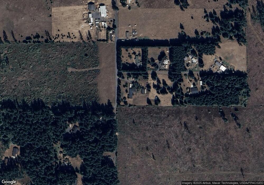
Map
Nearby Homes
- 112 Topaz Ct
- 126 Bethany Ln
- 380 Hawkins Rd
- 450 Hawkins Rd
- 457 Antrim Rd
- 113 Garden Ln
- 105 Johnson Rd N
- 564 W Avery Rd
- 527 Tennessee Rd
- 133 Silverthistle Rd
- 131 Silverthistle Rd
- 313 Minkler Rd
- 108 Timberline Ln
- 112 Timberline Ln
- 118 Quary Ln
- 213 Nelson Rd
- 1015 Peach Rd
- 501 Pagget Ave
- 284 W Hale Rd
- 2768 Highway 603
- 126 Chilkoot Dr
- 125 Chilkoot Dr
- 166 Dorning Rd
- 157 Dorning Rd
- 200 Dorning Rd Unit 15
- 200 Dorning Rd
- 200 Dorning Rd Unit 60
- 135 Dorning Rd
- 131 Weyers Ln
- 135 C Dorning Rd
- 135 A Dorning Rd
- 135 B Dorning Rd
- 100 Iris Ln
- 114 Iris Ln
- 120 Iris Ln
- 140 Vineyard Ln
- 135 Weyers Ln
- 200-60 Dorning Rd
- 144 Bethany Ln
- 125 Dorning Rd
Your Personal Tour Guide
Ask me questions while you tour the home.