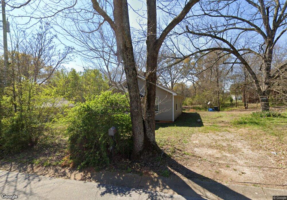
187 Duncan Cir Commerce, GA 30529
Commerce Township Downtown NeighborhoodEstimated Value: $143,091 - $233,000
--
Bed
1
Bath
742
Sq Ft
$241/Sq Ft
Est. Value
About This Home
This home is located at 187 Duncan Cir, Commerce, GA 30529 and is currently estimated at $178,523, approximately $240 per square foot. 187 Duncan Cir is a home located in Jackson County with nearby schools including Commerce Primary School, Commerce Elementary School, and Commerce Middle School.
Ownership History
Date
Name
Owned For
Owner Type
Purchase Details
Closed on
Aug 22, 2012
Sold by
Wood Barbara Ann
Bought by
Copeland Keo and Rakestraw Tiffany
Current Estimated Value
Purchase Details
Closed on
Sep 24, 2007
Sold by
Not Provided
Bought by
Wood Barbara Ann
Purchase Details
Closed on
Apr 8, 1996
Bought by
Nowell Cleve
Create a Home Valuation Report for This Property
The Home Valuation Report is an in-depth analysis detailing your home's value as well as a comparison with similar homes in the area
Home Values in the Area
Average Home Value in this Area
Purchase History
| Date | Buyer | Sale Price | Title Company |
|---|---|---|---|
| Copeland Keo | -- | -- | |
| Wood Barbara Ann | -- | -- | |
| Nowell Cleve | -- | -- |
Source: Public Records
Tax History Compared to Growth
Tax History
| Year | Tax Paid | Tax Assessment Tax Assessment Total Assessment is a certain percentage of the fair market value that is determined by local assessors to be the total taxable value of land and additions on the property. | Land | Improvement |
|---|---|---|---|---|
| 2024 | $762 | $27,600 | $2,240 | $25,360 |
| 2023 | $762 | $24,280 | $2,240 | $22,040 |
| 2022 | $623 | $19,200 | $1,480 | $17,720 |
| 2021 | $621 | $19,200 | $1,480 | $17,720 |
| 2020 | $577 | $15,920 | $1,480 | $14,440 |
| 2019 | $585 | $15,920 | $1,480 | $14,440 |
| 2018 | $560 | $15,360 | $1,480 | $13,880 |
| 2017 | $571 | $15,394 | $1,500 | $13,894 |
| 2016 | $487 | $13,074 | $1,320 | $11,754 |
| 2015 | $498 | $13,074 | $1,320 | $11,754 |
| 2014 | $391 | $10,178 | $1,320 | $8,858 |
| 2013 | -- | $10,763 | $1,320 | $9,443 |
Source: Public Records
Map
Nearby Homes
- 171 Duncan Cir
- 122 Duncan St
- 135 Duncan Cir
- 188 Duncan Cir
- 170 Duncan Cir
- 115 Duncan Cir
- 48 Duncan Cir
- 107 Duncan St
- 101 Duncan St
- 92 Duncan St
- 0 Duncan St Unit 7273505
- 249 Duncan Cir
- 87 Duncan St
- 73 Duncan Cir
- 267 Duncan Cir
- 0 Duncan Cir Unit 7266970
- 0 Duncan Cir Unit 8559902
- 0 Duncan Cir Unit 8091239
- 0 Duncan Cir Unit 8643788
- 0 Duncan Cir Unit 8548614