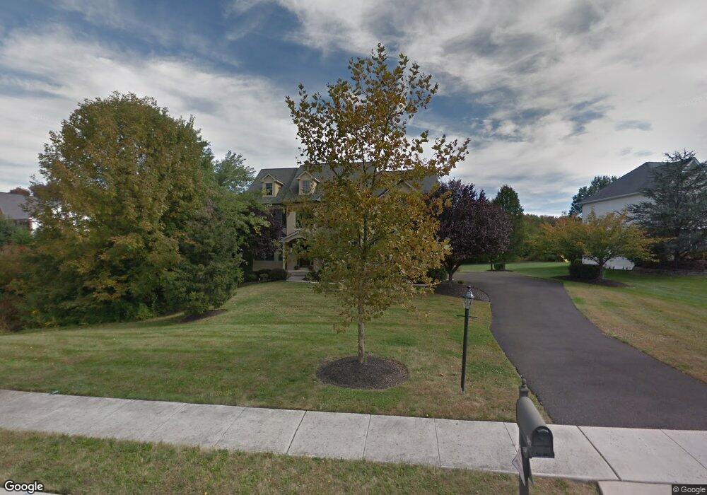
187 Fairway Rd Ambler, PA 19002
Estimated Value: $1,058,861 - $1,321,000
4
Beds
3
Baths
3,575
Sq Ft
$323/Sq Ft
Est. Value
About This Home
This home is located at 187 Fairway Rd, Ambler, PA 19002 and is currently estimated at $1,155,465, approximately $323 per square foot. 187 Fairway Rd is a home located in Montgomery County with nearby schools including Simmons Elementary School, Keith Valley Middle School, and Hatboro-Horsham Senior High School.
Ownership History
Date
Name
Owned For
Owner Type
Purchase Details
Closed on
Oct 31, 2003
Sold by
Bauersmith Robert J
Bought by
Suevo Paul and Suevo Theresa A
Current Estimated Value
Home Financials for this Owner
Home Financials are based on the most recent Mortgage that was taken out on this home.
Original Mortgage
$430,000
Interest Rate
5.81%
Purchase Details
Closed on
May 2, 2003
Sold by
Paone S Inc
Bought by
Bauersmith Robert J
Create a Home Valuation Report for This Property
The Home Valuation Report is an in-depth analysis detailing your home's value as well as a comparison with similar homes in the area
Home Values in the Area
Average Home Value in this Area
Purchase History
| Date | Buyer | Sale Price | Title Company |
|---|---|---|---|
| Suevo Paul | $630,000 | -- | |
| Bauersmith Robert J | -- | -- |
Source: Public Records
Mortgage History
| Date | Status | Borrower | Loan Amount |
|---|---|---|---|
| Open | Suevo Paul | $174,000 | |
| Previous Owner | Suevo Paul | $430,000 |
Source: Public Records
Tax History Compared to Growth
Tax History
| Year | Tax Paid | Tax Assessment Tax Assessment Total Assessment is a certain percentage of the fair market value that is determined by local assessors to be the total taxable value of land and additions on the property. | Land | Improvement |
|---|---|---|---|---|
| 2025 | $14,266 | $362,920 | $100,980 | $261,940 |
| 2024 | $14,266 | $362,920 | $100,980 | $261,940 |
| 2023 | $13,580 | $362,920 | $100,980 | $261,940 |
| 2022 | $13,139 | $362,920 | $100,980 | $261,940 |
| 2021 | $12,828 | $362,920 | $100,980 | $261,940 |
| 2020 | $12,525 | $362,920 | $100,980 | $261,940 |
| 2019 | $12,285 | $362,920 | $100,980 | $261,940 |
| 2018 | $10,147 | $362,920 | $100,980 | $261,940 |
| 2017 | $11,735 | $362,920 | $100,980 | $261,940 |
| 2016 | $11,594 | $362,920 | $100,980 | $261,940 |
| 2015 | $11,362 | $362,920 | $100,980 | $261,940 |
| 2014 | $11,073 | $362,920 | $100,980 | $261,940 |
Source: Public Records
Map
Nearby Homes
- 0000 Wythe Blvd
- 254 Nelson Dr
- 00 Wythe Blvd
- 0 Wythe Blvd
- 1170 Wythe Blvd
- 1188 Wythe Blvd Unit 102
- 218 Gerry Way Unit 247
- 210 Gerry Way Unit 251
- 216 Gerry Way Unit 248
- 214 Gerry Way Unit 249
- 210 Gerry Way
- 218 Gerry Way
- 214 Gerry Way
- Applebach Plan at Regency at Waterside - Providence Collection
- Ambler Plan at Regency at Waterside - Providence Collection
- Jarrett Plan at Regency at Waterside - Providence Collection
- Harriman Plan at Regency at Waterside - Providence Collection
- Chalfont Plan at Regency at Waterside - Union Collection
- Glen Ashton Plan at Regency at Waterside - Union Collection
- Casey Plan at Regency at Waterside - Union Collection