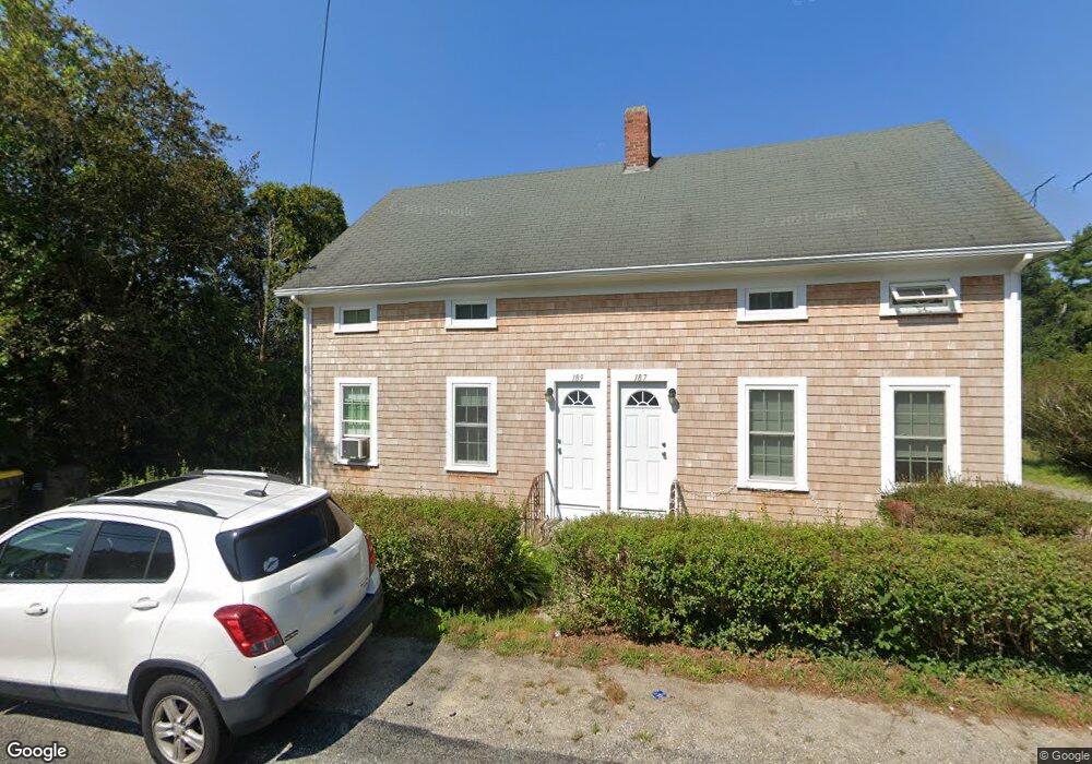
187 Forge Rd Unit 189 Westport, MA 02790
Estimated Value: $399,000 - $473,000
4
Beds
--
Bath
1,388
Sq Ft
$314/Sq Ft
Est. Value
About This Home
This home is located at 187 Forge Rd Unit 189, Westport, MA 02790 and is currently estimated at $435,660, approximately $313 per square foot. 187 Forge Rd Unit 189 is a home located in Bristol County with nearby schools including Alice A. Macomber Primary School, Westport Elementary School, and Westport Middle-High School.
Ownership History
Date
Name
Owned For
Owner Type
Purchase Details
Closed on
Aug 29, 2019
Sold by
Montour David
Bought by
Montour David and Montour Karen A
Current Estimated Value
Purchase Details
Closed on
Aug 16, 2019
Sold by
Maucione Lisa B
Bought by
Montour David
Purchase Details
Closed on
May 30, 2003
Sold by
Caufield Patricia
Bought by
Maucione Allan A and Maucione Lisa B
Home Financials for this Owner
Home Financials are based on the most recent Mortgage that was taken out on this home.
Original Mortgage
$120,000
Interest Rate
5.86%
Mortgage Type
Purchase Money Mortgage
Create a Home Valuation Report for This Property
The Home Valuation Report is an in-depth analysis detailing your home's value as well as a comparison with similar homes in the area
Home Values in the Area
Average Home Value in this Area
Purchase History
| Date | Buyer | Sale Price | Title Company |
|---|---|---|---|
| Montour David | -- | -- | |
| Montour David | $249,900 | -- | |
| Maucione Allan A | $35,000 | -- | |
| Maucione Allan A | $70,000 | -- |
Source: Public Records
Mortgage History
| Date | Status | Borrower | Loan Amount |
|---|---|---|---|
| Previous Owner | Maucione Allan A | $120,000 |
Source: Public Records
Tax History Compared to Growth
Tax History
| Year | Tax Paid | Tax Assessment Tax Assessment Total Assessment is a certain percentage of the fair market value that is determined by local assessors to be the total taxable value of land and additions on the property. | Land | Improvement |
|---|---|---|---|---|
| 2025 | $2,227 | $298,900 | $145,200 | $153,700 |
| 2024 | $2,219 | $287,000 | $134,500 | $152,500 |
| 2023 | $2,165 | $265,300 | $122,000 | $143,300 |
| 2022 | $2,047 | $241,400 | $115,900 | $125,500 |
| 2021 | $1,989 | $230,800 | $105,300 | $125,500 |
| 2020 | $1,693 | $200,800 | $95,800 | $105,000 |
| 2019 | $1,680 | $203,200 | $95,800 | $107,400 |
| 2018 | $1,583 | $193,700 | $107,500 | $86,200 |
| 2017 | $1,501 | $188,300 | $104,000 | $84,300 |
| 2016 | $1,463 | $184,900 | $100,600 | $84,300 |
| 2015 | $1,385 | $174,600 | $102,900 | $71,700 |
Source: Public Records
Map
Nearby Homes
- 96 Forge Rd
- 29 Union Ave
- 3 Roller Coaster Way Unit Lot 1
- 27 Dias Ave
- 461 Reed Rd
- 16 S Berryman St
- 15 S Breault St
- 735 Reed Rd
- 56 Lakeside Ave
- 4 Main Rd
- 55 Lakeside Ave
- 9 Kyle Jacob Rd
- 818 Reed Rd
- 565 Highland Ave
- 47 Fallon Dr
- 0 Van Buren St
- Lot 0 Marcotte
- 116 Gifford Rd
- 320 Old Westport Rd
- 312 Old Westport Rd
- 187-189 Forge Rd
- 183 Forge Rd Unit 185
- 191 Forge Rd Unit 193
- 177 Forge Rd Unit 179
- 188 Forge Rd
- 178 Forge Rd
- 173 Forge Rd Unit 175
- 196 Forge Rd
- 174 Forge Rd
- 1133 American Legion Hwy
- 200 Forge Rd
- 1123 American Legion Hwy
- 6 Forge Ct
- 194 Forge Rd
- 206 Forge Rd
- 1126 American Legion Hwy
- 1134 American Legion Hwy Unit B
- 1134 American Legion Hwy Unit A
- 1134 American Legion Hwy
- 1134 American Legion Hwy Unit D