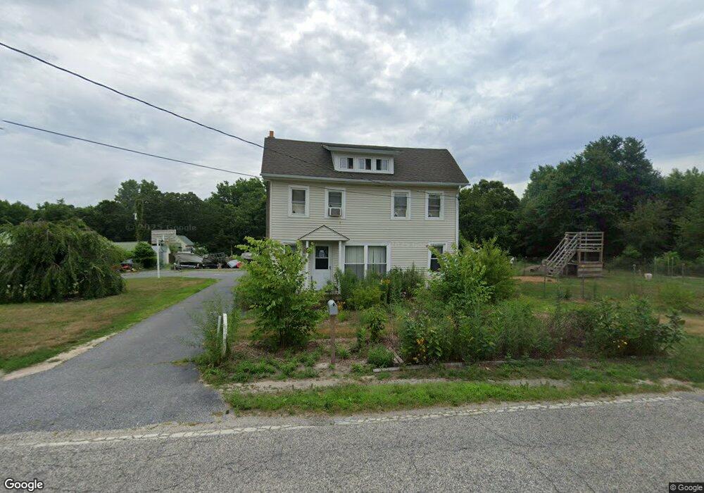
187 Fortescue Rd Newport, NJ 08345
Estimated Value: $219,619 - $297,000
--
Bed
--
Bath
--
Sq Ft
1.7
Acres
About This Home
This home is located at 187 Fortescue Rd, Newport, NJ 08345 and is currently estimated at $264,405. 187 Fortescue Rd is a home located in Cumberland County with nearby schools including Downe Township Elementary School.
Ownership History
Date
Name
Owned For
Owner Type
Purchase Details
Closed on
Aug 18, 2023
Sold by
Loew William S
Bought by
Loew Tiffany A
Current Estimated Value
Purchase Details
Closed on
Oct 6, 2000
Sold by
Cook Dewitt
Bought by
Loew William and Loew Tiffany
Home Financials for this Owner
Home Financials are based on the most recent Mortgage that was taken out on this home.
Original Mortgage
$32,000
Interest Rate
7.88%
Purchase Details
Closed on
Oct 5, 1995
Sold by
Cook Dewitt C and Barker Cook D
Bought by
Cook Dewitt C
Create a Home Valuation Report for This Property
The Home Valuation Report is an in-depth analysis detailing your home's value as well as a comparison with similar homes in the area
Home Values in the Area
Average Home Value in this Area
Purchase History
| Date | Buyer | Sale Price | Title Company |
|---|---|---|---|
| Loew Tiffany A | -- | None Listed On Document | |
| Loew William | $40,000 | -- | |
| Cook Dewitt C | -- | -- |
Source: Public Records
Mortgage History
| Date | Status | Borrower | Loan Amount |
|---|---|---|---|
| Previous Owner | Loew William | $32,000 |
Source: Public Records
Tax History Compared to Growth
Tax History
| Year | Tax Paid | Tax Assessment Tax Assessment Total Assessment is a certain percentage of the fair market value that is determined by local assessors to be the total taxable value of land and additions on the property. | Land | Improvement |
|---|---|---|---|---|
| 2025 | $4,787 | $166,000 | $42,800 | $123,200 |
| 2024 | $4,787 | $166,000 | $42,800 | $123,200 |
| 2023 | $4,366 | $166,000 | $42,800 | $123,200 |
| 2022 | $4,256 | $166,000 | $42,800 | $123,200 |
| 2021 | $4,052 | $166,000 | $42,800 | $123,200 |
| 2020 | $3,992 | $166,000 | $42,800 | $123,200 |
| 2019 | $3,926 | $166,000 | $42,800 | $123,200 |
| 2018 | $3,977 | $166,000 | $42,800 | $123,200 |
| 2017 | $3,820 | $166,000 | $42,800 | $123,200 |
| 2016 | $3,816 | $166,000 | $42,800 | $123,200 |
| 2015 | $3,579 | $166,000 | $42,800 | $123,200 |
| 2014 | $3,315 | $166,000 | $42,800 | $123,200 |
Source: Public Records
Map
Nearby Homes
- 281 Fortescue Rd
- 13 Hall St
- 184 Landing Rd
- 91 Landis Ave
- 0 Relm Ave Unit NJCB2022890
- 0 Keln Ave Unit NJCB2022904
- 554 Old Beaver Dam Rd
- 442 Shaws Mill Rd
- 12 Lores Ln
- 873 875 Downe Ave
- 102 Garrison Ave
- 94 Delaware Ave
- 7 Princeton Ave
- 116 Delaware Ave
- 114 Delaware Ave
- 18 Vassar Ave
- 21 Vassar Ave
- 860 Downe Ave
- 870 Downe Ave
- 167 Cove Rd
- 186 Fortescue Rd
- 180 Fortescue Rd
- 177 Fortescue Rd
- 211 Fortescue Rd
- 9 Husted Ln
- 124 Newport Ave
- 159 Fortescue Rd
- 19 Husted Ln
- 150 Fortescue Rd
- 233 Fortescue Rd
- 169 Fortescue Rd
- 237 Fortescue Rd
- 142 Fortescue Rd
- 248 Newport Neck Rd
- 138 Fortescue Rd
- 139 Fortescue Rd
- 128 Fortescue Rd
- 123 Fortescue Rd
- 120 Fortescue Rd
- 119 Fortescue Rd