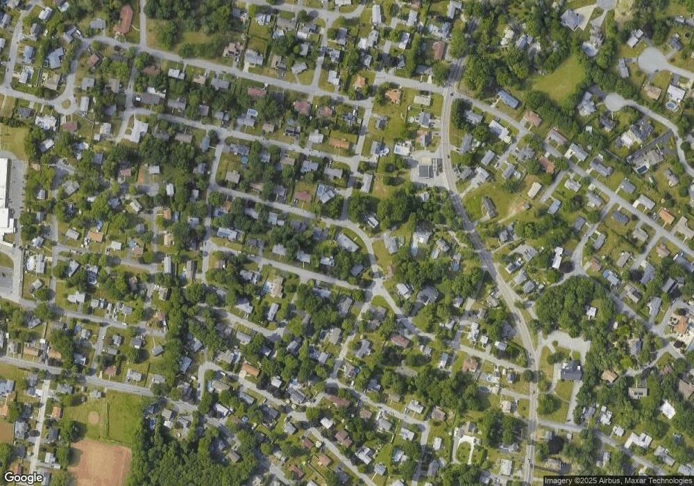
187 Gibbs St Somerset, MA 02726
Pottersville NeighborhoodEstimated Value: $539,000 - $612,000
3
Beds
2
Baths
1,774
Sq Ft
$327/Sq Ft
Est. Value
About This Home
This home is located at 187 Gibbs St, Somerset, MA 02726 and is currently estimated at $579,977, approximately $326 per square foot. 187 Gibbs St is a home located in Bristol County with nearby schools including North Elementary School, Somerset Middle School, and St. Michael's School.
Ownership History
Date
Name
Owned For
Owner Type
Purchase Details
Closed on
Nov 30, 1998
Sold by
Camuso Anthony L and Camuso Constance
Bought by
Hyde Jeffrey A and Hyde Elizabeth
Current Estimated Value
Purchase Details
Closed on
Jul 1, 1988
Sold by
Gennaoui Fares A
Bought by
Camuso Anthony L
Create a Home Valuation Report for This Property
The Home Valuation Report is an in-depth analysis detailing your home's value as well as a comparison with similar homes in the area
Home Values in the Area
Average Home Value in this Area
Purchase History
| Date | Buyer | Sale Price | Title Company |
|---|---|---|---|
| Hyde Jeffrey A | $195,000 | -- | |
| Hyde Jeffrey A | $195,000 | -- | |
| Camuso Anthony L | $170,000 | -- |
Source: Public Records
Mortgage History
| Date | Status | Borrower | Loan Amount |
|---|---|---|---|
| Open | Camuso Anthony L | $165,000 | |
| Closed | Camuso Anthony L | $224,000 | |
| Closed | Camuso Anthony L | $180,000 |
Source: Public Records
Tax History Compared to Growth
Tax History
| Year | Tax Paid | Tax Assessment Tax Assessment Total Assessment is a certain percentage of the fair market value that is determined by local assessors to be the total taxable value of land and additions on the property. | Land | Improvement |
|---|---|---|---|---|
| 2025 | $6,713 | $504,700 | $187,300 | $317,400 |
| 2024 | $6,297 | $492,300 | $187,300 | $305,000 |
| 2023 | $5,622 | $443,400 | $170,100 | $273,300 |
| 2022 | $5,211 | $392,100 | $147,300 | $244,800 |
| 2021 | $5,264 | $358,600 | $133,500 | $225,100 |
| 2020 | $5,367 | $352,600 | $134,400 | $218,200 |
| 2019 | $6,054 | $331,700 | $134,400 | $197,300 |
| 2018 | $5,139 | $303,000 | $130,400 | $172,600 |
| 2017 | $5,123 | $294,400 | $130,400 | $164,000 |
| 2016 | $5,155 | $294,400 | $130,400 | $164,000 |
| 2015 | $4,778 | $275,400 | $122,700 | $152,700 |
| 2014 | $7,286 | $301,700 | $135,100 | $166,600 |
Source: Public Records
Map
Nearby Homes