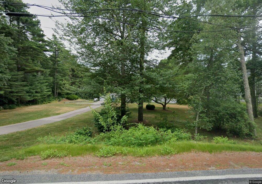
187 High St Carver, MA 02330
Estimated Value: $602,000 - $717,000
4
Beds
4
Baths
2,112
Sq Ft
$310/Sq Ft
Est. Value
About This Home
This home is located at 187 High St, Carver, MA 02330 and is currently estimated at $655,630, approximately $310 per square foot. 187 High St is a home located in Plymouth County with nearby schools including Carver Elementary School, Carver Middle/High School, and Map Academy Charter School.
Ownership History
Date
Name
Owned For
Owner Type
Purchase Details
Closed on
Sep 15, 2000
Sold by
Fahey David W and Fahey Meredith J
Bought by
Jahns Jennifer and Sylvester Evan
Current Estimated Value
Purchase Details
Closed on
Dec 17, 1993
Sold by
Parker Charles C and Parker Judith A
Bought by
Fahey David W and Fahey Meredith J
Purchase Details
Closed on
Nov 3, 1989
Sold by
Miller Edward E
Bought by
Parker Charles C
Purchase Details
Closed on
Sep 29, 1989
Sold by
Mccabe John A
Bought by
Miller Edward E
Create a Home Valuation Report for This Property
The Home Valuation Report is an in-depth analysis detailing your home's value as well as a comparison with similar homes in the area
Home Values in the Area
Average Home Value in this Area
Purchase History
| Date | Buyer | Sale Price | Title Company |
|---|---|---|---|
| Jahns Jennifer | $191,500 | -- | |
| Fahey David W | $146,500 | -- | |
| Parker Charles C | $149,000 | -- | |
| Miller Edward E | $156,000 | -- |
Source: Public Records
Mortgage History
| Date | Status | Borrower | Loan Amount |
|---|---|---|---|
| Open | Miller Edward E | $328,000 | |
| Closed | Miller Edward E | $345,000 | |
| Closed | Miller Edward E | $188,000 |
Source: Public Records
Tax History Compared to Growth
Tax History
| Year | Tax Paid | Tax Assessment Tax Assessment Total Assessment is a certain percentage of the fair market value that is determined by local assessors to be the total taxable value of land and additions on the property. | Land | Improvement |
|---|---|---|---|---|
| 2025 | $8,072 | $582,000 | $142,300 | $439,700 |
| 2024 | $7,652 | $540,000 | $139,600 | $400,400 |
| 2023 | $7,437 | $509,700 | $139,600 | $370,100 |
| 2022 | $7,073 | $442,600 | $119,300 | $323,300 |
| 2021 | $5,967 | $405,500 | $106,500 | $299,000 |
| 2020 | $6,585 | $383,100 | $99,600 | $283,500 |
| 2019 | $6,421 | $376,600 | $96,700 | $279,900 |
| 2018 | $6,223 | $353,000 | $96,700 | $256,300 |
| 2017 | $6,031 | $340,900 | $93,000 | $247,900 |
| 2016 | $5,571 | $327,100 | $88,600 | $238,500 |
| 2015 | $5,467 | $321,400 | $88,600 | $232,800 |
| 2014 | $5,321 | $312,800 | $112,000 | $200,800 |
Source: Public Records
Map
Nearby Homes
- 0 Spring St
- 122 High St
- 6 Twin Pines Ln Unit 6
- 28 Brook St
- 3 Alec Ln
- 6 Susan Cir
- 14 Mariner's Way Unit 14
- 13 Pond View Way
- 19 Roosevelt Rd
- 2 Mariner's Way Unit 306
- 1 Mariner's Way Unit 309
- 62 Mariners Way Unit 305
- 6 Sterling Blvd Unit 6
- 19 Coachman Terrace
- 56 Bunnys Rd
- 17 Lydia Dr
- 6 Stone Gate Dr
- 6 Deer Hill Ln
- 55 Pinehurst Dr
- 24 Jamies Path
- 185 High St
- Lot 1-6 Clearing Farm Rd-Subdiv Lot 19
- Lot 1-20 Clearing Farm Rd-Subdiv Lot 16
- 232 Parting Ways Rd
- 238 Parting Ways Rd
- 186 High St
- 3 Clearing Farm Rd
- 224 Parting Ways Rd
- 182 High St
- 5 Clearing Farm Rd
- 5 Clearing Farm Rd
- 216 Parting Ways Rd
- 180 High St
- 0 Manor Farm Way
- 173 High St
- 2 Manor Farm Way
- 7 Clearing Farm Rd
- 7 Clearing Farm Rd
- 217 Parting Ways Rd
- 178 High St
