187 Moore Rd Moultrie, GA 31788
Estimated Value: $466,000 - $508,326
--
Bed
4
Baths
3,427
Sq Ft
$144/Sq Ft
Est. Value
About This Home
This home is located at 187 Moore Rd, Moultrie, GA 31788 and is currently estimated at $492,109, approximately $143 per square foot. 187 Moore Rd is a home located in Colquitt County with nearby schools including Odom Elementary School, Willie J. Williams Middle School, and C.A. Gray Junior High School.
Ownership History
Date
Name
Owned For
Owner Type
Purchase Details
Closed on
Nov 15, 2007
Sold by
Pitts Philip W
Bought by
Bell Jonathan A and Bell Crystal L
Current Estimated Value
Home Financials for this Owner
Home Financials are based on the most recent Mortgage that was taken out on this home.
Original Mortgage
$86,523
Interest Rate
6.36%
Mortgage Type
New Conventional
Purchase Details
Closed on
Mar 23, 2006
Sold by
Pitts Philip W
Bought by
Bell Jonathan A and Bell Crystal L
Purchase Details
Closed on
Mar 21, 2006
Sold by
Pitts Philip W
Bought by
Bell Jonathan A and Bell Crystal L
Purchase Details
Closed on
Dec 5, 2001
Bought by
Pitts Phillip W
Create a Home Valuation Report for This Property
The Home Valuation Report is an in-depth analysis detailing your home's value as well as a comparison with similar homes in the area
Home Values in the Area
Average Home Value in this Area
Purchase History
| Date | Buyer | Sale Price | Title Company |
|---|---|---|---|
| Bell Jonathan A | $33,672 | -- | |
| Bell Jonathan A | $79,955 | -- | |
| Bell Jonathan A | $79,955 | -- | |
| Pitts Phillip W | -- | -- |
Source: Public Records
Mortgage History
| Date | Status | Borrower | Loan Amount |
|---|---|---|---|
| Closed | Bell Jonathan A | $86,523 |
Source: Public Records
Tax History Compared to Growth
Tax History
| Year | Tax Paid | Tax Assessment Tax Assessment Total Assessment is a certain percentage of the fair market value that is determined by local assessors to be the total taxable value of land and additions on the property. | Land | Improvement |
|---|---|---|---|---|
| 2024 | $3,993 | $198,876 | $2,986 | $195,890 |
| 2023 | $5,004 | $152,443 | $2,986 | $149,457 |
| 2022 | $3,296 | $140,435 | $2,654 | $137,781 |
| 2021 | $3,159 | $132,103 | $2,654 | $129,449 |
| 2020 | $3,074 | $126,379 | $2,654 | $123,725 |
| 2019 | $3,262 | $120,655 | $2,654 | $118,001 |
| 2018 | $3,086 | $120,655 | $2,654 | $118,001 |
| 2017 | $3,270 | $122,143 | $4,142 | $118,001 |
| 2016 | $3,313 | $122,143 | $4,142 | $118,001 |
| 2015 | $3,344 | $122,143 | $4,142 | $118,001 |
| 2014 | $3,066 | $114,263 | $4,142 | $110,121 |
| 2013 | -- | $118,698 | $4,142 | $114,556 |
Source: Public Records
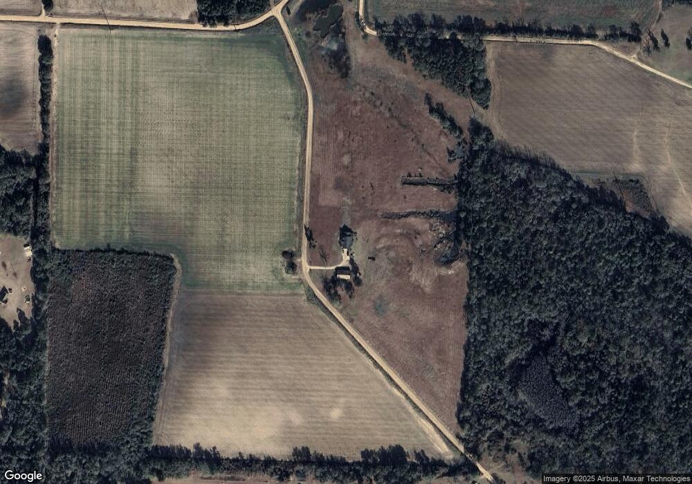
Map
Nearby Homes
- 1114 Cannon Rd
- 5808 Georgia 133
- 277 Indian Creek Subdivision
- 313 Langford St
- 410 Railroad St
- 0 Southerland Ave
- 8774 Antioch Rd
- 5940 Georgia 37
- 2262 Sardis Church Rd
- 0 Upper Trail Unit 913421
- 0 Upper Trail Unit 913422
- 0 Burton Rd Unit 23760976
- 0 Burton Rd Unit 23669194
- 0 Sardis Church Rd
- 182 Horseshoe Dr
- 421 Best Cir
- 0 Murray McCranie Rd Unit 25079284
- 0 Murray McCranie Rd Unit 11586683
- 289 Arthur Newbern Rd
- 2590 McConnell Bridge Rd
- 362 Moore Rd
- 493 Rufus Merritt Rd
- 363 Burgess Rd
- 385 Moore Rd
- 430 Burgess Rd
- 281 Paul Moore Rd
- 1777 Cannon Rd
- 532 Burgess Rd
- 591 Burgess Rd
- 610 Burgess Rd
- 636 Burgess Rd
- 630 Burgess Rd
- 719 Burgess Rd
- 650 Burgess Rd
- 2089 Cannon Rd
- 848 Sangster Rd
- 1936 Cannon Rd
- 794 Rufus Merritt Rd
- 2162 Cannon Rd
- 766 Lee Courthouse Rd