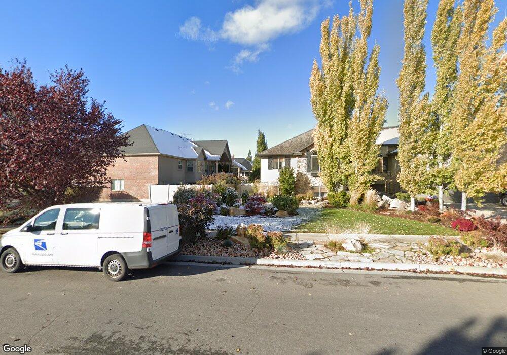
187 N 2975 W Clearfield, UT 84015
Estimated Value: $646,000 - $699,000
5
Beds
4
Baths
3,492
Sq Ft
$192/Sq Ft
Est. Value
About This Home
This home is located at 187 N 2975 W, Clearfield, UT 84015 and is currently estimated at $668,850, approximately $191 per square foot. 187 N 2975 W is a home located in Davis County with nearby schools including West Point School, West Point Junior High School, and Syracuse High School.
Ownership History
Date
Name
Owned For
Owner Type
Purchase Details
Closed on
Sep 17, 2019
Sold by
Morley Aaron Terry
Bought by
Morley Aaron Terry and Morley Cara Leanne
Current Estimated Value
Home Financials for this Owner
Home Financials are based on the most recent Mortgage that was taken out on this home.
Original Mortgage
$391,773
Outstanding Balance
$343,303
Interest Rate
3.62%
Mortgage Type
FHA
Estimated Equity
$325,547
Purchase Details
Closed on
Sep 18, 2006
Sold by
North Ivory
Bought by
Jackson Stacy R and Jackson Shannon M
Home Financials for this Owner
Home Financials are based on the most recent Mortgage that was taken out on this home.
Original Mortgage
$310,433
Interest Rate
6.51%
Mortgage Type
VA
Create a Home Valuation Report for This Property
The Home Valuation Report is an in-depth analysis detailing your home's value as well as a comparison with similar homes in the area
Home Values in the Area
Average Home Value in this Area
Purchase History
| Date | Buyer | Sale Price | Title Company |
|---|---|---|---|
| Morley Aaron Terry | -- | Inwest Title Services | |
| Morley Aaron Terry | -- | Backman Title Servi | |
| Jackson Stacy R | -- | Cottonwood Title Ins Agency |
Source: Public Records
Mortgage History
| Date | Status | Borrower | Loan Amount |
|---|---|---|---|
| Open | Morley Aaron Terry | $391,773 | |
| Previous Owner | Jackson Stacy R | $310,433 |
Source: Public Records
Tax History
| Year | Tax Paid | Tax Assessment Tax Assessment Total Assessment is a certain percentage of the fair market value that is determined by local assessors to be the total taxable value of land and additions on the property. | Land | Improvement |
|---|---|---|---|---|
| 2025 | $3,592 | $336,600 | $96,742 | $239,858 |
| 2024 | $3,412 | $321,201 | $87,148 | $234,053 |
| 2023 | $3,211 | $556,000 | $105,573 | $450,427 |
| 2022 | $3,319 | $314,600 | $54,082 | $260,518 |
| 2021 | $3,131 | $444,000 | $87,769 | $356,231 |
| 2020 | $2,766 | $387,000 | $73,129 | $313,871 |
| 2019 | $2,544 | $351,000 | $71,129 | $279,871 |
| 2018 | $2,449 | $333,000 | $72,469 | $260,531 |
| 2016 | $2,140 | $153,120 | $27,981 | $125,139 |
| 2015 | $2,191 | $148,555 | $27,981 | $120,574 |
| 2014 | $1,992 | $136,988 | $27,981 | $109,007 |
| 2013 | -- | $123,018 | $34,381 | $88,637 |
Source: Public Records
Map
Nearby Homes
Your Personal Tour Guide
Ask me questions while you tour the home.