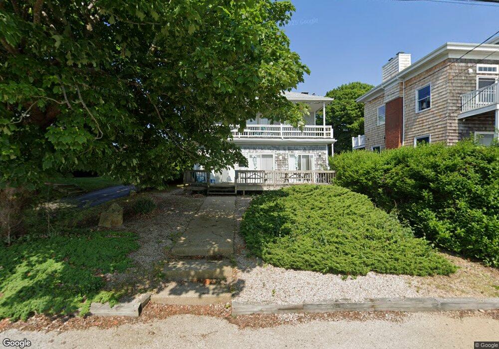
187 Ocean Rd Narragansett, RI 02882
Estimated Value: $1,434,000 - $2,068,256
6
Beds
4
Baths
2,910
Sq Ft
$586/Sq Ft
Est. Value
About This Home
This home is located at 187 Ocean Rd, Narragansett, RI 02882 and is currently estimated at $1,706,564, approximately $586 per square foot. 187 Ocean Rd is a home located in Washington County with nearby schools including Narragansett Elementary School, Narragansett Pier Middle School, and Narragansett High School.
Ownership History
Date
Name
Owned For
Owner Type
Purchase Details
Closed on
Sep 2, 2014
Sold by
Larch John H and Larch Ann M
Bought by
I John
Current Estimated Value
Purchase Details
Closed on
Jul 15, 1994
Sold by
Kamajian George K
Bought by
Larch John H and Larch Ann
Home Financials for this Owner
Home Financials are based on the most recent Mortgage that was taken out on this home.
Original Mortgage
$98,000
Interest Rate
8.51%
Create a Home Valuation Report for This Property
The Home Valuation Report is an in-depth analysis detailing your home's value as well as a comparison with similar homes in the area
Home Values in the Area
Average Home Value in this Area
Purchase History
| Date | Buyer | Sale Price | Title Company |
|---|---|---|---|
| I John | -- | -- | |
| Larch John H | $237,500 | -- |
Source: Public Records
Mortgage History
| Date | Status | Borrower | Loan Amount |
|---|---|---|---|
| Previous Owner | Larch John H | $98,000 |
Source: Public Records
Tax History
| Year | Tax Paid | Tax Assessment Tax Assessment Total Assessment is a certain percentage of the fair market value that is determined by local assessors to be the total taxable value of land and additions on the property. | Land | Improvement |
|---|---|---|---|---|
| 2025 | $11,911 | $1,754,200 | $1,302,900 | $451,300 |
| 2024 | $11,490 | $1,754,200 | $1,302,900 | $451,300 |
| 2023 | $11,980 | $1,286,800 | $979,900 | $306,900 |
| 2022 | $11,581 | $1,286,800 | $979,900 | $306,900 |
| 2021 | $11,401 | $1,286,800 | $979,900 | $306,900 |
| 2020 | $10,060 | $959,900 | $678,000 | $281,900 |
| 2019 | $9,820 | $959,900 | $678,000 | $281,900 |
| 2018 | $9,551 | $959,900 | $678,000 | $281,900 |
| 2017 | $10,177 | $963,700 | $729,100 | $234,600 |
| 2016 | $9,714 | $963,700 | $729,100 | $234,600 |
| 2015 | $9,579 | $963,700 | $729,100 | $234,600 |
| 2014 | $8,457 | $842,300 | $605,300 | $237,000 |
Source: Public Records
Map
Nearby Homes
- 27 Westmoreland St
- 127 Boon St
- 0 Blossom Way Unit 1402677
- 140 S Pier Rd
- 0 Hazard Ave
- 16 Courtway St
- 10 Pier Market Place Unit 10
- 216 S Pier Rd
- 137 Kingstown Rd
- 56 Wanda St
- 54 Othmar St
- 13 Prospect Ave
- 6 Brandywine Ln
- 4 Wayne St
- 150 Boston Neck Rd
- 0 Fairway Dr
- 32 Starr Dr W
- 0 Daytona Ave
- 143 Summit Ave
- 576 Point Judith Rd
- 191 Ocean Rd
- 185 Ocean Rd Unit B
- 185 Ocean Rd
- 185 Ocean Rd Unit 5
- 179 Ocean Rd Unit B
- 179 Ocean Rd Unit 1
- 179 Ocean Rd Unit 2
- 179 Ocean Rd
- 195 Ocean Rd
- 14 Chestnut St
- 13 S Pier Rd
- 12 South Trail
- 12 S Pier Rd
- 9 Cedar St
- 190 Ocean Rd
- 12 Pier Rd
- 16 Chestnut St
- 197 Ocean Rd
- 197 Ocean Rd Unit B
- 1 S Pier Rd
Your Personal Tour Guide
Ask me questions while you tour the home.