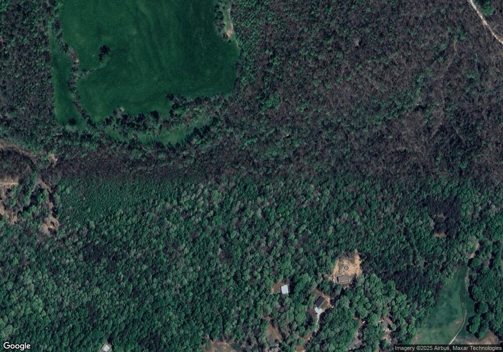
Estimated Value: $435,000
3
Beds
3
Baths
2,262
Sq Ft
$192/Sq Ft
Est. Value
About This Home
This home is located at 187 Payne Rd, Homer, GA 30547 and is currently priced at $435,000, approximately $192 per square foot. 187 Payne Rd is a home located in Banks County with nearby schools including Banks County Primary School, Banks County Elementary School, and Banks County Middle School.
Ownership History
Date
Name
Owned For
Owner Type
Purchase Details
Closed on
Dec 20, 2019
Sold by
Millwood Anne L
Bought by
Poe Ashlyn Booke
Current Estimated Value
Purchase Details
Closed on
Feb 27, 2018
Sold by
Millwood
Bought by
Millwood Anne L
Home Financials for this Owner
Home Financials are based on the most recent Mortgage that was taken out on this home.
Original Mortgage
$50,000
Interest Rate
4.22%
Mortgage Type
New Conventional
Purchase Details
Closed on
Jan 10, 2007
Sold by
Millwood Donald
Bought by
Mitchell Andres Renee and Mitchell Paul James
Create a Home Valuation Report for This Property
The Home Valuation Report is an in-depth analysis detailing your home's value as well as a comparison with similar homes in the area
Home Values in the Area
Average Home Value in this Area
Purchase History
| Date | Buyer | Sale Price | Title Company |
|---|---|---|---|
| Poe Ashlyn Booke | $13,600 | -- | |
| Poe Ashley Brooke | -- | -- | |
| Millwood Anne L | -- | -- | |
| Burchett Katherine Renee | $13,600 | -- | |
| Burchett Katherine Renee | -- | -- | |
| Millwood Anne L | -- | -- | |
| Millwood Anne L | -- | -- | |
| Millwood Anne L | -- | -- | |
| Mitchell Andres Renee | -- | -- |
Source: Public Records
Mortgage History
| Date | Status | Borrower | Loan Amount |
|---|---|---|---|
| Previous Owner | Millwood Anne L | $50,000 |
Source: Public Records
Tax History Compared to Growth
Tax History
| Year | Tax Paid | Tax Assessment Tax Assessment Total Assessment is a certain percentage of the fair market value that is determined by local assessors to be the total taxable value of land and additions on the property. | Land | Improvement |
|---|---|---|---|---|
| 2025 | $652 | $191,066 | $191,066 | $0 |
| 2024 | $652 | $186,478 | $186,478 | $0 |
| 2023 | $654 | $181,157 | $181,157 | $0 |
| 2022 | $658 | $140,141 | $140,141 | $0 |
| 2021 | $680 | $116,785 | $116,785 | $0 |
| 2020 | $678 | $114,494 | $114,494 | $0 |
| 2019 | $692 | $118,430 | $118,430 | $0 |
| 2018 | $2,660 | $225,030 | $126,958 | $98,072 |
| 2017 | $2,747 | $208,902 | $110,398 | $98,504 |
| 2016 | $2,423 | $197,009 | $110,456 | $86,553 |
| 2015 | $2,372 | $197,008 | $110,456 | $86,553 |
| 2014 | $2,372 | $293,921 | $207,368 | $86,553 |
| 2013 | -- | $280,124 | $207,368 | $72,756 |
Source: Public Records
Map
Nearby Homes
- 145 Greenview Ct
- The Dunhill Plan at Chimney Oaks
- The Yorkshire Plan at Chimney Oaks
- The Oakdale Plan at Chimney Oaks
- The Bentley Plan at Chimney Oaks
- The Chadwick Plan at Chimney Oaks
- The Harrison Plan at Chimney Oaks
- The Ellington Plan at Chimney Oaks
- The Cheshire Plan at Chimney Oaks
- The Thorton Plan at Chimney Oaks
- 154 Greenview Ct
- 131 Swallowtail Ln
- 150 Greenview Ct
- 125 Swallowtail Ln
- 115 Swallowtail Ln
- 113 Swallowtail Ln
- 119 Swallowtail Ln
- 121 Greenview Ct Unit 1304
- 148 Greenview Ct
- 366 Charity Rd
- 217 Free Dr
- 185 Free Dr
- 2543 U S 441
- 2543 Highway 441
- 175 Free Dr
- 150 Free Dr
- 2000 U S 441
- 2000 Highway 441 N
- 339 Payne Rd
- 124 Free Dr
- 2500 Highway 441
- 2486 Highway 441
- 153 Roberts Cir
- 0 Roberts Cir Unit 8527423
- 0 Roberts Cir
- 159 Honeydew Ln
- 159 Honey Dew Ln
- 182 Roberts Cir
- 140 Free Dr
- 0 NE Honey Dew Ln NE Unit 8376640
