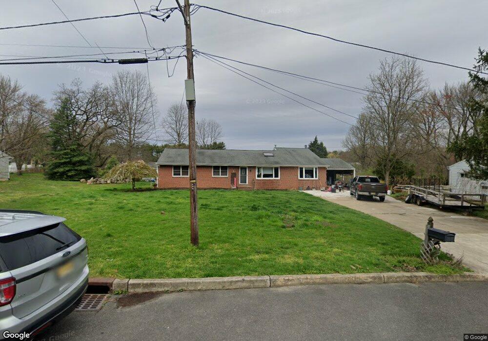
187 Perry Ave Moorestown, NJ 08057
Estimated Value: $512,000 - $706,000
--
Bed
--
Bath
2,150
Sq Ft
$286/Sq Ft
Est. Value
About This Home
This home is located at 187 Perry Ave, Moorestown, NJ 08057 and is currently estimated at $615,110, approximately $286 per square foot. 187 Perry Ave is a home located in Burlington County with nearby schools including George C. Baker Elementary School, Moorestown Upper Elementary School, and William Allen Middle School.
Ownership History
Date
Name
Owned For
Owner Type
Purchase Details
Closed on
Mar 28, 1994
Sold by
Chaffin David
Bought by
Madsen Christian and Madsen Judith
Current Estimated Value
Home Financials for this Owner
Home Financials are based on the most recent Mortgage that was taken out on this home.
Original Mortgage
$38,000
Interest Rate
7.6%
Create a Home Valuation Report for This Property
The Home Valuation Report is an in-depth analysis detailing your home's value as well as a comparison with similar homes in the area
Home Values in the Area
Average Home Value in this Area
Purchase History
| Date | Buyer | Sale Price | Title Company |
|---|---|---|---|
| Madsen Christian | $125,000 | -- |
Source: Public Records
Mortgage History
| Date | Status | Borrower | Loan Amount |
|---|---|---|---|
| Closed | Madsen Christian | $38,000 |
Source: Public Records
Tax History Compared to Growth
Tax History
| Year | Tax Paid | Tax Assessment Tax Assessment Total Assessment is a certain percentage of the fair market value that is determined by local assessors to be the total taxable value of land and additions on the property. | Land | Improvement |
|---|---|---|---|---|
| 2025 | $8,596 | $303,000 | $167,800 | $135,200 |
| 2024 | $8,336 | $303,000 | $167,800 | $135,200 |
| 2023 | $8,336 | $303,000 | $167,800 | $135,200 |
| 2022 | $8,251 | $303,000 | $167,800 | $135,200 |
| 2021 | $8,142 | $303,000 | $167,800 | $135,200 |
| 2020 | $8,090 | $303,000 | $167,800 | $135,200 |
| 2019 | $7,948 | $303,000 | $167,800 | $135,200 |
| 2018 | $7,733 | $303,000 | $167,800 | $135,200 |
| 2017 | $7,799 | $303,000 | $167,800 | $135,200 |
| 2016 | $7,772 | $303,000 | $167,800 | $135,200 |
| 2015 | $7,678 | $303,000 | $167,800 | $135,200 |
| 2014 | $7,290 | $303,000 | $167,800 | $135,200 |
Source: Public Records
Map
Nearby Homes
- 316 Farmdale Rd
- 543 Bethel Ave
- 420 Park Blvd
- 803 Fernwood Rd
- 493 N Church St
- 25 Oriole Way
- 313 Fairview Ave
- 111 Flynn Ave
- 10 Longwood Ln
- 739 Lippincott Ave
- 8 E Oak Ave
- 1 Circle Dr
- 5 Collins Mill Ct
- 47 Eraser Rd
- 8 Collins Mill Ct
- 12 Greenvale Rd
- 2801 Riverton Rd
- 136 Chalkboard Ct
- 7 Errickson Ave
- 206 E Camden Ave
- 183 Perry Ave
- 191 Perry Ave
- 195 Perry Ave
- 188 Perry Ave
- 186 Perry Ave
- 192 Perry Ave
- 180 Rockland Ave
- 184 Rockland Ave
- 198 Perry Ave
- 176 Rockland Ave
- 199 Perry Ave
- 192 Rockland Ave
- 1103 N Church St
- 187 Stanley Ave
- 179 Rockland Ave
- 183 Stanley Ave
- 191 Stanley Ave
- 183 Rockland Ave
- 1101 N Church St
- 175 Rockland Ave