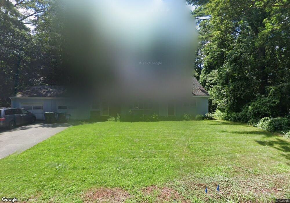
187 Pratts Mill Rd Sudbury, MA 01776
Estimated Value: $889,000 - $982,000
4
Beds
3
Baths
1,862
Sq Ft
$495/Sq Ft
Est. Value
About This Home
This home is located at 187 Pratts Mill Rd, Sudbury, MA 01776 and is currently estimated at $922,204, approximately $495 per square foot. 187 Pratts Mill Rd is a home located in Middlesex County with nearby schools including Peter Noyes Elementary School, Ephraim Curtis Middle School, and Lincoln-Sudbury Regional High School.
Ownership History
Date
Name
Owned For
Owner Type
Purchase Details
Closed on
Jul 23, 2025
Sold by
Prosansky Michael R
Bought by
Prosansky Susan
Current Estimated Value
Home Financials for this Owner
Home Financials are based on the most recent Mortgage that was taken out on this home.
Original Mortgage
$302,005
Outstanding Balance
$301,234
Interest Rate
6.84%
Mortgage Type
New Conventional
Estimated Equity
$620,970
Purchase Details
Closed on
Sep 13, 2002
Sold by
Shea John E and Shea Jean T
Bought by
Prosansky Michael R and Prosansky Susan R
Purchase Details
Closed on
Aug 1, 1997
Sold by
Williams Robert B and Williams Sarah A
Bought by
Shea John E and Shea Jean T
Create a Home Valuation Report for This Property
The Home Valuation Report is an in-depth analysis detailing your home's value as well as a comparison with similar homes in the area
Home Values in the Area
Average Home Value in this Area
Purchase History
| Date | Buyer | Sale Price | Title Company |
|---|---|---|---|
| Prosansky Susan | $60,000 | -- | |
| Prosansky Susan | $60,000 | -- | |
| Prosansky Michael R | $400,000 | -- | |
| Prosansky Michael R | $400,000 | -- | |
| Shea John E | $225,000 | -- | |
| Shea John E | $225,000 | -- |
Source: Public Records
Mortgage History
| Date | Status | Borrower | Loan Amount |
|---|---|---|---|
| Open | Prosansky Susan | $302,005 | |
| Closed | Prosansky Susan | $302,005 | |
| Previous Owner | Shea John E | $258,075 | |
| Previous Owner | Shea John E | $260,000 |
Source: Public Records
Tax History Compared to Growth
Tax History
| Year | Tax Paid | Tax Assessment Tax Assessment Total Assessment is a certain percentage of the fair market value that is determined by local assessors to be the total taxable value of land and additions on the property. | Land | Improvement |
|---|---|---|---|---|
| 2025 | $10,923 | $746,100 | $385,200 | $360,900 |
| 2024 | $10,537 | $721,200 | $373,900 | $347,300 |
| 2023 | $10,694 | $678,100 | $339,800 | $338,300 |
| 2022 | $10,260 | $568,400 | $311,900 | $256,500 |
| 2021 | $9,858 | $523,500 | $311,900 | $211,600 |
| 2020 | $9,659 | $523,500 | $311,900 | $211,600 |
| 2019 | $5,667 | $523,500 | $311,900 | $211,600 |
| 2018 | $5,495 | $512,800 | $315,500 | $197,300 |
| 2017 | $8,687 | $489,700 | $304,700 | $185,000 |
| 2016 | $8,364 | $469,900 | $293,100 | $176,800 |
| 2015 | $7,992 | $454,100 | $279,300 | $174,800 |
| 2014 | $7,937 | $440,200 | $269,500 | $170,700 |
Source: Public Records
Map
Nearby Homes
- 14 Tanbark Rd
- 21 Summer St
- 7 Saddle Ridge Rd
- 47 Fairbank Rd
- 36 Old Forge Ln
- 4 Elderberry Cir
- 12 Camperdown Ln
- 24 Goodnow Rd
- 30 Rolling Ln
- 143 Peakham Rd
- 25 Bridle Path
- 54 Phillips Rd
- 89 Bridle Path
- 12 Hickory Rd
- 270 Old Lancaster Rd
- 54 Stone Rd
- 0 Robbins Rd
- 55 Widow Rites Ln
- 45 Widow Rites Ln
- 0 Boston Post Rd
- 181 Pratts Mill Rd
- 182 Pratts Mill Rd
- 182 Pratts Mill Rd Unit 1
- 192 Pratts Mill Rd
- 192 Pratts Mill Rd Unit 1
- 191 Pratts Mill Rd
- 175 Pratts Mill Rd
- 198 Pratts Mill Rd
- 38 Magnolia Rd
- 197 Pratts Mill Rd
- 30 Magnolia Rd
- 176 Pratts Mill Rd
- 24 Magnolia Rd
- 201 Pratts Mill Rd
- 202 Pratts Mill Rd
- 11 Hop Brook Ln
- 35 Magnolia Rd
- 27 Magnolia Rd
- 167 Pratts Mill Rd
- 170 Pratts Mill Rd