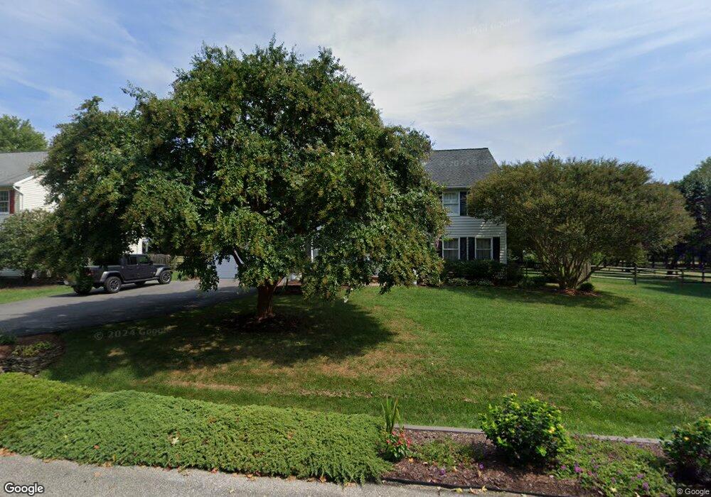
187 Rock Ridge Rd Millersville, MD 21108
Estimated Value: $906,000 - $1,079,000
Studio
3
Baths
3,024
Sq Ft
$327/Sq Ft
Est. Value
About This Home
This home is located at 187 Rock Ridge Rd, Millersville, MD 21108 and is currently estimated at $988,515, approximately $326 per square foot. 187 Rock Ridge Rd is a home located in Anne Arundel County with nearby schools including Benfield Elementary School, Severna Park Middle School, and Severna Park High School.
Ownership History
Date
Name
Owned For
Owner Type
Purchase Details
Closed on
Oct 10, 2025
Sold by
Allan Richard L and Allan Sharon H
Bought by
Allan Family Trust and Allan
Current Estimated Value
Purchase Details
Closed on
Dec 17, 1992
Sold by
Kilmarnock
Bought by
Allan Richard L and Allan Sharon H
Home Financials for this Owner
Home Financials are based on the most recent Mortgage that was taken out on this home.
Original Mortgage
$249,000
Interest Rate
8.23%
Create a Home Valuation Report for This Property
The Home Valuation Report is an in-depth analysis detailing your home's value as well as a comparison with similar homes in the area
Home Values in the Area
Average Home Value in this Area
Purchase History
| Date | Buyer | Sale Price | Title Company |
|---|---|---|---|
| Allan Family Trust | -- | None Listed On Document | |
| Allan Richard L | $284,800 | -- |
Source: Public Records
Mortgage History
| Date | Status | Borrower | Loan Amount |
|---|---|---|---|
| Previous Owner | Allan Richard L | $249,000 |
Source: Public Records
Tax History
| Year | Tax Paid | Tax Assessment Tax Assessment Total Assessment is a certain percentage of the fair market value that is determined by local assessors to be the total taxable value of land and additions on the property. | Land | Improvement |
|---|---|---|---|---|
| 2025 | $6,328 | $741,233 | -- | -- |
| 2024 | $6,328 | $670,000 | $324,800 | $345,200 |
| 2023 | $6,160 | $648,000 | $0 | $0 |
| 2022 | $5,761 | $626,000 | $0 | $0 |
| 2020 | $5,514 | $599,667 | $0 | $0 |
| 2019 | $5,426 | $595,333 | $0 | $0 |
| 2018 | $5,993 | $591,000 | $274,800 | $316,200 |
| 2017 | $5,084 | $557,833 | $0 | $0 |
| 2016 | -- | $524,667 | $0 | $0 |
| 2015 | -- | $491,500 | $0 | $0 |
| 2014 | -- | $491,500 | $0 | $0 |
Source: Public Records
Map
Nearby Homes
- 304 W Pasadena Rd
- 316 Dogwood Rd
- 337 Dogwood Rd
- 751 Oakwilde Ct
- 333 Butternut Ct
- 8306 Carli Ct
- 315 Obrecht Rd
- 110 Natalie Ln
- 8301 Jumpers Hole Rd
- 486 Brightwood Rd
- 408 Kosmill Dr
- 8262 Railroad Ave
- 8218 Kippis Rd
- 140 Overlea Rd
- 8341 Kippis Rd
- 8251 Rupert Rd S
- 762 Benfield Blvd
- 130 Clarence Ave
- 8382 Amber Beacon Cir
- 8251 Ahearn Rd
- 185 Rock Ridge Rd
- 189 Rock Ridge Rd
- 265 W Pasadena Rd
- 191 Rock Ridge Rd
- 100 Lahinch Dr
- 102 Lahinch Dr
- 260 W Pasadena Rd
- 259 W Pasadena Rd
- 242 W Pasadena Rd
- 271 W Pasadena Rd
- 270 W Pasadena Rd
- 193 Rock Ridge Rd
- 248 W Pasadena Rd
- 101 Lahinch Dr
- 103 Lahinch Dr
- 104 Lahinch Dr
- 258 W Pasadena Rd
- 236 W Pasadena Rd
- 195 Rock Ridge Rd
- 105 Lahinch Dr
Your Personal Tour Guide
Ask me questions while you tour the home.