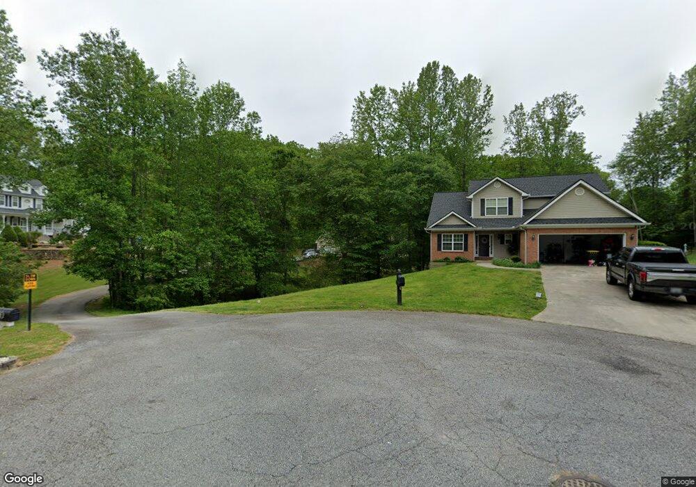
187 Rockwind Way Unit 9 Demorest, GA 30535
Estimated Value: $361,000 - $463,000
3
Beds
3
Baths
2,890
Sq Ft
$140/Sq Ft
Est. Value
About This Home
This home is located at 187 Rockwind Way Unit 9, Demorest, GA 30535 and is currently estimated at $403,906, approximately $139 per square foot. 187 Rockwind Way Unit 9 is a home located in Habersham County with nearby schools including Demorest Elementary School, Wilbanks Middle School, and Habersham Success Academy.
Ownership History
Date
Name
Owned For
Owner Type
Purchase Details
Closed on
Feb 7, 2020
Sold by
Burris Steven
Bought by
Jimison James and Jimison Bethany
Current Estimated Value
Home Financials for this Owner
Home Financials are based on the most recent Mortgage that was taken out on this home.
Original Mortgage
$224,910
Outstanding Balance
$199,142
Interest Rate
3.6%
Mortgage Type
New Conventional
Estimated Equity
$204,764
Purchase Details
Closed on
Feb 19, 2014
Sold by
Holland James W
Bought by
Burris Steven and Burris Hope
Home Financials for this Owner
Home Financials are based on the most recent Mortgage that was taken out on this home.
Original Mortgage
$123,000
Interest Rate
4.43%
Mortgage Type
New Conventional
Create a Home Valuation Report for This Property
The Home Valuation Report is an in-depth analysis detailing your home's value as well as a comparison with similar homes in the area
Home Values in the Area
Average Home Value in this Area
Purchase History
| Date | Buyer | Sale Price | Title Company |
|---|---|---|---|
| Jimison James | $249,900 | -- | |
| Burris Steven | $139,000 | -- |
Source: Public Records
Mortgage History
| Date | Status | Borrower | Loan Amount |
|---|---|---|---|
| Open | Jimison James | $224,910 | |
| Previous Owner | Burris Steven | $123,000 |
Source: Public Records
Tax History Compared to Growth
Tax History
| Year | Tax Paid | Tax Assessment Tax Assessment Total Assessment is a certain percentage of the fair market value that is determined by local assessors to be the total taxable value of land and additions on the property. | Land | Improvement |
|---|---|---|---|---|
| 2025 | $3,588 | $148,542 | $10,000 | $138,542 |
| 2024 | $4,168 | $160,604 | $10,000 | $150,604 |
| 2023 | $3,354 | $134,144 | $10,000 | $124,144 |
| 2022 | $3,029 | $116,168 | $10,000 | $106,168 |
| 2021 | $2,581 | $99,444 | $10,000 | $89,444 |
| 2020 | $2,111 | $80,420 | $8,000 | $72,420 |
| 2019 | $2,090 | $77,624 | $8,000 | $69,624 |
| 2018 | $2,074 | $77,624 | $8,000 | $69,624 |
| 2017 | $1,803 | $67,124 | $4,000 | $63,124 |
| 2016 | $1,750 | $167,810 | $4,000 | $63,124 |
| 2015 | $1,433 | $167,810 | $4,000 | $63,124 |
| 2014 | $1,690 | $165,960 | $4,000 | $62,384 |
| 2013 | -- | $66,384 | $4,000 | $62,384 |
Source: Public Records
Map
Nearby Homes
- 129 Rockwind Way
- 159 Hardyville Cir
- 180 Springbrook Dr
- 161 Springbrook Dr
- 198 Hickory Ave
- 189 Legacy Dr
- 107 Brasstown Ln
- Plan 2131 at Habersham Meadows
- Plan 1709 at Habersham Meadows
- Plan 2307 at Habersham Meadows
- Plan 1902 at Habersham Meadows
- Plan 3119 at Habersham Meadows
- Plan 2408 at Habersham Meadows
- Plan 2100 at Habersham Meadows
- Plan 2628 at Habersham Meadows
- Plan 3105 at Habersham Meadows
- Plan 2121 at Habersham Meadows
- Plan 1602-2 at Habersham Meadows
- Plan 1643 at Habersham Meadows
- 441 Spiral Hills Dr
- 178 Rockwind Way
- 210 Stonebrook Dr
- 185 Rockwind Way
- 164 Rockwind Way
- 216 Stonebrook Dr
- 186 Stonebrook Dr
- 158 Rockwind Way
- 155 Rockwind Way
- 217 Stonebrook Dr
- 230 Stonebrook Dr
- 152 Rockwind Way
- 152 Rockwind Way Unit 12
- 223 Stonebrook Dr
- 157 Stonebrook Dr
- 172 Stonebrook Dr
- 145 Rockwind Way
- 151 Stonebrook Dr
- 268 Stonebrook Dr
- 276 Stonebrook Dr
- 141 Stonebrook Dr