187 Saps Rd Hampstead, NC 28443
Estimated Value: $792,769 - $856,000
About This Home
This home is located at 187 Saps Rd, Hampstead, NC 28443 and is currently estimated at $815,442, approximately $319 per square foot. 187 Saps Rd is a home with nearby schools including South Topsail Elementary School, Topsail Middle School, and Topsail High School.
Ownership History
We collect this data history from publicly available records. To have your information removed, we recommend requesting removal directly through your county’s website.
Purchase Details
Purchase Details
Purchase Details
Home Values in the Area
Average Home Value in this Area
Purchase History
We collect this data history from publicly available records. To have your information removed, we recommend requesting removal directly through your county’s website.
| Date | Buyer | Sale Price | Title Company |
|---|---|---|---|
| $21,000 | None Available | ||
| $29,500 | None Available | ||
| $138,000 | -- |
Tax History
We collect this data history from publicly available records. To have your information removed, we recommend requesting removal directly through your county’s website.
| Year | Tax Paid | Tax Assessment Tax Assessment Total Assessment is a certain percentage of the fair market value that is determined by local assessors to be the total taxable value of land and additions on the property. | Land | Improvement |
|---|---|---|---|---|
| 2025 | $2,872 | $774,084 | $178,762 | $595,322 |
| 2024 | $2,872 | $288,916 | $33,870 | $255,046 |
| 2023 | $2,872 | $288,916 | $33,870 | $255,046 |
| 2022 | $2,625 | $288,916 | $33,870 | $255,046 |
| 2021 | $2,625 | $288,916 | $33,870 | $255,046 |
| 2020 | $2,625 | $410,855 | $65,985 | $344,870 |
| 2019 | $3,640 | $410,855 | $65,985 | $344,870 |
| 2018 | $2,187 | $225,391 | $26,611 | $198,780 |
| 2017 | $2,187 | $225,391 | $26,611 | $198,780 |
| 2016 | $415 | $48,154 | $48,154 | $0 |
| 2015 | $415 | $48,154 | $48,154 | $0 |
| 2014 | $322 | $48,154 | $48,154 | $0 |
| 2013 | -- | $48,154 | $48,154 | $0 |
| 2012 | -- | $48,154 | $48,154 | $0 |
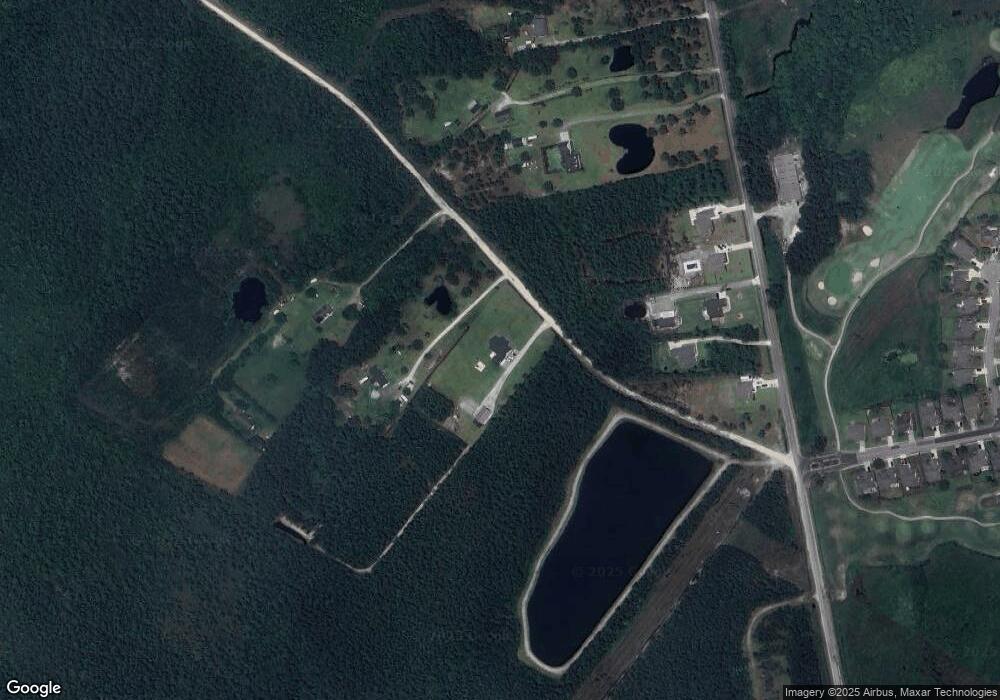
Map
- 2463 Hoover Rd
- 85 Highlands Dr
- 35 Scotlands Ct
- 51 Castle Bay Dr
- 155 Sir Walter Ct
- 728 Highlands Dr
- 502B Castle Bay Dr
- 66 Tree Top Ct
- 217 Woodside Dr
- 890 Wolf Pond Rd
- 48 W Pioneer Way Unit 124
- 44 W Pioneer Way Unit 125
- 69 W Pioneer Way Unit 106
- 75 W Pioneer Way Unit 105
- 83 W Pioneer Way Unit 103
- 40 W Pioneer Way Unit 126
- 79 W Pioneer Way Unit 104
- 36 W Pioneer Way Unit 127
- 65 W Pioneer Way Unit 107
- 53 W Pioneer Way Unit 110
Ask me questions while you tour the home.