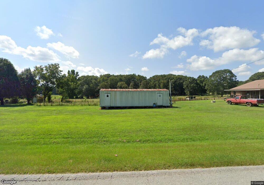
187 Shirley Rd Lavonia, GA 30553
Estimated Value: $276,000 - $390,877
2
Beds
1
Bath
1,564
Sq Ft
$219/Sq Ft
Est. Value
About This Home
This home is located at 187 Shirley Rd, Lavonia, GA 30553 and is currently estimated at $342,469, approximately $218 per square foot. 187 Shirley Rd is a home located in Hart County with nearby schools including Hart County High School.
Ownership History
Date
Name
Owned For
Owner Type
Purchase Details
Closed on
Aug 31, 2023
Sold by
West Joe William
Bought by
Sw East Lavonia Llc
Current Estimated Value
Home Financials for this Owner
Home Financials are based on the most recent Mortgage that was taken out on this home.
Original Mortgage
$1,591,000
Interest Rate
6.9%
Mortgage Type
New Conventional
Purchase Details
Closed on
May 1, 1990
Create a Home Valuation Report for This Property
The Home Valuation Report is an in-depth analysis detailing your home's value as well as a comparison with similar homes in the area
Home Values in the Area
Average Home Value in this Area
Purchase History
| Date | Buyer | Sale Price | Title Company |
|---|---|---|---|
| Sw East Lavonia Llc | $258,000 | -- | |
| -- | $11,200 | -- |
Source: Public Records
Mortgage History
| Date | Status | Borrower | Loan Amount |
|---|---|---|---|
| Closed | Sw East Lavonia Llc | $1,591,000 |
Source: Public Records
Tax History Compared to Growth
Tax History
| Year | Tax Paid | Tax Assessment Tax Assessment Total Assessment is a certain percentage of the fair market value that is determined by local assessors to be the total taxable value of land and additions on the property. | Land | Improvement |
|---|---|---|---|---|
| 2024 | $1,018 | $123,402 | $47,673 | $75,729 |
| 2023 | $1,384 | $123,100 | $35,085 | $88,015 |
| 2022 | $1,464 | $112,466 | $34,402 | $78,064 |
| 2021 | $1,386 | $94,513 | $28,694 | $65,819 |
| 2020 | $1,384 | $89,233 | $26,179 | $63,054 |
| 2019 | $1,351 | $87,023 | $26,179 | $60,844 |
| 2018 | $1,390 | $88,354 | $26,179 | $62,175 |
| 2017 | $1,382 | $87,658 | $26,179 | $61,479 |
| 2016 | $1,415 | $83,562 | $21,885 | $61,677 |
| 2015 | $1,334 | $87,628 | $25,275 | $62,353 |
| 2014 | $1,316 | $79,926 | $19,653 | $60,273 |
| 2013 | -- | $81,196 | $19,653 | $61,542 |
Source: Public Records
Map
Nearby Homes
- 346 Park Place Dr Unit LOT 5
- 310 Park Place Dr Unit LOT 3
- 222 Charity Dr
- 181 Charity Dr
- 56 Harriet Dr
- 68 Harriet Dr
- 125 Charity Dr
- 271 Harbor Light Marina Rd
- 714 Rocky Ford Rd
- 0 Arrow Ln Unit 10489148
- 0 Bow Dr Unit 10349224
- 0 Bow Dr Unit 20241348
- 353 Bow Dr
- 142 Water Oak Dell Dr
- 1192 Rocky Ford Rd
- 2276 Providence Church Rd
- 0 Harbor Light Marina Rd Unit 20280801
- 0 Harbor Light Marina Rd Unit 10406821
- 0 State Route 366
- LOT TBD 3 State Route 366
- 3253 Parkertown Rd
- 345 Shirley Rd
- 3161 Parkertown Rd
- 330 Shirley Rd
- 3159 Parkertown Rd
- 3081 Parkertown Rd
- 3451 Parkertown Rd
- 2993 Parkertown Rd
- 2971 Parkertown Rd
- 4178 Providence Church Rd
- 3773 Providence Church Rd
- 2937 Parkertown Rd
- 3561 Parkertown Rd
- 3172 Parkertown Rd
- 3711 Providence Church Rd
- 0 Parkertown Rd
- 0 Parkertown Rd Unit 8833617
- 0 Parkertown Rd Unit 7127628
- 0 Parkertown Rd Unit 3126889
- 0 Parkertown Rd Unit 8221174