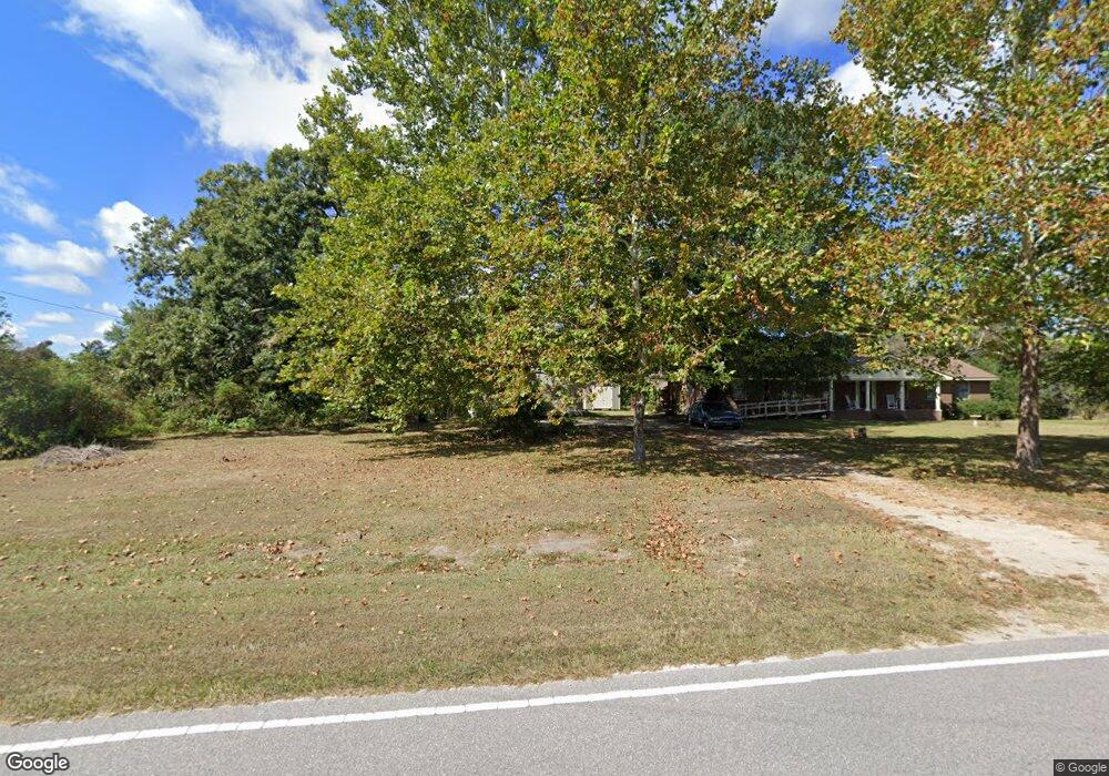
187 Swansons Rd Louisburg, NC 27549
Estimated Value: $266,000 - $333,000
3
Beds
2
Baths
1,728
Sq Ft
$167/Sq Ft
Est. Value
About This Home
This home is located at 187 Swansons Rd, Louisburg, NC 27549 and is currently estimated at $288,651, approximately $167 per square foot. 187 Swansons Rd is a home located in Franklin County with nearby schools including Edward Best Elementary School, Terrell Lane Middle School, and Louisburg High School.
Ownership History
Date
Name
Owned For
Owner Type
Purchase Details
Closed on
Jan 19, 2023
Sold by
Gupton Denise G
Bought by
Gupton Samuel J
Current Estimated Value
Home Financials for this Owner
Home Financials are based on the most recent Mortgage that was taken out on this home.
Original Mortgage
$66,000
Outstanding Balance
$63,433
Interest Rate
5.5%
Mortgage Type
New Conventional
Estimated Equity
$225,218
Create a Home Valuation Report for This Property
The Home Valuation Report is an in-depth analysis detailing your home's value as well as a comparison with similar homes in the area
Home Values in the Area
Average Home Value in this Area
Purchase History
| Date | Buyer | Sale Price | Title Company |
|---|---|---|---|
| Gupton Samuel J | -- | -- |
Source: Public Records
Mortgage History
| Date | Status | Borrower | Loan Amount |
|---|---|---|---|
| Open | Gupton Samuel J | $66,000 |
Source: Public Records
Tax History Compared to Growth
Tax History
| Year | Tax Paid | Tax Assessment Tax Assessment Total Assessment is a certain percentage of the fair market value that is determined by local assessors to be the total taxable value of land and additions on the property. | Land | Improvement |
|---|---|---|---|---|
| 2025 | $1,453 | $226,610 | $42,750 | $183,860 |
| 2024 | $1,453 | $226,610 | $42,750 | $183,860 |
| 2023 | $1,258 | $131,530 | $14,080 | $117,450 |
| 2022 | $1,248 | $131,530 | $14,080 | $117,450 |
| 2021 | $1,261 | $131,530 | $14,080 | $117,450 |
| 2020 | $1,268 | $131,530 | $14,080 | $117,450 |
| 2019 | $1,258 | $131,530 | $14,080 | $117,450 |
| 2018 | $1,250 | $131,530 | $14,080 | $117,450 |
| 2017 | $1,376 | $133,540 | $12,800 | $120,740 |
| 2016 | $1,422 | $133,540 | $12,800 | $120,740 |
| 2015 | $1,422 | $133,540 | $12,800 | $120,740 |
| 2014 | $1,327 | $133,540 | $12,800 | $120,740 |
Source: Public Records
Map
Nearby Homes
- 0 Shortleaf Dr Unit 10119597
- 15 Gina Lee Terrace
- Cypress Springs Dr
- 0 Cypress Creek Dr
- 0 Stallings Mill Rd
- 00 Stallings Mill Rd Unit LotWP007
- 00 Stallings Mill Rd Unit LotWP005
- 00 Stallings Mill Rd Unit LotWP004
- 00 Stallings Mill Rd Unit LotWP003
- 0 Poker Shake Ln Unit 10103109
- 0 Poker Shake Ln Unit 10103058
- 4 Copeland Way
- 5 Copeland Way
- 6 Copeland Way
- 3 Copeland Way
- 7 Copeland Way
- 2 Copeland Way
- 2329 N Carolina 561
- 317 Brewer Rd
- Lot 18 Cypress Springs Dr
- 161 Swansons Rd
- 161 Swansons Rd
- 15 Shortleaf Dr
- 25 Shortleaf Dr
- LOT 2 Shortleaf Dr
- 0 Shortleaf Dr Unit 1938205
- 0 Shortleaf Dr Unit 1938238
- 0 Shortleaf Dr Unit 1938199
- LOT 75 Shortleaf Dr
- LOT 4 Shortleaf Dr
- LOT 6 Shortleaf Dr
- LOT 5 Shortleaf Dr
- LOT 76 Shortleaf Dr
- LOT 73 Shortleaf Dr
- LOT 74 Shortleaf Dr
- 00 Shortleaf Dr
- LOT 78 Shortleaf Dr
- LOT 77 Shortleaf Dr
- LOT 3 Shortleaf Dr
- 00 Shortleaf Dr Unit 3