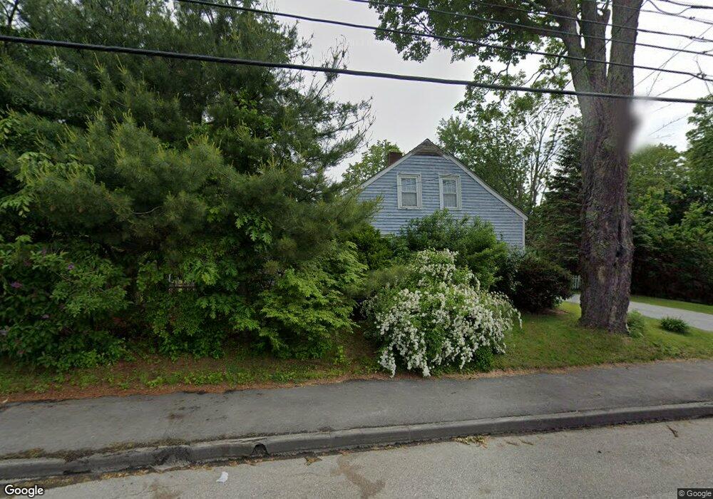
187 Waldo Ave Belfast, ME 04915
Estimated Value: $282,000 - $347,769
3
Beds
1
Bath
850
Sq Ft
$370/Sq Ft
Est. Value
About This Home
This home is located at 187 Waldo Ave, Belfast, ME 04915 and is currently estimated at $314,692, approximately $370 per square foot. 187 Waldo Ave is a home located in Waldo County with nearby schools including Cornerspring Children's House and The School At Sweetser - Belfast.
Create a Home Valuation Report for This Property
The Home Valuation Report is an in-depth analysis detailing your home's value as well as a comparison with similar homes in the area
Home Values in the Area
Average Home Value in this Area
Tax History Compared to Growth
Tax History
| Year | Tax Paid | Tax Assessment Tax Assessment Total Assessment is a certain percentage of the fair market value that is determined by local assessors to be the total taxable value of land and additions on the property. | Land | Improvement |
|---|---|---|---|---|
| 2024 | $3,599 | $233,700 | $60,000 | $173,700 |
| 2023 | $3,043 | $151,400 | $45,000 | $106,400 |
| 2022 | $3,161 | $147,700 | $45,000 | $102,700 |
| 2021 | $3,249 | $147,700 | $45,000 | $102,700 |
| 2020 | $3,360 | $144,200 | $45,000 | $99,200 |
| 2019 | $2,963 | $129,400 | $30,000 | $99,400 |
| 2018 | $2,937 | $129,400 | $30,000 | $99,400 |
| 2017 | $2,623 | $129,400 | $30,000 | $99,400 |
| 2016 | $454 | $129,400 | $30,000 | $99,400 |
| 2015 | $2,885 | $128,800 | $30,000 | $98,800 |
| 2014 | $2,789 | $128,800 | $30,000 | $98,800 |
| 2013 | $2,679 | $128,800 | $30,000 | $98,800 |
Source: Public Records
Map
Nearby Homes
- 225 Waldo Ave
- 0 Merriam Rd
- 000 Merriam Rd
- 388 High St
- 97 Robbins Rd
- 0 Robbins Rd Unit 1634953
- 40 Robbins Rd
- 51 Bridge St
- 0 Patterson Hill Rd Unit Lot 2 1614981
- 17 Footbridge Rd
- 208 High St
- 28 Charles St
- 2 Swan Lake Ave
- 6 Daniel Dr
- 53 Lincolnville Ave
- 20 Springbrook Dr Unit TH-6
- 31 Franklin St
- 28 Springbrook Dr Unit TH-10
- 45 Brooke Ave
- 38 Spring St