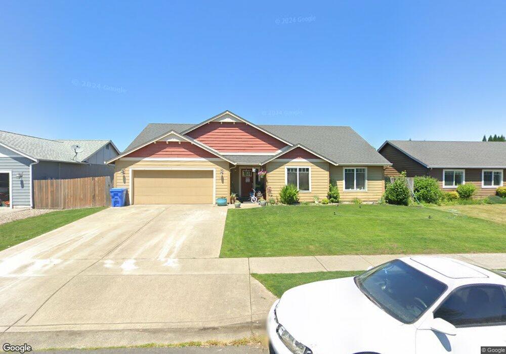
187 Wyatt Dr Kelso, WA 98626
Lexington NeighborhoodEstimated Value: $451,000 - $480,000
3
Beds
2
Baths
1,775
Sq Ft
$261/Sq Ft
Est. Value
About This Home
This home is located at 187 Wyatt Dr, Kelso, WA 98626 and is currently estimated at $463,912, approximately $261 per square foot. 187 Wyatt Dr is a home located in Cowlitz County with nearby schools including Beacon Hill Elementary School, Huntington Middle School, and Kelso High School.
Ownership History
Date
Name
Owned For
Owner Type
Purchase Details
Closed on
Mar 30, 2018
Sold by
Parcel David L
Bought by
Parcel David L and Parcel Mary F
Current Estimated Value
Purchase Details
Closed on
Sep 7, 2011
Sold by
Karlsen Development Llc
Bought by
Parcel David L
Home Financials for this Owner
Home Financials are based on the most recent Mortgage that was taken out on this home.
Original Mortgage
$210,000
Outstanding Balance
$155,575
Interest Rate
4.48%
Mortgage Type
Purchase Money Mortgage
Estimated Equity
$308,337
Purchase Details
Closed on
Jan 8, 2010
Sold by
Federal Deposit Insurance Corporation
Bought by
First Citizens Bank & Trust Company
Purchase Details
Closed on
Dec 4, 2008
Sold by
Sound Built Homes Inc
Bought by
Venture Bank
Purchase Details
Closed on
Nov 16, 2007
Sold by
First Citizens Bank & Trust Company
Bought by
Karlsen Development Llc
Create a Home Valuation Report for This Property
The Home Valuation Report is an in-depth analysis detailing your home's value as well as a comparison with similar homes in the area
Home Values in the Area
Average Home Value in this Area
Purchase History
| Date | Buyer | Sale Price | Title Company |
|---|---|---|---|
| Parcel David L | -- | None Available | |
| Parcel David L | $47,812 | Cowlitz County Title Company | |
| First Citizens Bank & Trust Company | -- | Cascade Title Co | |
| Venture Bank | -- | None Available | |
| Karlsen Development Llc | $71,400 | Cascade Title Co |
Source: Public Records
Mortgage History
| Date | Status | Borrower | Loan Amount |
|---|---|---|---|
| Open | Parcel David L | $210,000 |
Source: Public Records
Tax History Compared to Growth
Tax History
| Year | Tax Paid | Tax Assessment Tax Assessment Total Assessment is a certain percentage of the fair market value that is determined by local assessors to be the total taxable value of land and additions on the property. | Land | Improvement |
|---|---|---|---|---|
| 2024 | $5,851 | $415,860 | $53,250 | $362,610 |
| 2023 | $5,551 | $415,890 | $53,250 | $362,640 |
| 2022 | $5,004 | $408,870 | $53,250 | $355,620 |
| 2021 | $1,439 | $70,624 | $0 | $70,624 |
| 2020 | $1,492 | $302,300 | $46,300 | $256,000 |
| 2019 | $1,408 | $302,780 | $46,288 | $256,492 |
| 2018 | $1,327 | $254,820 | $46,290 | $208,530 |
| 2017 | $1,299 | $224,940 | $44,080 | $180,860 |
| 2016 | $1,237 | $202,160 | $41,200 | $160,960 |
| 2015 | $1,256 | $188,240 | $41,200 | $147,040 |
| 2013 | -- | $167,550 | $40,000 | $127,550 |
Source: Public Records
Map
Nearby Homes
- 202 Wyatt Dr
- 310 Lexington Ave
- 109 Indigo Ct
- 99 Rainbow Way Unit 1
- 106 Villa Rd
- 304 Lexington Ave
- 215 Sparks Dr
- 1450 Westside Hwy Unit 36
- 118 Adams Dr
- 123 Wilshire Way
- 143 Balboa Loop
- 650 Rainbow Way
- 244 Sparks Dr
- 147 Alameda Dr
- 566 Rainbow Way
- 126 Westminster Dr
- 178 Decatur Dr
- 157 Chickadee Dr
- 201 Ponderosa Dr
- 175 Shoreview Dr