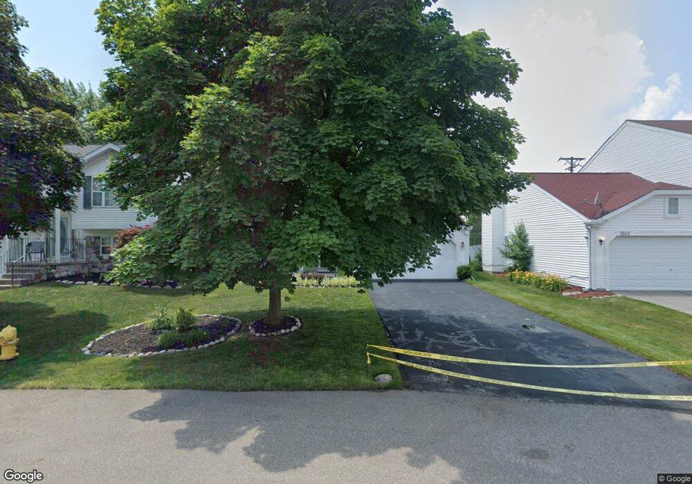
1870 Dunn Ct Unit Bldg-Unit Westland, MI 48186
Estimated Value: $279,302 - $308,000
--
Bed
3
Baths
1,460
Sq Ft
$202/Sq Ft
Est. Value
About This Home
This home is located at 1870 Dunn Ct Unit Bldg-Unit, Westland, MI 48186 and is currently estimated at $295,076, approximately $202 per square foot. 1870 Dunn Ct Unit Bldg-Unit is a home located in Wayne County with nearby schools including Adlai Stevenson Middle School, Wayne Memorial High School, and St Michael Lutheran School.
Ownership History
Date
Name
Owned For
Owner Type
Purchase Details
Closed on
May 15, 2017
Sold by
Singh Kaushlndra and Dixit Neelam
Bought by
Singh Kaushlndra
Current Estimated Value
Purchase Details
Closed on
Aug 2, 2005
Sold by
Yalamanchi Babu and Yalamanchi Sulohitha
Bought by
Singh Kaushlendra
Purchase Details
Closed on
May 10, 1996
Sold by
Terrence P Duperron and Terrence Je
Bought by
Sugar Timothy J and Sugar Cheryl L
Create a Home Valuation Report for This Property
The Home Valuation Report is an in-depth analysis detailing your home's value as well as a comparison with similar homes in the area
Home Values in the Area
Average Home Value in this Area
Purchase History
| Date | Buyer | Sale Price | Title Company |
|---|---|---|---|
| Singh Kaushlndra | -- | None Available | |
| Singh Kaushlendra | $182,000 | Multiple | |
| Sugar Timothy J | $120,000 | -- |
Source: Public Records
Tax History Compared to Growth
Tax History
| Year | Tax Paid | Tax Assessment Tax Assessment Total Assessment is a certain percentage of the fair market value that is determined by local assessors to be the total taxable value of land and additions on the property. | Land | Improvement |
|---|---|---|---|---|
| 2025 | $3,763 | $127,500 | $0 | $0 |
| 2024 | $3,763 | $119,200 | $0 | $0 |
| 2023 | $3,590 | $110,000 | $0 | $0 |
| 2022 | $3,880 | $92,700 | $0 | $0 |
| 2021 | $3,796 | $87,400 | $0 | $0 |
| 2020 | $3,757 | $80,500 | $0 | $0 |
| 2019 | $3,643 | $76,600 | $0 | $0 |
| 2018 | $2,071 | $70,200 | $0 | $0 |
| 2017 | $850 | $66,400 | $0 | $0 |
| 2016 | $2,571 | $66,000 | $0 | $0 |
| 2015 | $5,110 | $59,560 | $0 | $0 |
| 2013 | $4,954 | $51,900 | $0 | $0 |
| 2012 | $2,434 | $50,580 | $0 | $0 |
Source: Public Records
Map
Nearby Homes
- 38185 Palmateer Rd
- 38692 Watson Cir
- 2601 Dagner Dr
- 1639 Tulip Ln
- 1786 Daisey Ln Unit 32
- 00000 Avondale St
- 00 S Newburgh Rd
- 0 S Newburgh Rd
- 3020 Rivers Edge Dr
- 39258 Avondale St
- 3018 Rivers Edge Dr N
- 2268 Minerva St
- 2610 Hannan Rd
- 2618 Hannan Rd
- 3329 S Newburgh Rd
- 2232 Wilshire St
- 39288 Nottingham St
- 477 Barchester St
- 44312 Wilmington Dr
- 36753 Greenbush Rd
- 1870 Dunn Ct Unit 5
- 1850 Dunn Ct
- 1890 Dunn Ct
- 1910 Dunn Ct
- 1830 Dunn Ct Unit 2
- 38343 Palmer Rd
- 1881 Dunn Ct Unit 4
- 1930 Dunn Ct Unit 8
- 1810 Dunn Ct Unit 1
- 38363 Palmer Rd
- 1950 Dunn Ct Unit 9
- 1870 Stockmeyer Blvd Unit 12
- 38270 N Williams Cir Unit Bldg-Unit
- 38270 N Williams Cir Unit 93
- 1890 Stockmeyer Blvd
- 1910 Stockmeyer Blvd
- 1970 Dunn Ct Unit 10
- 1981 E Williams Cir
- 1930 Stockmeyer Blvd
- 1971 Dunn Ct Unit 11