1870 E Sterling Rd Jonesville, MI 49250
Estimated Value: $268,000 - $336,736
--
Bed
--
Bath
1,280
Sq Ft
$229/Sq Ft
Est. Value
About This Home
This home is located at 1870 E Sterling Rd, Jonesville, MI 49250 and is currently estimated at $293,245, approximately $229 per square foot. 1870 E Sterling Rd is a home with nearby schools including Williams Elementary School, Jonesville Middle School, and Jonesville High School.
Ownership History
Date
Name
Owned For
Owner Type
Purchase Details
Closed on
Jun 19, 2014
Sold by
Bussell Henly R and Bussell Gladys L
Bought by
Helmuth Matthew A and Helmuth Annette H
Current Estimated Value
Purchase Details
Closed on
Apr 16, 2014
Sold by
Bussell Henly R and Bussell Gladys L
Bought by
Helmuth Matthew A and Helmuth Annette H
Purchase Details
Closed on
Aug 19, 1996
Sold by
Roberts Jacquelyn J
Bought by
Roberts David A
Purchase Details
Closed on
Dec 7, 1990
Sold by
Alcock Terry
Bought by
Roberts David A and Roberts Jacquelyn J
Create a Home Valuation Report for This Property
The Home Valuation Report is an in-depth analysis detailing your home's value as well as a comparison with similar homes in the area
Home Values in the Area
Average Home Value in this Area
Purchase History
| Date | Buyer | Sale Price | Title Company |
|---|---|---|---|
| Helmuth Matthew A | $79,000 | None Available | |
| Helmuth Matthew A | -- | Midstate Title | |
| Roberts David A | -- | -- | |
| Roberts David A | $19,000 | -- |
Source: Public Records
Tax History Compared to Growth
Tax History
| Year | Tax Paid | Tax Assessment Tax Assessment Total Assessment is a certain percentage of the fair market value that is determined by local assessors to be the total taxable value of land and additions on the property. | Land | Improvement |
|---|---|---|---|---|
| 2025 | $2,442 | $146,000 | $0 | $0 |
| 2024 | $950 | $128,500 | $0 | $0 |
| 2023 | $905 | $113,900 | $0 | $0 |
| 2022 | $2,223 | $99,400 | $0 | $0 |
| 2021 | $2,157 | $91,800 | $0 | $0 |
| 2020 | $3,502 | $88,500 | $0 | $0 |
| 2019 | $3,398 | $73,600 | $0 | $0 |
| 2018 | $1,555 | $35,040 | $0 | $0 |
| 2017 | $1,506 | $35,090 | $0 | $0 |
| 2016 | $1,486 | $33,040 | $0 | $0 |
| 2015 | $362 | $33,040 | $0 | $0 |
| 2013 | $273 | $24,930 | $0 | $0 |
| 2012 | $287 | $34,740 | $0 | $0 |
Source: Public Records
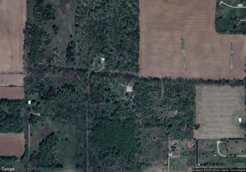
Map
Nearby Homes
- 1477 E Hastings Lake Rd
- 0 Oakridge Dr
- 10180 Milnes Rd
- VL Rowe Rd
- 463 E Chicago St
- 400 Parkwood Dr
- 301 Village Ln
- 11091 Milnes Rd
- 321 North St
- 409 Evans St
- 410 Clinton St
- 205 Maumee St
- 207 Maumee St
- 3714 W Hastings Lake Rd
- 11263 Winfield Rd
- 10420 E Mosherville Rd
- 11416 Concord Rd
- 2752 W Mosherville Rd
- 331 Jonesville Rd
- 11500 Goose Lake Rd
- 1830 E Sterling Rd
- 1890 E Sterling Rd
- 1920 E Sterling Rd
- 8278 Pope Rd
- 8074 Pope Rd
- 1600 E Sterling Rd
- 8220 Pope Rd
- 8380 Pope Rd
- 1940 E Sterling Rd
- 0 E Sterling Rd Unit 16012566
- 0 E Sterling Rd
- 0 E Sterling Rd Unit 2525773
- 0 E Sterling Rd Unit 12077
- 0 E Sterling Rd Unit 10012904
- 8151 Pope Rd
- 1751 E Sterling Rd
- 1971 E Sterling Rd
- 1939 E Sterling Rd
- 1943 E Sterling Rd
- 8531 Pope Rd