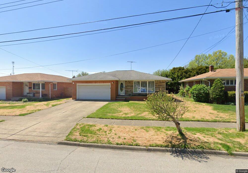
1870 Gless Ave Akron, OH 44301
Firestone Park NeighborhoodEstimated Value: $160,000 - $183,000
3
Beds
2
Baths
1,487
Sq Ft
$117/Sq Ft
Est. Value
About This Home
This home is located at 1870 Gless Ave, Akron, OH 44301 and is currently estimated at $173,673, approximately $116 per square foot. 1870 Gless Ave is a home located in Summit County with nearby schools including Kenmore Garfield Community Learning Center, Eagle Elementary, and Main Preparatory Academy.
Ownership History
Date
Name
Owned For
Owner Type
Purchase Details
Closed on
Oct 16, 2023
Sold by
Meyer Family Trust
Bought by
Haines Daylin L and Haines Damon L
Current Estimated Value
Home Financials for this Owner
Home Financials are based on the most recent Mortgage that was taken out on this home.
Original Mortgage
$128,250
Outstanding Balance
$125,287
Interest Rate
7.18%
Mortgage Type
New Conventional
Estimated Equity
$48,386
Create a Home Valuation Report for This Property
The Home Valuation Report is an in-depth analysis detailing your home's value as well as a comparison with similar homes in the area
Home Values in the Area
Average Home Value in this Area
Purchase History
| Date | Buyer | Sale Price | Title Company |
|---|---|---|---|
| Haines Daylin L | $135,000 | None Listed On Document |
Source: Public Records
Mortgage History
| Date | Status | Borrower | Loan Amount |
|---|---|---|---|
| Open | Haines Daylin L | $128,250 |
Source: Public Records
Tax History
| Year | Tax Paid | Tax Assessment Tax Assessment Total Assessment is a certain percentage of the fair market value that is determined by local assessors to be the total taxable value of land and additions on the property. | Land | Improvement |
|---|---|---|---|---|
| 2024 | $2,365 | $53,603 | $9,328 | $44,275 |
| 2023 | $20,001 | $53,603 | $9,328 | $44,275 |
| 2022 | $2,133 | $38,844 | $6,759 | $32,085 |
| 2021 | $2,136 | $38,844 | $6,759 | $32,085 |
| 2020 | $2,105 | $38,850 | $6,760 | $32,090 |
| 2019 | $2,173 | $37,050 | $6,760 | $30,290 |
| 2018 | $2,145 | $37,050 | $6,760 | $30,290 |
| 2017 | $2,094 | $37,050 | $6,760 | $30,290 |
| 2016 | $2,096 | $37,050 | $6,760 | $30,290 |
| 2015 | $2,094 | $37,050 | $6,760 | $30,290 |
| 2014 | $2,077 | $37,050 | $6,760 | $30,290 |
| 2013 | $2,035 | $37,050 | $6,760 | $30,290 |
Source: Public Records
Map
Nearby Homes
- 502 E Woodsdale Ave
- 1878 Carter Ave Unit 1880
- 1810 Carter Ave
- 1726 Coventry St
- 1699 Redwood Ave
- 1708 Highview Ave
- 1645 Hammel St
- 416 Rockys Run Rd
- 367 Wayne Ave
- 2162 Canterbury Cir
- 0 Woodview Dr
- 695 Cooper Ave
- 1646 Highview Ave
- 1835 Thornapple Ave
- 1612 Oakwood Ave
- 1620 Highview Ave
- 231 E Dresden Ave
- 2069 Penguin Ave
- 457 S Firestone Blvd
- 248 E Catawba Ave
- 1876 Gless Ave
- 1864 Gless Ave
- 1871 Redwood Ave
- 1865 Redwood Ave
- 1881 1885 Redwood Ave
- 1881 Redwood Ave Unit 1885
- 1875 Gless Ave
- 1869 Gless Ave
- 1856 Gless Ave
- 1888 Gless Ave
- 1881 Gless Ave
- 1863 Gless Ave
- 1859 Redwood Ave
- 1857 Gless Ave
- 1878 Redwood Ave Unit 1880
- 1887 Gless Ave
- 1870 Redwood Ave Unit 1872
- 1853 Gless Ave
- 492 E Woodsdale Ave
- 1884 Redwood Ave Unit 1886
Your Personal Tour Guide
Ask me questions while you tour the home.