Estimated Value: $352,000 - $485,000
3
Beds
3
Baths
1,703
Sq Ft
$247/Sq Ft
Est. Value
About This Home
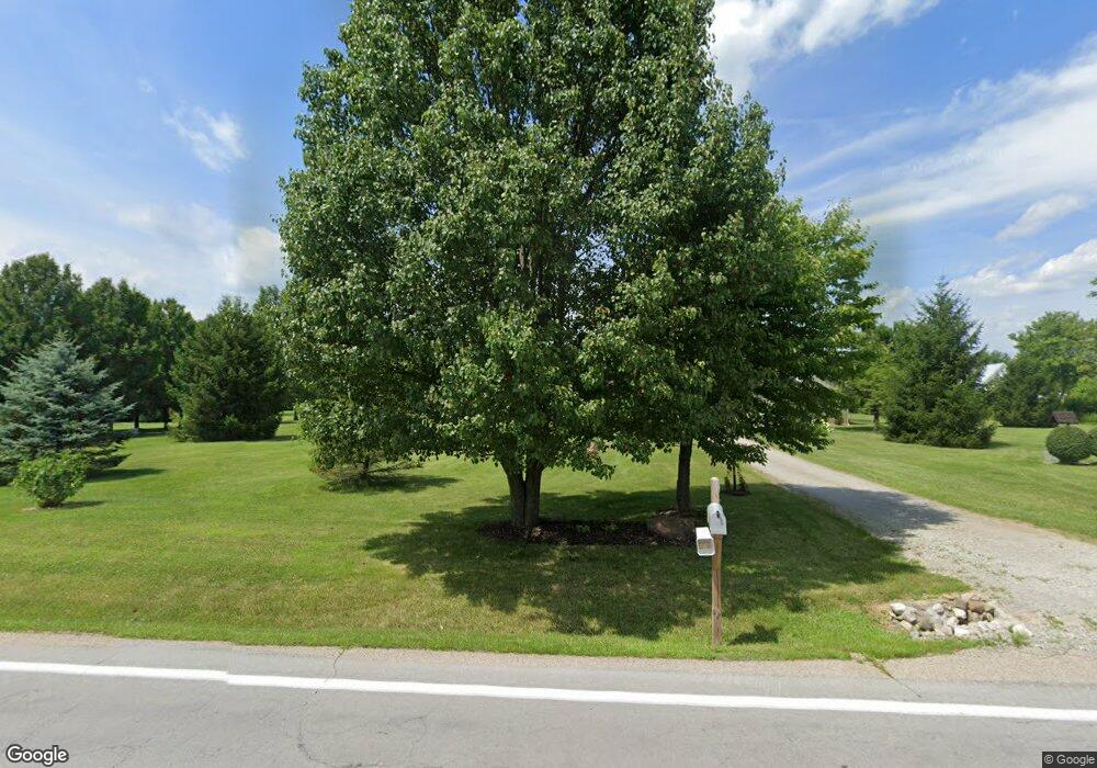
This home is located at 1870 Lower Bellbrook Rd, Xenia, OH 45385 and is currently estimated at $419,998, approximately $246 per square foot. 1870 Lower Bellbrook Rd is a home located in Greene County with nearby schools including Xenia High School and Summit Academy Community School for Alternative Learners - Xenia.
Ownership History
Date
Name
Owned For
Owner Type
Purchase Details
Closed on
Dec 1, 2017
Sold by
Cornelison Ronald E and Cornelison Jo Ann
Bought by
Davis Michael W
Current Estimated Value
Purchase Details
Closed on
Sep 3, 1999
Sold by
Meyer William H and Meyer Martha Jean
Bought by
Cornelison Ronald E and Cornelison Jo Ann
Home Financials for this Owner
Home Financials are based on the most recent Mortgage that was taken out on this home.
Original Mortgage
$125,000
Interest Rate
7%
Purchase Details
Closed on
Apr 28, 1998
Sold by
Penewit Raby Robin Louise
Bought by
Meyer William H and Meyer Martha Jean
Create a Home Valuation Report for This Property
The Home Valuation Report is an in-depth analysis detailing your home's value as well as a comparison with similar homes in the area
Home Values in the Area
Average Home Value in this Area
Purchase History
| Date | Buyer | Sale Price | Title Company |
|---|---|---|---|
| Davis Michael W | -- | -- | |
| Cornelison Ronald E | -- | -- | |
| Meyer William H | $31,500 | -- |
Source: Public Records
Mortgage History
| Date | Status | Borrower | Loan Amount |
|---|---|---|---|
| Previous Owner | Cornelison Ronald E | $125,000 |
Source: Public Records
Tax History Compared to Growth
Tax History
| Year | Tax Paid | Tax Assessment Tax Assessment Total Assessment is a certain percentage of the fair market value that is determined by local assessors to be the total taxable value of land and additions on the property. | Land | Improvement |
|---|---|---|---|---|
| 2024 | $4,378 | $108,100 | $31,250 | $76,850 |
| 2023 | $4,378 | $108,100 | $31,250 | $76,850 |
| 2022 | $4,442 | $85,440 | $29,300 | $56,140 |
| 2021 | $5,006 | $85,440 | $29,300 | $56,140 |
| 2020 | $4,587 | $85,440 | $29,300 | $56,140 |
| 2019 | $4,217 | $73,600 | $24,790 | $48,810 |
| 2018 | $4,159 | $73,550 | $24,790 | $48,760 |
| 2017 | $3,972 | $73,550 | $24,790 | $48,760 |
| 2016 | $3,920 | $70,870 | $24,090 | $46,780 |
| 2015 | $3,930 | $70,870 | $24,090 | $46,780 |
| 2014 | $3,771 | $70,870 | $24,090 | $46,780 |
Source: Public Records
Map
Nearby Homes
- 1591 Valley Heights Rd
- 2185 Tanbark Trail
- 102 Water St
- 1753 Cedar Ridge Dr
- 196 Mound St
- 1061 Mcpherson Rd
- 1711 Mcclellan Rd
- 2230 Little Miami Dr
- Henley Plan at Edenbridge
- Holcombe Plan at Edenbridge
- Newcastle Plan at Edenbridge
- Bellamy Plan at Edenbridge
- Chatham Plan at Edenbridge
- 1474 Hawkshead St
- 1068 Hedges Rd
- 1272 Baybury Ave
- 1292 Baybury Ave
- 1293 Baybury Ave
- 2821 Raxit Ct
- 2852 Raxit Ct
- 1820 Lower Bellbrook Rd
- 1859 Lower Bellbrook Rd
- 1750 Sunnymeade Rd
- 1730 Sunnymeade Rd
- 1810 Sunnymeade Rd
- 1714 Sunnymeade Rd
- 1800 Lower Bellbrook Rd
- 1682 Sunnymeade Rd
- 1899 Lower Bellbrook Rd
- 1689 Sunnymeade Rd
- 27.183ac Lower Bellbrook Rd
- 1907 Lower Bellbrook Rd
- 1781 Sunnymeade Rd
- 1669 Sunnymeade Rd
- 1660 Sunnymeade Rd
- 1801 Washington Mill Rd
- 1763 Washington Mill Rd
- 1819 Washington Mill Rd
- 1648 Sunnymeade Rd
- 1929 Lower Bellbrook Rd