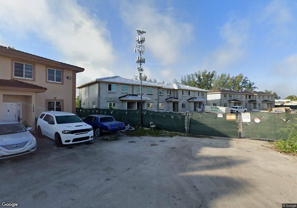
1870 NW 142nd Ln Opa Locka, FL 33054
Estimated Value: $304,000 - $340,000
4
Beds
2
Baths
1,380
Sq Ft
$237/Sq Ft
Est. Value
About This Home
This home is located at 1870 NW 142nd Ln, Opa Locka, FL 33054 and is currently estimated at $326,739, approximately $236 per square foot. 1870 NW 142nd Ln is a home located in Miami-Dade County with nearby schools including Nathan B. Young Elementary School, North Dade Middle School, and Hialeah-Miami Lakes Senior High School.
Ownership History
Date
Name
Owned For
Owner Type
Purchase Details
Closed on
May 9, 2016
Sold by
Mirage At Sailboat Cove Llc
Bought by
Sailboat Miami Llc
Current Estimated Value
Purchase Details
Closed on
Feb 13, 2013
Sold by
Mcna Properties Ii Llc
Bought by
Mirage At Sailboat Cove Llc
Purchase Details
Closed on
Dec 27, 2010
Sold by
Mercantil Commercebank N A
Bought by
Mcna Properties Ii Llc
Purchase Details
Closed on
Nov 1, 2010
Sold by
Sailboat Cove Ventures Llc
Bought by
Mercantil Commercebank N A
Create a Home Valuation Report for This Property
The Home Valuation Report is an in-depth analysis detailing your home's value as well as a comparison with similar homes in the area
Home Values in the Area
Average Home Value in this Area
Purchase History
| Date | Buyer | Sale Price | Title Company |
|---|---|---|---|
| Sailboat Miami Llc | $2,100,000 | -- | |
| Mirage At Sailboat Cove Llc | $1,400,000 | -- | |
| Mcna Properties Ii Llc | -- | -- | |
| Mercantil Commercebank N A | $100 | -- |
Source: Public Records
Tax History Compared to Growth
Tax History
| Year | Tax Paid | Tax Assessment Tax Assessment Total Assessment is a certain percentage of the fair market value that is determined by local assessors to be the total taxable value of land and additions on the property. | Land | Improvement |
|---|---|---|---|---|
| 2025 | $5,684 | $226,109 | -- | -- |
| 2024 | $5,227 | $205,554 | -- | -- |
| 2023 | $5,227 | $190,550 | $0 | $0 |
| 2022 | $4,841 | $173,500 | $0 | $0 |
| 2021 | $910 | $16,335 | $0 | $0 |
| 2020 | $429 | $16,335 | $0 | $0 |
| 2019 | $430 | $16,335 | $0 | $0 |
| 2018 | $423 | $16,335 | $0 | $0 |
| 2017 | $414 | $16,335 | $0 | $0 |
| 2016 | $436 | $16,335 | $0 | $0 |
| 2015 | $424 | $16,335 | $0 | $0 |
| 2014 | $424 | $16,335 | $0 | $0 |
Source: Public Records
Map
Nearby Homes
- 14400 NW 16th Ct
- 1931 Wilmington St
- 2010 Rutland St
- 2097 Wilmington St
- 2060 Rutland St
- 14521 NW 16th Ct
- 14215 NW 22nd Ct
- 1981 Rutland St
- 2180 Rutland St
- 1897 Rutland St
- 14180 NW 22nd Ave Unit 4
- 14240 NW 22nd Ave Unit 3
- 14240 NW 22nd Ave Unit 2
- 2120 Service Rd
- 2246 Service Rd
- 1940 Ali Baba Ave
- 1950 Ali Baba Ave
- 2061 Washington Ave Unit 4
- 1830 NW 135th St
- 2013 Washington Ave
- 1874 NW 142nd Ln
- 1878 NW 142nd Ln
- 1866 NW 142nd Ln
- 1862 NW 142nd Ln
- 1882 NW 142nd Ln
- 1886 NW 142nd Ln
- 1858 NW 142nd Ln Unit 1858
- 1858 NW 142nd Ln
- 1858 NW 142nd Ln
- 1890 NW 142nd Ln
- 1879 NW 142nd Ln
- 1875 NW 142nd Ln
- 1854 NW 142nd Ln Unit 1854
- 1854 NW 142nd Ln
- 1854 NW 142nd Ln
- 1871 NW 142nd Ln
- 1894 NW 142nd Ln
- 1867 NW 142nd Ln
- 1850 NW 142nd Ln Unit 1850
- 1850 NW 142nd Ln