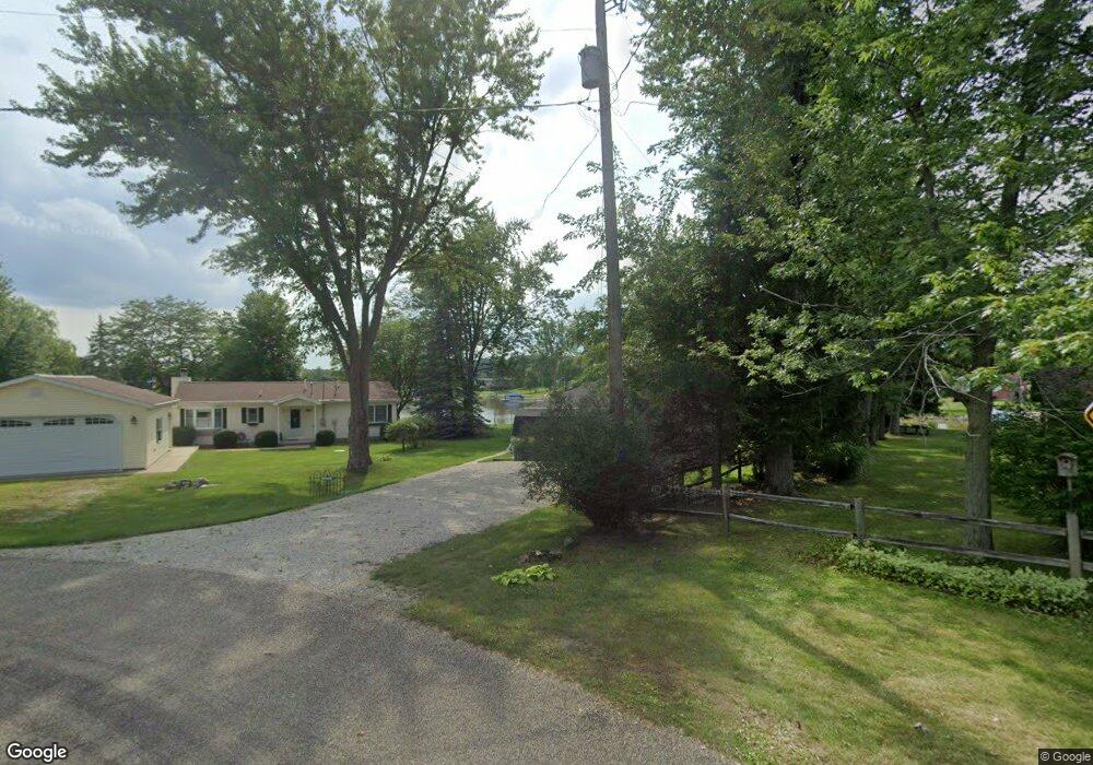
1870 Point Dr Camden, MI 49232
Estimated Value: $145,000 - $364,000
Studio
--
Bath
576
Sq Ft
$428/Sq Ft
Est. Value
About This Home
This home is located at 1870 Point Dr, Camden, MI 49232 and is currently estimated at $246,747, approximately $428 per square foot. 1870 Point Dr is a home with nearby schools including Camden-Frontier K-8 School and Camden-Frontier High School.
Ownership History
Date
Name
Owned For
Owner Type
Purchase Details
Closed on
Jun 8, 2017
Sold by
Williams David A and Williams Karen S
Bought by
Williams David A and Williams Karen S
Current Estimated Value
Purchase Details
Closed on
Jun 1, 2017
Sold by
Kay Cynthia M
Bought by
Williams David A and Williams Karen S
Purchase Details
Closed on
Apr 29, 2016
Sold by
Williams Anna Marie
Bought by
Williams David A and Kay Cynthia M
Purchase Details
Closed on
Jul 9, 2012
Sold by
Williams Anna Marie
Bought by
Williams Anna Marie
Purchase Details
Closed on
Jan 3, 1992
Sold by
Williams James A
Bought by
Williams Anna Marie
Purchase Details
Closed on
Jan 5, 1977
Bought by
Williams James A and Anna Marie
Create a Home Valuation Report for This Property
The Home Valuation Report is an in-depth analysis detailing your home's value as well as a comparison with similar homes in the area
Purchase History
| Date | Buyer | Sale Price | Title Company |
|---|---|---|---|
| Williams David A | -- | Attorney | |
| Williams David A | $62,500 | Attorney | |
| Williams David A | -- | Attorney | |
| Williams Anna Marie | -- | None Available | |
| Williams Anna Marie | -- | -- | |
| Williams James A | $2,900 | -- |
Source: Public Records
Tax History
| Year | Tax Paid | Tax Assessment Tax Assessment Total Assessment is a certain percentage of the fair market value that is determined by local assessors to be the total taxable value of land and additions on the property. | Land | Improvement |
|---|---|---|---|---|
| 2025 | $501 | $93,500 | $0 | $0 |
| 2024 | $5 | $84,000 | $0 | $0 |
| 2023 | $466 | $74,700 | $0 | $0 |
| 2022 | $2,193 | $69,800 | $0 | $0 |
| 2021 | $2,143 | $54,800 | $0 | $0 |
| 2020 | $2,146 | $53,700 | $0 | $0 |
| 2019 | $2,051 | $52,200 | $0 | $0 |
| 2018 | $1,994 | $51,100 | $0 | $0 |
| 2017 | $1,900 | $51,160 | $0 | $0 |
| 2016 | $1,888 | $45,770 | $0 | $0 |
| 2015 | $392 | $45,770 | $0 | $0 |
| 2013 | $380 | $54,000 | $0 | $0 |
| 2012 | $371 | $53,160 | $0 | $0 |
Source: Public Records
Map
Nearby Homes
- 14364 Horn Dr
- 14600 W Diane Dr
- 14934 Heather Ct
- 13551 Hillsdale Rd
- 13091 S Bird Lake Rd
- 623-624 Yuma Trail
- 460 Seneca Dr
- 0 Pontiac Trail Unit 10001711
- 988-989 Seneca Dr
- 207 Modoc Trail
- 155 Navajo Trail
- 169 Seneca Dr
- 0 W Territorial Rd Unit 11603977
- 600 Seneca Dr
- 234 Seneca Dr
- 638 Seneca Dr
- 1601 W Territorial Rd
- 145 Lumbee Ln
- 14621 Laura Ln
- 4002 & 4014 Meadowlawn Dr
- 1855 Point Dr
- 1846 Point Dr
- 1851 Point Dr
- 1822 Point Dr
- 1849 Point Dr
- 14303 Point Dr
- 14407 W Diane Dr
- 14423 W Diane Dr
- 14391 W Diane Dr
- 1810 Point Dr
- 14415 W Diane Dr
- 1795 Point Dr
- 14359 W Diane Dr
- 14431 W Diane Dr
- 14439 W Diane Dr
- 1798 Point Dr
- 14447 W Diane Dr
- 1777 Point Dr
- 1774 Point Dr
- 1786 Point Dr
Your Personal Tour Guide
Ask me questions while you tour the home.