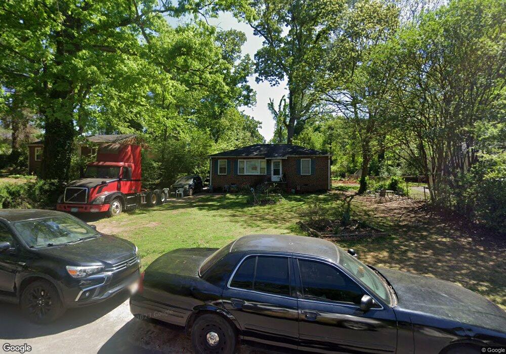
1870 Selwyn Dr Decatur, GA 30035
Southwest DeKalb NeighborhoodEstimated Value: $134,000 - $158,683
2
Beds
1
Bath
950
Sq Ft
$156/Sq Ft
Est. Value
About This Home
This home is located at 1870 Selwyn Dr, Decatur, GA 30035 and is currently estimated at $147,921, approximately $155 per square foot. 1870 Selwyn Dr is a home located in DeKalb County with nearby schools including Canby Lane Elementary School, Mary McLeod Bethune Middle School, and Towers High School.
Ownership History
Date
Name
Owned For
Owner Type
Purchase Details
Closed on
Dec 15, 1993
Sold by
Layton Lillian
Bought by
Wasdin Alan Pomelia
Current Estimated Value
Home Financials for this Owner
Home Financials are based on the most recent Mortgage that was taken out on this home.
Original Mortgage
$27,300
Interest Rate
7.14%
Create a Home Valuation Report for This Property
The Home Valuation Report is an in-depth analysis detailing your home's value as well as a comparison with similar homes in the area
Home Values in the Area
Average Home Value in this Area
Purchase History
| Date | Buyer | Sale Price | Title Company |
|---|---|---|---|
| Wasdin Alan Pomelia | $39,000 | -- |
Source: Public Records
Mortgage History
| Date | Status | Borrower | Loan Amount |
|---|---|---|---|
| Closed | Wasdin Alan Pomelia | $27,300 |
Source: Public Records
Tax History Compared to Growth
Tax History
| Year | Tax Paid | Tax Assessment Tax Assessment Total Assessment is a certain percentage of the fair market value that is determined by local assessors to be the total taxable value of land and additions on the property. | Land | Improvement |
|---|---|---|---|---|
| 2025 | $3,431 | $68,040 | $14,000 | $54,040 |
| 2024 | $3,473 | $69,120 | $14,000 | $55,120 |
| 2023 | $3,473 | $67,320 | $14,000 | $53,320 |
| 2022 | $2,365 | $46,080 | $4,840 | $41,240 |
| 2021 | $1,809 | $33,400 | $4,840 | $28,560 |
| 2020 | $1,640 | $29,560 | $4,840 | $24,720 |
| 2019 | $1,316 | $22,160 | $4,840 | $17,320 |
| 2018 | $1,114 | $22,000 | $4,840 | $17,160 |
| 2017 | $1,246 | $20,480 | $2,360 | $18,120 |
| 2016 | $1,047 | $15,920 | $2,360 | $13,560 |
| 2014 | $984 | $14,160 | $2,360 | $11,800 |
Source: Public Records
Map
Nearby Homes
- 1864 Selwyn Dr
- 1871 Clarke Ln
- 1882 Selwyn Dr
- 1865 Clarke Ln
- 1877 Clarke Ln
- 0 Selwyn Dr
- 4881 Glenwood Rd
- 4875 Glenwood Rd
- 1871 Selwyn Dr
- 1877 Selwyn Dr
- 1865 Selwyn Dr
- 1888 Selwyn Dr Unit 2
- 1883 Selwyn Dr
- 4865 Glenwood Rd
- 4893 Glenwood Rd
- 1889 Clarke Ln
- 0 Clarke Ln Unit 8091334
- 0 Clarke Ln Unit 3267920
- 0 Clarke Ln
- 1894 Selwyn Dr