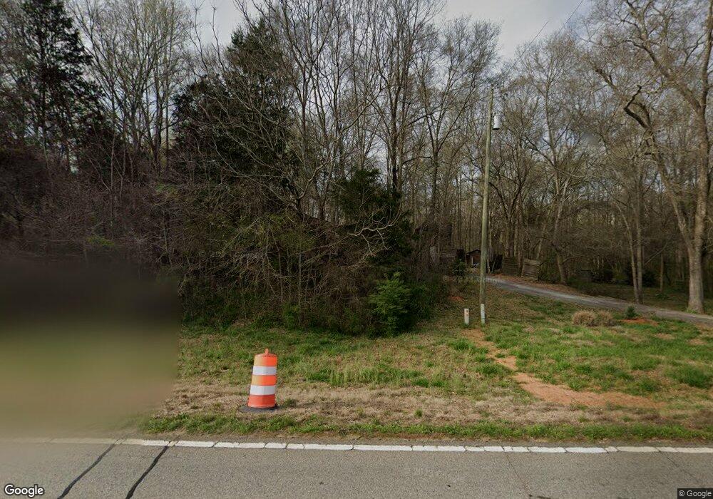
18700 Highway 59 Carnesville, GA 30521
Estimated Value: $313,513 - $317,000
3
Beds
2
Baths
1,735
Sq Ft
$182/Sq Ft
Est. Value
About This Home
This home is located at 18700 Highway 59, Carnesville, GA 30521 and is currently estimated at $315,628, approximately $181 per square foot. 18700 Highway 59 is a home located in Franklin County with nearby schools including Franklin County High School.
Ownership History
Date
Name
Owned For
Owner Type
Purchase Details
Closed on
Feb 21, 2019
Sold by
Garrett Wiley N
Bought by
The Wiley Nathan & Diane Sims Garrett Li
Current Estimated Value
Purchase Details
Closed on
Feb 13, 2018
Sold by
Garrett Wiley N
Bought by
Garrett Jonathn T and Garrett Diane S
Purchase Details
Closed on
Jul 27, 2004
Sold by
Cantrell David L
Bought by
Butler Jeff A
Purchase Details
Closed on
Jul 30, 2003
Sold by
Bohannon Loyd Trent
Bought by
Cantrell David L
Purchase Details
Closed on
Sep 6, 2002
Sold by
Stowe Deborah M
Bought by
Bohannon Loyd Trent
Purchase Details
Closed on
Jul 19, 1996
Bought by
Stowe Deborah M
Create a Home Valuation Report for This Property
The Home Valuation Report is an in-depth analysis detailing your home's value as well as a comparison with similar homes in the area
Purchase History
| Date | Buyer | Sale Price | Title Company |
|---|---|---|---|
| The Wiley Nathan & Diane Sims Garrett Li | -- | -- | |
| Garrett Jonathn T | -- | -- | |
| Garrett Wiley N | $157,000 | -- | |
| Butler Jeff A | $125,000 | -- | |
| Cantrell David L | $117,000 | -- | |
| Bohannon Loyd Trent | $105,000 | -- | |
| Stowe Deborah M | -- | -- |
Source: Public Records
Tax History
| Year | Tax Paid | Tax Assessment Tax Assessment Total Assessment is a certain percentage of the fair market value that is determined by local assessors to be the total taxable value of land and additions on the property. | Land | Improvement |
|---|---|---|---|---|
| 2025 | $2,712 | $117,381 | $26,778 | $90,603 |
| 2024 | $2,431 | $102,124 | $17,875 | $84,249 |
| 2023 | $2,395 | $92,827 | $16,237 | $76,590 |
| 2022 | $2,130 | $82,568 | $12,933 | $69,635 |
| 2021 | $2,047 | $74,399 | $12,933 | $61,466 |
| 2020 | $1,975 | $71,031 | $12,933 | $58,098 |
| 2019 | $1,687 | $71,031 | $12,933 | $58,098 |
| 2018 | $1,619 | $62,270 | $12,400 | $49,870 |
| 2017 | $1,547 | $57,389 | $12,400 | $44,989 |
| 2016 | $1,502 | $53,455 | $12,400 | $41,055 |
| 2015 | -- | $53,454 | $12,400 | $41,055 |
| 2014 | -- | $53,455 | $12,400 | $41,055 |
| 2013 | -- | $54,564 | $12,399 | $42,164 |
Source: Public Records
Map
Nearby Homes
- 0 Morris Trail Unit 10394631
- 0 Morris Trail Unit 7470661
- 0 Georgia 198
- 8750 Sandy Cross Rd
- 1079 Hardeman Farm Rd
- 7660 Sandy Cross Rd
- 16600 Highway 59
- 0 Old Federal Rd Unit 6931372
- HWY 51 Owl Hollow Rd
- 5821 Georgia 320
- 140 Summit Ln
- 160 Georgia 320
- 183 Crestview Dr
- 7 Crest View Cir
- 8065 Sandy Cross Rd
- 6050 Sandy Cross Rd
- 9750 Lavonia Rd
- 735 Bowersville Rd
- 6343 Georgia 198
- 340 Mcfarlin Blvd
- 18700 Highway 59
- 18800 Highway 59
- 217 Blackberry Ln
- 19241 Highway 59
- 19050 Highway 59
- 18454 Highway 59
- 18845 Highway 59
- 18240 Highway 59
- 19181 Highway 59
- 00 Cole Rd
- Lot 5 Middle Fork Ln
- 0 51n Hwy Unit 20254650
- 0 Hwy 326 Hwy Unit 1000880
- 19266 Highway 59
- 0 Hwy 106 - 10 97 Acres Unit 20022748
- 18165 Highway 59
- 0 Morris Trail Unit 8461917
- 0 Jf Shirley Rd Unit 8446520
- 0 Jf Shirley Rd Unit 8446458
- 555 Crump Mill Rd
Your Personal Tour Guide
Ask me questions while you tour the home.
