1871 Duncan Rd Chewelah, WA 99109
Estimated Value: $450,000 - $505,831
2
Beds
2
Baths
3,432
Sq Ft
$139/Sq Ft
Est. Value
About This Home
This home is located at 1871 Duncan Rd, Chewelah, WA 99109 and is currently estimated at $475,958, approximately $138 per square foot. 1871 Duncan Rd is a home located in Stevens County with nearby schools including Gess Elementary School and Jenkins Junior/Senior High School.
Ownership History
Date
Name
Owned For
Owner Type
Purchase Details
Closed on
Nov 5, 2013
Sold by
Strickland Dennis P and Strickland Lorraine
Bought by
Markel Ryan P and Markel Aubrey A
Current Estimated Value
Home Financials for this Owner
Home Financials are based on the most recent Mortgage that was taken out on this home.
Original Mortgage
$180,500
Outstanding Balance
$134,821
Interest Rate
4.27%
Mortgage Type
New Conventional
Estimated Equity
$341,137
Create a Home Valuation Report for This Property
The Home Valuation Report is an in-depth analysis detailing your home's value as well as a comparison with similar homes in the area
Home Values in the Area
Average Home Value in this Area
Purchase History
| Date | Buyer | Sale Price | Title Company |
|---|---|---|---|
| Markel Ryan P | $190,000 | Stevens County Title Company |
Source: Public Records
Mortgage History
| Date | Status | Borrower | Loan Amount |
|---|---|---|---|
| Open | Markel Ryan P | $180,500 |
Source: Public Records
Tax History Compared to Growth
Tax History
| Year | Tax Paid | Tax Assessment Tax Assessment Total Assessment is a certain percentage of the fair market value that is determined by local assessors to be the total taxable value of land and additions on the property. | Land | Improvement |
|---|---|---|---|---|
| 2024 | $2,778 | $366,798 | $123,240 | $243,558 |
| 2023 | $1,849 | $247,194 | $71,890 | $175,304 |
| 2022 | $1,914 | $234,808 | $71,890 | $162,918 |
| 2021 | $1,942 | $211,731 | $57,512 | $154,219 |
| 2020 | $1,973 | $211,731 | $57,512 | $154,219 |
| 2019 | $1,848 | $206,834 | $57,512 | $149,322 |
| 2018 | $1,891 | $194,570 | $61,620 | $132,950 |
| 2017 | $1,744 | $182,815 | $61,620 | $121,195 |
| 2016 | $1,654 | $182,815 | $61,620 | $121,195 |
| 2015 | $1,690 | $182,815 | $61,620 | $121,195 |
| 2013 | -- | $182,815 | $61,620 | $121,195 |
Source: Public Records
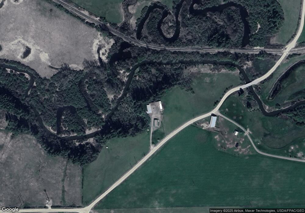
Map
Nearby Homes
- 1763 Hwy 395 S
- 1983 Heine Rd
- 1643 Highway 395 S
- 1877 Immel Rd
- 1606 Palmer Loop
- 1618 Palmer Loop
- 1622 Palmer Loop
- 1624 Palmer Loop
- 721 Palmer Ln
- 1649 Palmer Loop
- 300 Palmer Ln
- Lot 27 Palmer Ln
- 6XX Palmer Ln
- 1644 Palmer Loop
- XXX Couples Ct
- LOT 23 Couples Ct
- 4XX Couples Ct
- 0 5xx Couples Ct
- LOT 4 Couples Ct
- 5XX Couples Ct
- 1925 Duncan Rd
- XX Duncan Rd
- 19XX Tetro Rd
- 18XX Tetro Rd
- 1859 Duncan Rd
- 1878 Tetro Rd
- 1762 Highway 395 S
- 1956 Duncan Rd
- 1834 Duncan Rd
- 1700 Blk 395 S
- 1766 Highway 395 S
- 1700 Blk S 395 Hwy
- 1700 Blk S 395 Hwy
- 1822 Duncan Rd
- 1763C Highway 395 S
- 1763K Hwy 395 S
- 1700 395 Hwy S
- 1798 Sunshine Way
- 1748 Highway 395 S
- 1733 Highway 395 S