1871 Howard Lewis Rd White Plains, GA 30678
Estimated Value: $988,000 - $1,638,000
--
Bed
4
Baths
3,472
Sq Ft
$379/Sq Ft
Est. Value
About This Home
This home is located at 1871 Howard Lewis Rd, White Plains, GA 30678 and is currently estimated at $1,315,443, approximately $378 per square foot. 1871 Howard Lewis Rd is a home located in Greene County with nearby schools including Greene County High School.
Ownership History
Date
Name
Owned For
Owner Type
Purchase Details
Closed on
Feb 22, 1999
Sold by
Dawson Dawson J and Dawson Deborah H
Bought by
Roads-Qc From Board Of Comm---
Current Estimated Value
Purchase Details
Closed on
Jun 25, 1993
Sold by
Batelaan Robert W and Batelaan Carol F
Bought by
Dawson Dawson J and Dawson Deborah H
Purchase Details
Closed on
Jan 5, 1984
Sold by
Lassiter Properties
Bought by
Batelaan Robert W and Batelaan Carol F
Purchase Details
Closed on
Sep 6, 1983
Bought by
Lassiter Properties
Create a Home Valuation Report for This Property
The Home Valuation Report is an in-depth analysis detailing your home's value as well as a comparison with similar homes in the area
Home Values in the Area
Average Home Value in this Area
Purchase History
| Date | Buyer | Sale Price | Title Company |
|---|---|---|---|
| Roads-Qc From Board Of Comm--- | -- | -- | |
| Dawson Dawson J | $85,000 | -- | |
| Batelaan Robert W | -- | -- | |
| Lassiter Properties | $300,000 | -- |
Source: Public Records
Tax History Compared to Growth
Tax History
| Year | Tax Paid | Tax Assessment Tax Assessment Total Assessment is a certain percentage of the fair market value that is determined by local assessors to be the total taxable value of land and additions on the property. | Land | Improvement |
|---|---|---|---|---|
| 2024 | $2,979 | $384,464 | $199,960 | $184,504 |
| 2023 | $2,701 | $376,452 | $199,960 | $176,492 |
| 2022 | $3,274 | $292,564 | $113,800 | $178,764 |
| 2021 | $3,478 | $259,204 | $101,480 | $157,724 |
| 2020 | $3,831 | $179,080 | $48,600 | $130,480 |
| 2019 | $3,938 | $179,080 | $48,600 | $130,480 |
| 2018 | $3,922 | $179,080 | $48,600 | $130,480 |
| 2017 | $3,676 | $179,177 | $48,600 | $130,577 |
| 2016 | $3,712 | $182,640 | $48,600 | $134,040 |
| 2015 | $3,698 | $182,640 | $48,600 | $134,040 |
| 2014 | $3,493 | $167,313 | $48,600 | $118,713 |
Source: Public Records
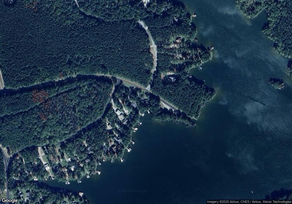
Map
Nearby Homes
- 1321 Clearwater Ln
- 1250 Cherokee Trail
- 1691 White Oak Dr
- Lot 45 Oconee Landing Dr
- lot 44 Oconee Landing Dr
- Lot 43 1030 Bay View Ct
- 1511 White Oak Dr
- 1041 Emerald Shores Dr
- 1061 Clearwater Dr
- 1010 Emerald Shores Dr
- 2001 Flat Rock Church Rd
- 1953 Flat Rock Church Rd
- 1889 Flat Rock Church Rd
- 1809 Flat Rock Church Rd
- 2205 Flat Rock Church Rd
- 2127 Flat Rock Church Rd
- 1861 Howard Lewis Rd
- 1020 Cherokee Trail
- 1030 Cherokee Trail
- 1001 Rockport Ln
- 1910 Howard Lewis Rd
- 1011 Rockport Ln
- 1040 Cherokee Trail
- 1031 Rockport Ln
- 1050 Cherokee Trail
- 1041 Rockport Ln
- 1060 Cherokee Trail
- 1070 Cherokee Trail
- 1051 Rockport Ln
- 1080 Cherokee Trail
- 1090 Cherokee Trail
- 1061 Rockport Ln
- 1120 Maple Ln
- 1100 Cherokee Trail
- 1110 Maple Ln