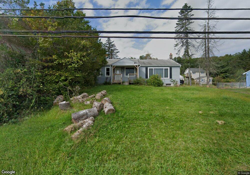
1871 State Route 29 Hwy Hunlock Creek, PA 18621
Estimated Value: $117,000 - $212,000
--
Bed
--
Bath
1,386
Sq Ft
$124/Sq Ft
Est. Value
About This Home
This home is located at 1871 State Route 29 Hwy, Hunlock Creek, PA 18621 and is currently estimated at $172,027, approximately $124 per square foot. 1871 State Route 29 Hwy is a home.
Ownership History
Date
Name
Owned For
Owner Type
Purchase Details
Closed on
Nov 19, 2021
Sold by
Johnson Kelly and Ayers Kelly
Bought by
Richards Joseph J
Current Estimated Value
Home Financials for this Owner
Home Financials are based on the most recent Mortgage that was taken out on this home.
Original Mortgage
$69,000
Outstanding Balance
$63,314
Interest Rate
3.09%
Mortgage Type
New Conventional
Estimated Equity
$108,713
Purchase Details
Closed on
Apr 29, 2019
Sold by
Long Shadow Builders Llc
Bought by
Johnson Kelly
Purchase Details
Closed on
Feb 5, 2019
Sold by
County Of Luzerne
Bought by
Long Shadow Builders Llc
Purchase Details
Closed on
Mar 31, 2008
Sold by
Boice Richard and Ayers Kelly
Bought by
Ayers Kelly
Create a Home Valuation Report for This Property
The Home Valuation Report is an in-depth analysis detailing your home's value as well as a comparison with similar homes in the area
Home Values in the Area
Average Home Value in this Area
Purchase History
| Date | Buyer | Sale Price | Title Company |
|---|---|---|---|
| Richards Joseph J | $92,000 | United One Resources Title | |
| Johnson Kelly | $13,928 | None Available | |
| Long Shadow Builders Llc | $8,928 | None Available | |
| Ayers Kelly | $30,000 | None Available |
Source: Public Records
Mortgage History
| Date | Status | Borrower | Loan Amount |
|---|---|---|---|
| Open | Richards Joseph J | $69,000 |
Source: Public Records
Tax History Compared to Growth
Tax History
| Year | Tax Paid | Tax Assessment Tax Assessment Total Assessment is a certain percentage of the fair market value that is determined by local assessors to be the total taxable value of land and additions on the property. | Land | Improvement |
|---|---|---|---|---|
| 2025 | $2,174 | $98,400 | $29,100 | $69,300 |
| 2024 | $2,152 | $98,400 | $29,100 | $69,300 |
| 2023 | $2,152 | $98,400 | $29,100 | $69,300 |
| 2022 | $2,035 | $98,400 | $29,100 | $69,300 |
| 2021 | $1,953 | $98,400 | $29,100 | $69,300 |
| 2020 | $1,953 | $98,400 | $29,100 | $69,300 |
| 2019 | $1,880 | $98,400 | $29,100 | $69,300 |
| 2018 | $1,804 | $98,400 | $29,100 | $69,300 |
| 2017 | $1,772 | $98,400 | $29,100 | $69,300 |
| 2016 | -- | $98,400 | $29,100 | $69,300 |
| 2015 | -- | $98,400 | $29,100 | $69,300 |
| 2014 | -- | $98,400 | $29,100 | $69,300 |
Source: Public Records
Map
Nearby Homes
- 15 Pearl St
- 983 Swamp Rd
- 141 Sayre Rd
- 641 Sorbertown Hill Rd
- 127 White Oak Dr
- 0 Sunnyside Dr
- 102 Lakeview Dr
- 0 Hunlock-Harveyville Rd
- 1B & C Hayfield Rd
- 85 Sorbertown Hill Rd
- 7 Sorbertown Hill Rd
- 1011 Mill St
- 53 Hunlock-Harveyville Rd
- Lot 54 Garden Dr
- 113 Jackson Rd
- 0 Beech St
- 34 Northview Ave
- 41 Northview Ave
- 53 Vista Dr
- 40 Honey Pot St
- 1869 Pennsylvania 29
- 7 Lake Ave
- 1879 State Route 29 Hwy
- 15 Lake Ave
- 1880 Pennsylvania 29
- 1879 Pennsylvania 29
- 1881 State Route 29 Hwy
- 44 Goodwin Dr
- 42 Goodwin Dr
- 12 Lake Ave
- 50 Goodwin Dr
- 14 Lake Ave
- 36 Goodwin Dr
- 1882 Pennsylvania 29
- 18 Lake Ave
- 1883 Pennsylvania 29
- 1883 State Route 29 Hwy
- 24 Lake Ave
- 1889 State Route 29 Hwy
- 49 Goodwin Dr