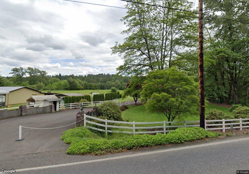
18717 NE Risto Rd Battle Ground, WA 98604
Estimated Value: $968,000 - $1,062,901
5
Beds
4
Baths
2,696
Sq Ft
$375/Sq Ft
Est. Value
About This Home
This home is located at 18717 NE Risto Rd, Battle Ground, WA 98604 and is currently estimated at $1,011,975, approximately $375 per square foot. 18717 NE Risto Rd is a home located in Clark County with nearby schools including Tukes Valley Primary School, Tukes Valley Middle School, and Battle Ground High School.
Ownership History
Date
Name
Owned For
Owner Type
Purchase Details
Closed on
Nov 11, 1997
Sold by
Lowry Bradley C
Bought by
Orander James E and Orander Barbara J
Current Estimated Value
Home Financials for this Owner
Home Financials are based on the most recent Mortgage that was taken out on this home.
Original Mortgage
$220,000
Outstanding Balance
$36,169
Interest Rate
7.3%
Estimated Equity
$975,806
Create a Home Valuation Report for This Property
The Home Valuation Report is an in-depth analysis detailing your home's value as well as a comparison with similar homes in the area
Home Values in the Area
Average Home Value in this Area
Purchase History
| Date | Buyer | Sale Price | Title Company |
|---|---|---|---|
| Orander James E | $335,000 | Chicago Title Insurance Co |
Source: Public Records
Mortgage History
| Date | Status | Borrower | Loan Amount |
|---|---|---|---|
| Open | Orander James E | $220,000 |
Source: Public Records
Tax History Compared to Growth
Tax History
| Year | Tax Paid | Tax Assessment Tax Assessment Total Assessment is a certain percentage of the fair market value that is determined by local assessors to be the total taxable value of land and additions on the property. | Land | Improvement |
|---|---|---|---|---|
| 2025 | $7,699 | $977,897 | $418,175 | $559,722 |
| 2024 | $6,709 | $930,048 | $393,473 | $536,575 |
| 2023 | $6,954 | $928,385 | $382,887 | $545,498 |
| 2022 | $6,646 | $879,467 | $339,264 | $540,203 |
| 2021 | $6,826 | $732,091 | $292,406 | $439,685 |
| 2020 | $6,456 | $688,316 | $277,411 | $410,905 |
| 2019 | $5,408 | $633,429 | $239,925 | $393,504 |
| 2018 | $6,381 | $609,005 | $0 | $0 |
| 2017 | $5,648 | $547,781 | $0 | $0 |
| 2016 | $5,550 | $529,489 | $0 | $0 |
| 2015 | $5,499 | $477,422 | $0 | $0 |
| 2014 | -- | $447,425 | $0 | $0 |
| 2013 | -- | $407,515 | $0 | $0 |
Source: Public Records
Map
Nearby Homes
- 18426 NE 191st Cir
- 20205 NE 190th Ave
- 19911 NE 179th Ct
- 18511 NE 181st St
- 19119 NE 204th Ave
- 17600 NE 188th Ct
- 18717 NE 208th Ct
- 21405 NE 167th Ave
- 21017 NE Risto Rd
- 0 NE 212th Ave
- 15615 NE 182nd Ave
- 2704 SE 25th Ave
- 2312 SE Eaton Blvd
- 2344 SE 27th St
- 2706 SE 22nd Ave
- 22814 NE 182nd Ave
- 2805 SE 21st Place
- 15811 NE 180th St
- 22405 NE 167th Ave
- 2036 SE 27th St
- 18605 NE Risto Rd
- 18805 NE Risto Rd
- 18813 NE Risto Rd
- 18720 NE Risto Rd
- 18612 NE Risto Rd
- 18516 NE Risto Rd
- 19918 NE 190th Ave
- 18509 NE Risto Rd
- 18513 NE Risto Rd Unit 3
- 20000 NE 190th Ave
- 18505 NE Risto Rd
- 18513 NE Risto Rd Unit 3
- 19809 NE Lakin Rd
- 19909 NE Lakin Rd
- 20006 NE 190th Ave
- 18804 NE 191st Cir
- 19917 NE Lakin Rd
- 18818 NE 191st Cir
- 0 NE Lakin Rd Unit 16634288
- 0 NE Lakin Rd Unit 1 16585594