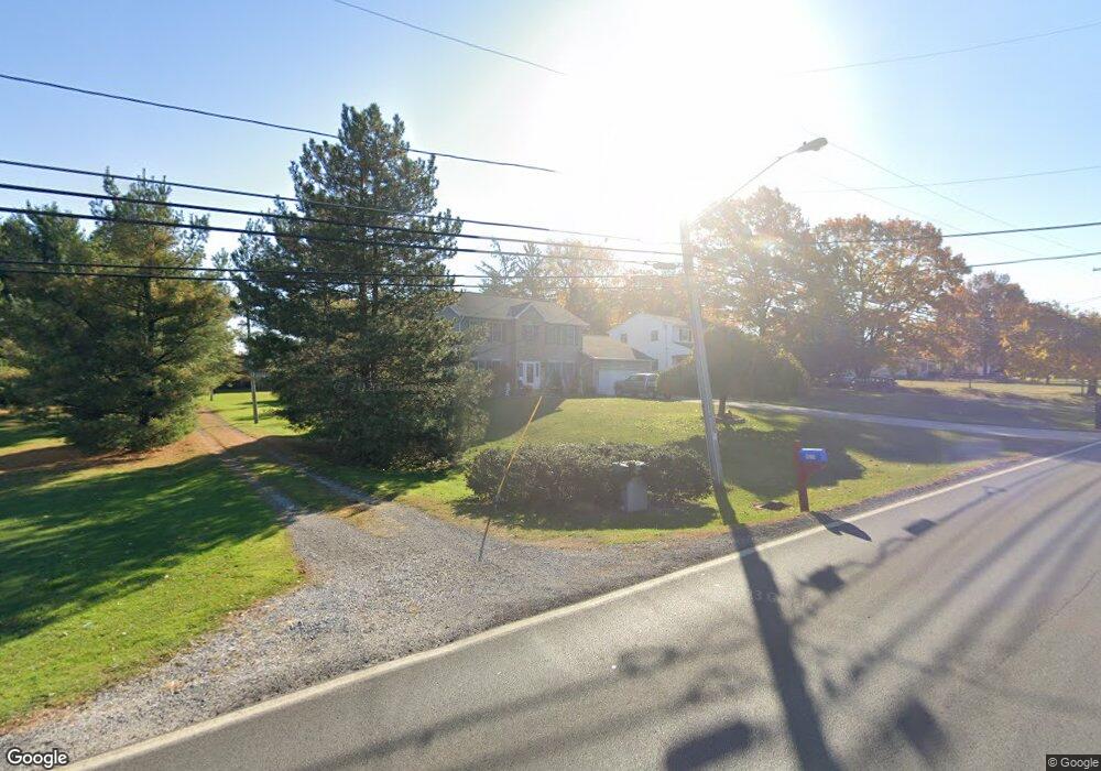
18719 Howe Rd Strongsville, OH 44136
Estimated Value: $391,763 - $490,000
4
Beds
3
Baths
2,512
Sq Ft
$174/Sq Ft
Est. Value
About This Home
This home is located at 18719 Howe Rd, Strongsville, OH 44136 and is currently estimated at $436,441, approximately $173 per square foot. 18719 Howe Rd is a home located in Cuyahoga County with nearby schools including Strongsville High School.
Ownership History
Date
Name
Owned For
Owner Type
Purchase Details
Closed on
Jul 29, 2009
Sold by
Kelly Timothy P
Bought by
Jackson Renee K
Current Estimated Value
Home Financials for this Owner
Home Financials are based on the most recent Mortgage that was taken out on this home.
Original Mortgage
$208,160
Outstanding Balance
$137,236
Interest Rate
5.43%
Mortgage Type
FHA
Estimated Equity
$299,205
Purchase Details
Closed on
Mar 6, 2000
Sold by
Kelly Timothy P and Marie Kelly Ann
Bought by
Kelly Timothy P
Home Financials for this Owner
Home Financials are based on the most recent Mortgage that was taken out on this home.
Original Mortgage
$144,000
Interest Rate
8.26%
Purchase Details
Closed on
Jan 1, 1991
Bought by
Falkenberg Conrad
Create a Home Valuation Report for This Property
The Home Valuation Report is an in-depth analysis detailing your home's value as well as a comparison with similar homes in the area
Home Values in the Area
Average Home Value in this Area
Purchase History
| Date | Buyer | Sale Price | Title Company |
|---|---|---|---|
| Jackson Renee K | $212,000 | Barristers Title Agency | |
| Kelly Timothy P | -- | Prospect Title Agency Inc | |
| Falkenberg Conrad | -- | -- |
Source: Public Records
Mortgage History
| Date | Status | Borrower | Loan Amount |
|---|---|---|---|
| Open | Jackson Renee K | $208,160 | |
| Previous Owner | Kelly Timothy P | $144,000 |
Source: Public Records
Tax History Compared to Growth
Tax History
| Year | Tax Paid | Tax Assessment Tax Assessment Total Assessment is a certain percentage of the fair market value that is determined by local assessors to be the total taxable value of land and additions on the property. | Land | Improvement |
|---|---|---|---|---|
| 2024 | $6,163 | $131,250 | $12,005 | $119,245 |
| 2023 | $6,187 | $98,810 | $15,020 | $83,790 |
| 2022 | $6,142 | $98,810 | $15,020 | $83,790 |
| 2021 | $6,094 | $98,810 | $15,020 | $83,790 |
| 2020 | $5,646 | $80,990 | $12,320 | $68,670 |
| 2019 | $5,480 | $231,400 | $35,200 | $196,200 |
| 2018 | $4,806 | $80,990 | $12,320 | $68,670 |
| 2017 | $4,725 | $71,230 | $11,130 | $60,100 |
| 2016 | $4,687 | $71,230 | $11,130 | $60,100 |
| 2015 | $4,753 | $71,230 | $11,130 | $60,100 |
| 2014 | $4,753 | $71,230 | $11,130 | $60,100 |
Source: Public Records
Map
Nearby Homes
- 18229 Howe Rd
- 17130 Golden Star Dr
- 16711 Beech Cir
- 16486 S Red Rock Dr
- 14985 Camden Cir
- 19694 Benbow Rd
- 15772 Boston Rd
- 15604-REAR Boston Rd
- 19740 Benbow Rd
- 18987 Laurell Cir
- 15188 Trails Landing
- 97 Weathervane Ln
- 17159 Turkey Meadow Ln
- 19813 Cross Trail S
- 14558 Drake Rd
- 17745 Brick Mill Run
- 16650 Lanier Ave
- 14132 Walking Stick Way
- 17682 Drake Rd
- 3137 Blackburn Ln
- 18763 Howe Rd
- 18669 Howe Rd
- 18805 Howe Rd
- 16025 Acacia Dr
- 16040 Acacia Dr
- 18631 Howe Rd
- 16067 Acacia Dr
- 18847 Howe Rd
- 16028 Falmouth Dr
- 16084 Acacia Dr
- 16109 Acacia Dr
- 16062 Falmouth Dr
- 18893 Howe Rd
- 16151 Acacia Dr
- 18563 Howe Rd
- 16096 Falmouth Dr
- 16209 Pepperwood Ct
- 16172 Acacia Dr
- 18495 Howe Rd
- 18935 Howe Rd