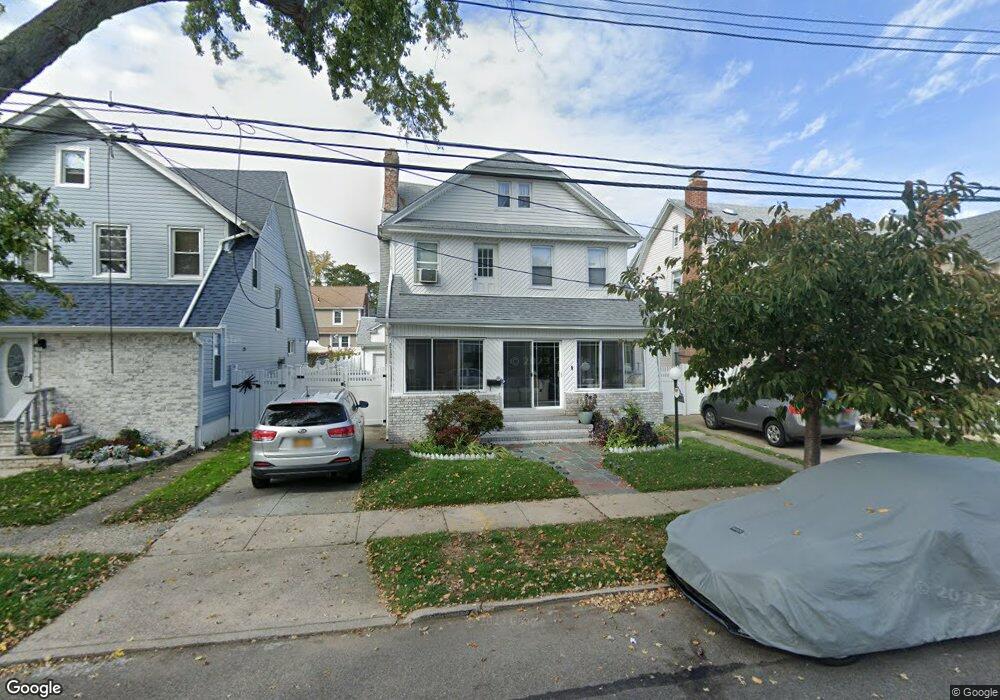
18719 Sullivan Rd Saint Albans, NY 11412
Saint Albans NeighborhoodEstimated Value: $655,848 - $869,000
--
Bed
--
Bath
1,550
Sq Ft
$488/Sq Ft
Est. Value
About This Home
This home is located at 18719 Sullivan Rd, Saint Albans, NY 11412 and is currently estimated at $756,462, approximately $488 per square foot. 18719 Sullivan Rd is a home located in Queens County with nearby schools including Ps 36 St Albans School, Is 59 Springfield Gardens, and Riverton Street Charter School.
Ownership History
Date
Name
Owned For
Owner Type
Purchase Details
Closed on
Jun 13, 2002
Sold by
Williams Penci
Bought by
Darby Vernetta and Prince Peter A
Current Estimated Value
Home Financials for this Owner
Home Financials are based on the most recent Mortgage that was taken out on this home.
Original Mortgage
$264,200
Outstanding Balance
$111,552
Interest Rate
6.79%
Estimated Equity
$644,910
Create a Home Valuation Report for This Property
The Home Valuation Report is an in-depth analysis detailing your home's value as well as a comparison with similar homes in the area
Home Values in the Area
Average Home Value in this Area
Purchase History
| Date | Buyer | Sale Price | Title Company |
|---|---|---|---|
| Darby Vernetta | -- | -- |
Source: Public Records
Mortgage History
| Date | Status | Borrower | Loan Amount |
|---|---|---|---|
| Open | Darby Vernetta | $264,200 |
Source: Public Records
Tax History Compared to Growth
Tax History
| Year | Tax Paid | Tax Assessment Tax Assessment Total Assessment is a certain percentage of the fair market value that is determined by local assessors to be the total taxable value of land and additions on the property. | Land | Improvement |
|---|---|---|---|---|
| 2025 | $5,637 | $29,749 | $8,608 | $21,141 |
| 2024 | $5,637 | $28,067 | $7,919 | $20,148 |
| 2023 | $5,637 | $28,067 | $8,238 | $19,829 |
| 2022 | $5,560 | $38,940 | $12,240 | $26,700 |
| 2021 | $5,530 | $32,280 | $12,240 | $20,040 |
| 2020 | $5,248 | $31,380 | $12,240 | $19,140 |
| 2019 | $4,893 | $33,060 | $12,240 | $20,820 |
| 2018 | $4,768 | $23,389 | $11,553 | $11,836 |
| 2017 | $4,731 | $23,210 | $10,785 | $12,425 |
| 2016 | $4,377 | $23,210 | $10,785 | $12,425 |
| 2015 | $2,641 | $20,659 | $12,118 | $8,541 |
| 2014 | $2,641 | $19,491 | $13,013 | $6,478 |
Source: Public Records
Map
Nearby Homes
- 187-15 Tioga Dr
- 115-11 180th St
- 188-45 Quencer Rd
- 116-39 Newburg St
- 11480 178th Place
- 179-07 Murdock Ave
- 189-18 114th Dr
- 18918 Tioga Dr
- 18908 114th Rd
- 115-72 Farmers Blvd
- 114-88 177th Place
- 188-07 Mangin Ave
- 18833 Keeseville Ave
- 191-16 114th Rd
- 18823 Mangin Ave
- 188-25 Mangin Ave
- 112- 2 178th St
- 11176 180th St
- 112-13 178th St
- 11461 176th St
- 18715 Sullivan Rd
- 18723 Sullivan Rd
- 18727 Sullivan Rd
- 18711 Sullivan Rd
- 18718 Rome Dr
- 18714 Rome Dr
- 18722 Rome Dr
- 18718 Rome Dr
- 18707 Sullivan Rd
- 18731 Sullivan Rd
- 187-10 Rome Dr
- 18710 Rome Dr
- 18726 Rome Dr
- 18706 Rome Dr
- 18730 Rome Dr
- 18735 Sullivan Rd
- 18720 Sullivan Rd
- 187-01 Sullivan Rd
- 187-20 Sullivan Rd
- 18724 Sullivan Rd