1872 Anderson Rd Point Roberts, WA 98281
Estimated Value: $282,000 - $453,000
3
Beds
2
Baths
1,632
Sq Ft
$214/Sq Ft
Est. Value
About This Home
This home is located at 1872 Anderson Rd, Point Roberts, WA 98281 and is currently estimated at $349,578, approximately $214 per square foot. 1872 Anderson Rd is a home located in Whatcom County with nearby schools including Point Roberts Primary School, Blaine Middle School, and Blaine High School.
Ownership History
Date
Name
Owned For
Owner Type
Purchase Details
Closed on
Aug 29, 2003
Sold by
Solvason Stephen and Lord Richard
Bought by
Cogman Cheri
Current Estimated Value
Home Financials for this Owner
Home Financials are based on the most recent Mortgage that was taken out on this home.
Original Mortgage
$76,300
Outstanding Balance
$34,492
Interest Rate
5.87%
Mortgage Type
Purchase Money Mortgage
Estimated Equity
$315,086
Purchase Details
Closed on
Sep 29, 2000
Sold by
Solvason Stephen
Bought by
Solvason Stephen and Lord Gloria Jean
Create a Home Valuation Report for This Property
The Home Valuation Report is an in-depth analysis detailing your home's value as well as a comparison with similar homes in the area
Home Values in the Area
Average Home Value in this Area
Purchase History
| Date | Buyer | Sale Price | Title Company |
|---|---|---|---|
| Cogman Cheri | -- | First American Title Ins | |
| Solvason Stephen | -- | First American Title Ins Co |
Source: Public Records
Mortgage History
| Date | Status | Borrower | Loan Amount |
|---|---|---|---|
| Open | Cogman Cheri | $76,300 |
Source: Public Records
Tax History Compared to Growth
Tax History
| Year | Tax Paid | Tax Assessment Tax Assessment Total Assessment is a certain percentage of the fair market value that is determined by local assessors to be the total taxable value of land and additions on the property. | Land | Improvement |
|---|---|---|---|---|
| 2024 | $2,213 | $266,848 | $102,383 | $164,465 |
| 2023 | $2,213 | $257,540 | $93,075 | $164,465 |
| 2022 | $1,588 | $235,196 | $85,000 | $150,196 |
| 2021 | $1,582 | $148,908 | $40,128 | $108,780 |
| 2020 | $1,579 | $137,876 | $37,155 | $100,721 |
| 2019 | $1,472 | $132,254 | $35,640 | $96,614 |
| 2018 | $1,316 | $118,895 | $32,040 | $86,855 |
| 2017 | $1,143 | $113,552 | $30,600 | $82,952 |
| 2016 | $1,281 | $111,325 | $30,000 | $81,325 |
| 2015 | $1,362 | $121,588 | $32,847 | $88,741 |
| 2014 | -- | $127,111 | $34,340 | $92,771 |
| 2013 | -- | $121,509 | $32,980 | $88,529 |
Source: Public Records
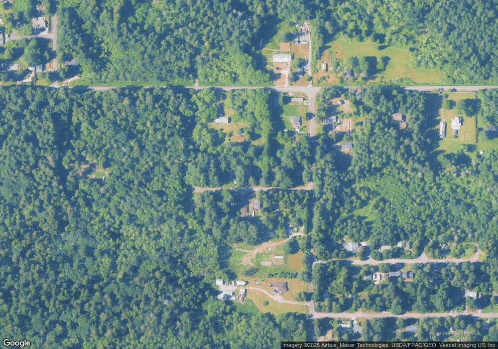
Map
Nearby Homes
- 0 6 39 Acres South Beach Rd
- 2 Benson Rd
- lot 14 Cedar Park Dr Unit 14
- 1976 Cedar Park Dr
- Lot 2 Greenwood Dr
- 8 Heather Way
- 1940 Apa Rd
- 1911 Apa Rd
- 634 S Beach Rd
- 1927 Orcas View Way
- 1 Mill Rd
- 2 Mill Rd
- 661 Driftwood Ln
- 1934 Waters Rd
- 1871 Johnson Rd
- 2045 Apa Rd
- 245 Shady Glen Ave
- 2138 Benson Rd
- 1920 Patos Way
- 698 Kendor Dr
- 1878 Anderson Rd
- 1866 Anderson Rd
- 1867 Anderson Rd
- 1875 Anderson Rd
- 1884 Anderson Rd
- 1883 Anderson Rd
- 1871 Benson Rd
- 1881 Benson Rd
- 423 S Beach Rd
- 1894 Anderson Rd
- 1863 Benson Rd
- 413 S Beach Rd
- 409 S Beach Rd
- 1885 Benson Rd
- 405 S Beach Rd
- 1686 Benson Rd
- 416 S Beach Rd
- 4.85 Acres Benson Rd
- 0 Lot 7 Benson Rd