Estimated Value: $664,000 - $1,221,000
4
Beds
4
Baths
4,092
Sq Ft
$246/Sq Ft
Est. Value
About This Home
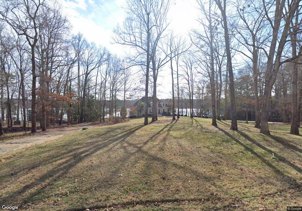
This home is located at 1872 Colina Rd Unit 10, York, SC 29745 and is currently estimated at $1,005,843, approximately $245 per square foot. 1872 Colina Rd Unit 10 is a home located in York County with nearby schools including Bethel Elementary School, Oakridge Middle School, and Clover High School.
Ownership History
Date
Name
Owned For
Owner Type
Purchase Details
Closed on
Feb 12, 2007
Sold by
Wylie Donald M and Wylie Kathy A
Bought by
Wylie Donald M and Wylie Kathy A
Current Estimated Value
Purchase Details
Closed on
Nov 9, 2006
Sold by
Peterson Michael Wayne and Peterson Molly
Bought by
Wylie Donald M and Wylie Kathy A
Purchase Details
Closed on
Apr 13, 2005
Sold by
Crescent Resources Llc
Bought by
Peterson Michael Wayne and Peterson Molly
Purchase Details
Closed on
Jan 20, 2005
Sold by
Vermillion Investments Inc
Bought by
Peterson Michael Wayne and Peterson Molly
Home Financials for this Owner
Home Financials are based on the most recent Mortgage that was taken out on this home.
Original Mortgage
$275,000
Interest Rate
5.48%
Mortgage Type
New Conventional
Purchase Details
Closed on
Apr 15, 2004
Sold by
Scott John James
Bought by
Charlotte Assoc Lp
Create a Home Valuation Report for This Property
The Home Valuation Report is an in-depth analysis detailing your home's value as well as a comparison with similar homes in the area
Home Values in the Area
Average Home Value in this Area
Purchase History
| Date | Buyer | Sale Price | Title Company |
|---|---|---|---|
| Wylie Donald M | -- | None Available | |
| Wylie Donald M | $910,000 | None Available | |
| Peterson Michael Wayne | $26,000 | -- | |
| Peterson Michael Wayne | $197,500 | -- | |
| Charlotte Assoc Lp | -- | -- |
Source: Public Records
Mortgage History
| Date | Status | Borrower | Loan Amount |
|---|---|---|---|
| Previous Owner | Peterson Michael Wayne | $275,000 |
Source: Public Records
Tax History Compared to Growth
Tax History
| Year | Tax Paid | Tax Assessment Tax Assessment Total Assessment is a certain percentage of the fair market value that is determined by local assessors to be the total taxable value of land and additions on the property. | Land | Improvement |
|---|---|---|---|---|
| 2024 | $15,902 | $39,606 | $17,799 | $21,807 |
| 2023 | $15,446 | $39,606 | $17,799 | $21,807 |
| 2022 | $2,953 | $26,404 | $11,866 | $14,538 |
| 2021 | -- | $26,404 | $11,866 | $14,538 |
| 2020 | $2,821 | $26,404 | $0 | $0 |
| 2019 | $2,635 | $22,960 | $0 | $0 |
| 2018 | $2,647 | $22,960 | $0 | $0 |
| 2017 | $2,467 | $22,960 | $0 | $0 |
| 2016 | $2,316 | $22,960 | $0 | $0 |
| 2014 | $3,124 | $22,960 | $12,000 | $10,960 |
| 2013 | $3,124 | $27,068 | $11,748 | $15,320 |
Source: Public Records
Map
Nearby Homes
- 249 Blue Heron Dr
- 2021 & 2051 Fasana Dr
- 2074 Brandt Rd
- 201 Price Place Ln
- 1657 Bowater Rd
- 1665 Bowater Rd
- 1641 Bowater Rd
- 885 Regulus Ct
- 885 Regulus Ct Unit 42
- 881 Regulus Ct Unit 43
- 877 Regulus Ct Unit 44
- 675 Winding Branch Rd
- 745 Sirius Ln Unit 95
- 646 Amberjack Place
- 646 Amberjack Place Unit 74
- 2019 Covered Bridge Ct Unit 107
- 1590 Springpoint Rd Unit E
- 733 Sirius Ln
- 634 Amberjack Place Unit 77
- 2035 Covered Bridge Ct
- 1872 Colina Rd
- 1856 Colina Rd
- 2180 Mariners Bluff Rd
- 1940 Polaris Rd
- 1930 Polaris Rd
- 1948 Polaris Rd
- 1920 Polaris Rd
- 1912 Polaris Rd
- 1900 Polaris Rd
- 2047 Old Eury Rd
- 2060 Old Eury Rd
- 1888 Polaris Rd
- 2001 Old Eury Rd
- 1995 Old Eury Rd
- 219 Price Place Ln
- 219 Price Place Ln
- 217 Price Place Ln
- 217 Price Place Ln
- 1990 Old Eury Rd
- 2056 Brandt Rd